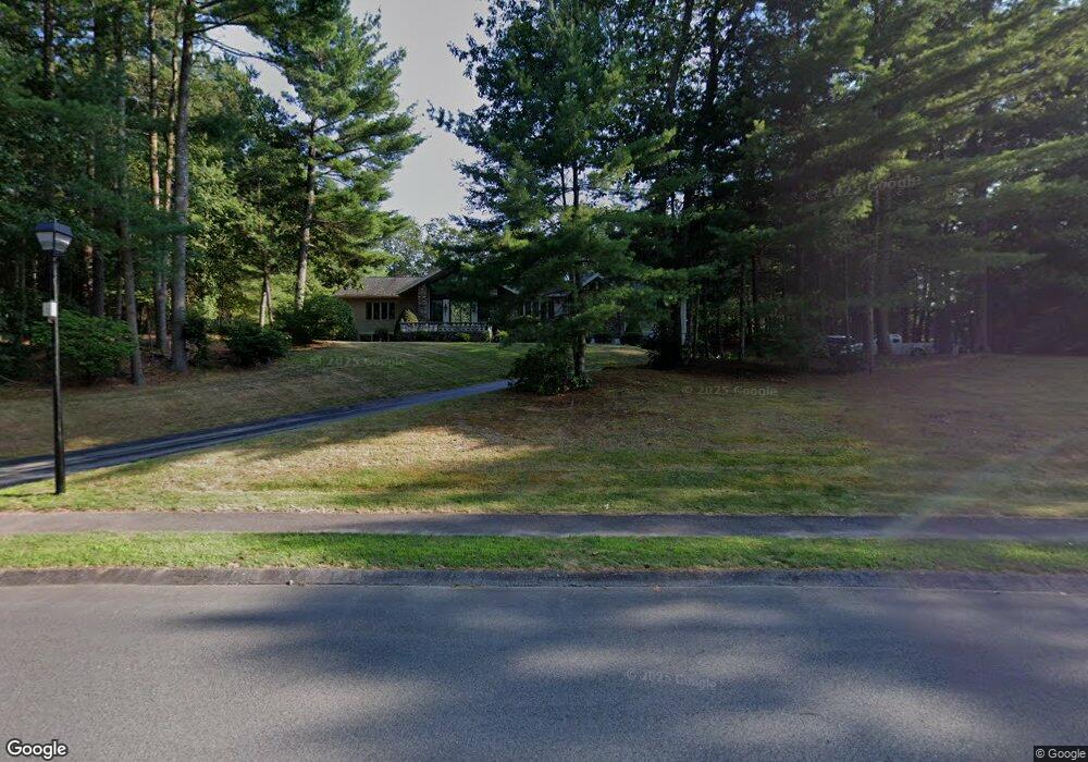
12 James Ave Middleton, MA 01949
Estimated Value: $1,344,000 - $1,454,000
4
Beds
6
Baths
3,215
Sq Ft
$433/Sq Ft
Est. Value
About This Home
This home is located at 12 James Ave, Middleton, MA 01949 and is currently estimated at $1,391,933, approximately $432 per square foot. 12 James Ave is a home located in Essex County with nearby schools including Howe-Manning Elementary School, Fuller Meadow Elementary School, and Masconomet Regional Middle School.
Ownership History
Date
Name
Owned For
Owner Type
Purchase Details
Closed on
Jun 4, 2021
Sold by
Patrice A Medico Rt and Bruno
Bought by
Bruno Paul J and Medico Patrice A
Current Estimated Value
Home Financials for this Owner
Home Financials are based on the most recent Mortgage that was taken out on this home.
Original Mortgage
$340,000
Outstanding Balance
$306,483
Interest Rate
2.9%
Mortgage Type
New Conventional
Estimated Equity
$1,085,450
Purchase Details
Closed on
Feb 25, 2011
Sold by
Medico Mildred P
Bought by
Patrice A Medico Rt and Medico
Create a Home Valuation Report for This Property
The Home Valuation Report is an in-depth analysis detailing your home's value as well as a comparison with similar homes in the area
Home Values in the Area
Average Home Value in this Area
Purchase History
| Date | Buyer | Sale Price | Title Company |
|---|---|---|---|
| Bruno Paul J | -- | None Available | |
| Bruno Paul J | -- | None Available | |
| Bruno Paul J | -- | None Available | |
| Bruno Paul J | -- | None Available | |
| Patrice A Medico Rt | -- | -- | |
| Patrice A Medico Rt | -- | -- |
Source: Public Records
Mortgage History
| Date | Status | Borrower | Loan Amount |
|---|---|---|---|
| Open | Bruno Paul J | $340,000 | |
| Closed | Bruno Paul J | $340,000 |
Source: Public Records
Tax History
| Year | Tax Paid | Tax Assessment Tax Assessment Total Assessment is a certain percentage of the fair market value that is determined by local assessors to be the total taxable value of land and additions on the property. | Land | Improvement |
|---|---|---|---|---|
| 2025 | $14,906 | $1,253,700 | $430,100 | $823,600 |
| 2024 | $12,589 | $1,067,800 | $402,100 | $665,700 |
| 2023 | $13,243 | $1,029,000 | $440,100 | $588,900 |
| 2022 | $11,490 | $867,200 | $348,100 | $519,100 |
| 2021 | $10,920 | $795,900 | $330,100 | $465,800 |
| 2020 | $11,103 | $815,200 | $340,100 | $475,100 |
| 2019 | $10,815 | $790,000 | $324,100 | $465,900 |
| 2018 | $11,370 | $814,500 | $318,100 | $496,400 |
| 2017 | $10,097 | $723,800 | $272,100 | $451,700 |
| 2016 | $10,186 | $733,300 | $256,100 | $477,200 |
| 2015 | $8,756 | $635,400 | $252,100 | $383,300 |
Source: Public Records
Map
Nearby Homes
- 6 White Ln
- 6 Cabral Dr
- 2 Wedge Ct Unit 2
- 67 Fuller Pond Rd
- 15 Rowell Ln Unit 15
- 1 Mills Point Unit 1
- 20 Bellingham Ct
- 12 Couture Way
- 1 Couture Way
- 5 Wennerberg Rd
- 6 Greystone Dr
- 40 Glen Dr
- 47 Maple St Unit A
- 19 Peachey Cir
- 11 James Coffin Way Unit 11
- 220 Swan Pond Rd
- 1466 Main St
- 37 Peaslee Cir Unit 37
- 31 Styles Dr
- 23 Hamilton Rd
Your Personal Tour Guide
Ask me questions while you tour the home.