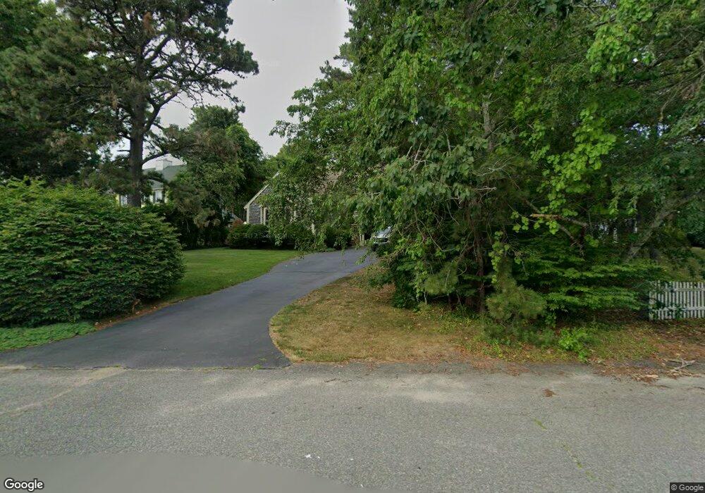
12 Jamies Path Plymouth, MA 02360
Estimated Value: $668,000 - $757,000
3
Beds
3
Baths
2,400
Sq Ft
$300/Sq Ft
Est. Value
About This Home
This home is located at 12 Jamies Path, Plymouth, MA 02360 and is currently estimated at $719,486, approximately $299 per square foot. 12 Jamies Path is a home located in Plymouth County with nearby schools including West Elementary School, Plymouth Community Intermediate, and Plymouth North High School.
Ownership History
Date
Name
Owned For
Owner Type
Purchase Details
Closed on
Jun 20, 2018
Sold by
Sankey William R and Sankey Karen F
Bought by
Wrskfs Nt and Sankey
Current Estimated Value
Purchase Details
Closed on
Jul 31, 1997
Sold by
Ginesi Donald F
Bought by
Sankey William R and Sankey Karen F
Home Financials for this Owner
Home Financials are based on the most recent Mortgage that was taken out on this home.
Original Mortgage
$148,000
Interest Rate
7.55%
Mortgage Type
Purchase Money Mortgage
Purchase Details
Closed on
Apr 15, 1992
Sold by
R-Jam Inc
Bought by
Ginesi Donald F
Home Financials for this Owner
Home Financials are based on the most recent Mortgage that was taken out on this home.
Original Mortgage
$209,000
Interest Rate
8.75%
Mortgage Type
Purchase Money Mortgage
Create a Home Valuation Report for This Property
The Home Valuation Report is an in-depth analysis detailing your home's value as well as a comparison with similar homes in the area
Home Values in the Area
Average Home Value in this Area
Purchase History
| Date | Buyer | Sale Price | Title Company |
|---|---|---|---|
| Wrskfs Nt | -- | -- | |
| Sankey William R | $185,000 | -- | |
| Ginesi Donald F | $232,300 | -- | |
| Ginesi Donald F | $232,300 | -- |
Source: Public Records
Mortgage History
| Date | Status | Borrower | Loan Amount |
|---|---|---|---|
| Previous Owner | Ginesi Donald F | $102,800 | |
| Previous Owner | Ginesi Donald F | $134,000 | |
| Previous Owner | Ginesi Donald F | $148,000 | |
| Previous Owner | Ginesi Donald F | $209,000 |
Source: Public Records
Tax History Compared to Growth
Tax History
| Year | Tax Paid | Tax Assessment Tax Assessment Total Assessment is a certain percentage of the fair market value that is determined by local assessors to be the total taxable value of land and additions on the property. | Land | Improvement |
|---|---|---|---|---|
| 2025 | $7,943 | $625,900 | $238,000 | $387,900 |
| 2024 | $7,663 | $595,400 | $226,000 | $369,400 |
| 2023 | $7,562 | $551,600 | $206,000 | $345,600 |
| 2022 | $6,957 | $450,900 | $185,900 | $265,000 |
| 2021 | $7,002 | $433,300 | $185,900 | $247,400 |
| 2020 | $6,882 | $420,900 | $175,900 | $245,000 |
| 2019 | $7,413 | $448,200 | $155,900 | $292,300 |
| 2018 | $7,806 | $448,000 | $153,100 | $294,900 |
| 2017 | $7,270 | $438,500 | $153,100 | $285,400 |
| 2016 | $7,095 | $436,100 | $147,900 | $288,200 |
| 2015 | $6,839 | $440,100 | $149,400 | $290,700 |
| 2014 | $6,524 | $431,200 | $149,400 | $281,800 |
Source: Public Records
Map
Nearby Homes
- 144 Industrial Park Rd
- 2 Mariner's Way Unit 301
- 16 Matty Ln
- 6 Stone Gate Dr
- 7 W Hill Rd
- 166 Carver Rd
- 16 Jan Marie Dr
- 15 Sansome St
- 16 Filmore St
- 62 Jan Marie Dr
- 57 Kristin Rd
- 116 Pilgrim Trail
- 91 Monks Hill Rd
- 3 Winter Hollow
- 198 Samoset St
- 235 Carver Rd Unit 7
- 5 Marc Dr Unit 1
- 5 Marc Dr Unit 5
- 5 Marc Dr Unit 8
- 2 Marc Dr Unit 2B2
- 16 Jamies Path
- 8 Jamies Path
- 20 Jamies Path
- 2 Jamies Path
- 24 Jamies Path
- 15 Jamie's Path
- 7 Jamies Path
- 15 Jamies Path
- 15 Jamies Path Unit 1
- 11 Jamies Path
- 19 Jamies Path
- 26 Jamies Path
- 26 Jamie's Path
- 23 Jamies Path
- 30 Jamies Path
- 27 Jamie's Path
- 27 Jamies Path
- 27 Jamies Path Unit 1
- 3 Jamies Path
- 5R Dundee Way