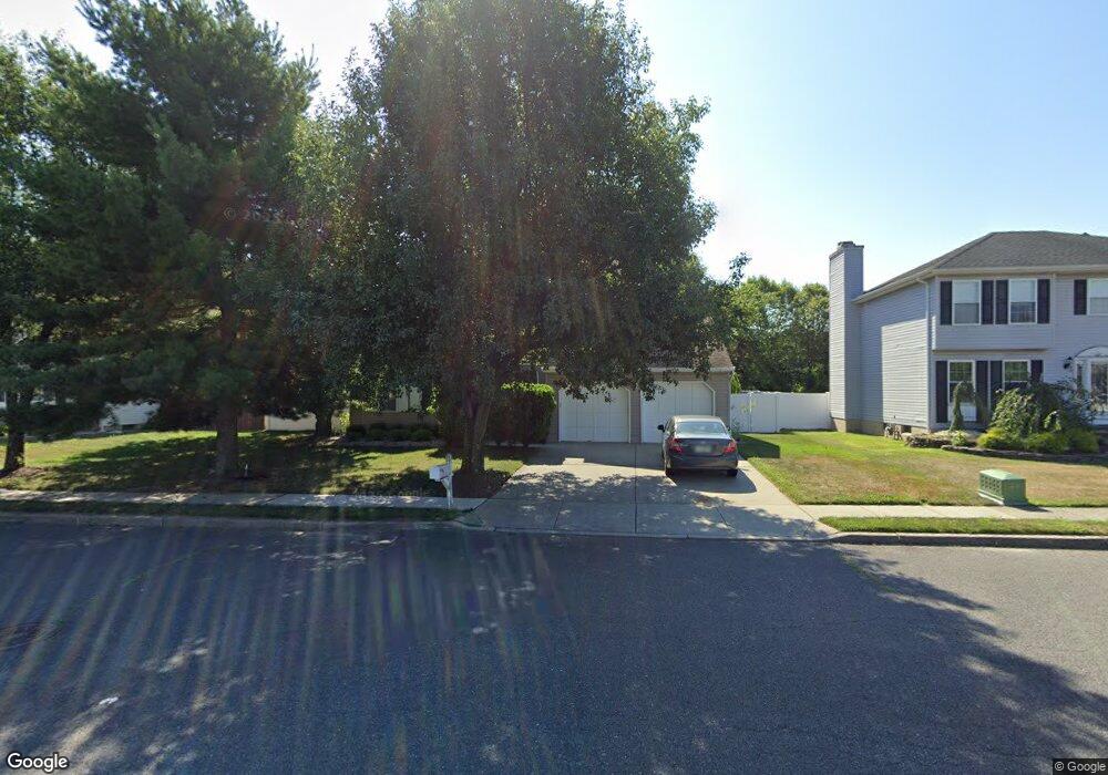
12 Jason Ct Howell, NJ 07731
Salem Hill NeighborhoodEstimated Value: $726,507 - $823,000
4
Beds
2
Baths
2,411
Sq Ft
$322/Sq Ft
Est. Value
About This Home
This home is located at 12 Jason Ct, Howell, NJ 07731 and is currently estimated at $775,627, approximately $321 per square foot. 12 Jason Ct is a home located in Monmouth County with nearby schools including Taunton School, Aldrich School, and Howell Township Middle School South.
Ownership History
Date
Name
Owned For
Owner Type
Purchase Details
Closed on
Jul 2, 1998
Sold by
Pan Peter
Bought by
Bhattacharya Samir and Bhattacharya Sampa
Current Estimated Value
Home Financials for this Owner
Home Financials are based on the most recent Mortgage that was taken out on this home.
Original Mortgage
$174,000
Outstanding Balance
$35,577
Interest Rate
6.99%
Estimated Equity
$740,050
Create a Home Valuation Report for This Property
The Home Valuation Report is an in-depth analysis detailing your home's value as well as a comparison with similar homes in the area
Home Values in the Area
Average Home Value in this Area
Purchase History
| Date | Buyer | Sale Price | Title Company |
|---|---|---|---|
| Bhattacharya Samir | $217,500 | -- |
Source: Public Records
Mortgage History
| Date | Status | Borrower | Loan Amount |
|---|---|---|---|
| Open | Bhattacharya Samir | $174,000 |
Source: Public Records
Tax History
| Year | Tax Paid | Tax Assessment Tax Assessment Total Assessment is a certain percentage of the fair market value that is determined by local assessors to be the total taxable value of land and additions on the property. | Land | Improvement |
|---|---|---|---|---|
| 2025 | $10,364 | $657,000 | $284,200 | $372,800 |
| 2024 | $8,870 | $582,900 | $184,200 | $398,700 |
| 2023 | $8,870 | $476,600 | $154,200 | $322,400 |
| 2022 | $9,237 | $436,200 | $129,200 | $307,000 |
| 2021 | $9,850 | $402,300 | $129,200 | $273,100 |
| 2020 | $9,850 | $424,200 | $154,200 | $270,000 |
| 2019 | $9,691 | $409,600 | $144,200 | $265,400 |
| 2018 | $9,576 | $402,200 | $149,200 | $253,000 |
| 2017 | $9,740 | $404,500 | $159,200 | $245,300 |
| 2016 | $8,957 | $368,300 | $129,200 | $239,100 |
| 2015 | $8,654 | $352,200 | $119,200 | $233,000 |
| 2014 | $8,185 | $309,100 | $108,700 | $200,400 |
Source: Public Records
Map
Nearby Homes
- 140 Locust Ave
- 27 Jennifer Dr
- 26 N Westfield Rd
- 1070 Maxim Southard Rd
- 4 Winsted Dr
- 1300 Maxim Southard Rd
- 19 Bertan Ave
- 2 Haystack Ct
- 9 Amanda Ln
- 17 Amanda Ln
- 4 Haystack Ct
- 8 Haystack Ct
- 1 Max Place Unit 1
- 23 Barre Dr
- 11 Owl Rd
- 48 Newbury Rd
- 11 Barre Dr
- 21 Meadowbrook Dr
- 113 Newbury Rd
- 2 Livingston Dr
Your Personal Tour Guide
Ask me questions while you tour the home.