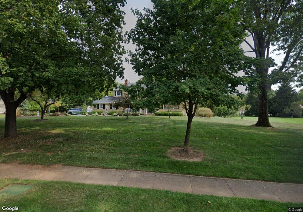
12 Jeffrey Ln Bridgewater, NJ 08807
Estimated Value: $884,000 - $1,019,000
--
Bed
--
Bath
2,902
Sq Ft
$331/Sq Ft
Est. Value
About This Home
This home is located at 12 Jeffrey Ln, Bridgewater, NJ 08807 and is currently estimated at $961,325, approximately $331 per square foot. 12 Jeffrey Ln is a home located in Somerset County with nearby schools including Crim Primary School, Hillside Intermediate School, and Bridgewater-Raritan Middle School.
Ownership History
Date
Name
Owned For
Owner Type
Purchase Details
Closed on
Jul 30, 2018
Sold by
Bernius Nancy
Bought by
Bernius Charles A and Bernius Nancy
Current Estimated Value
Purchase Details
Closed on
Aug 17, 1994
Sold by
Hynds John
Bought by
Bernius Charles and Bernius Nancy
Home Financials for this Owner
Home Financials are based on the most recent Mortgage that was taken out on this home.
Original Mortgage
$150,000
Interest Rate
8.61%
Create a Home Valuation Report for This Property
The Home Valuation Report is an in-depth analysis detailing your home's value as well as a comparison with similar homes in the area
Home Values in the Area
Average Home Value in this Area
Purchase History
| Date | Buyer | Sale Price | Title Company |
|---|---|---|---|
| Bernius Charles A | -- | None Available | |
| Bernius Charles | $304,000 | -- |
Source: Public Records
Mortgage History
| Date | Status | Borrower | Loan Amount |
|---|---|---|---|
| Closed | Bernius Charles | $150,000 |
Source: Public Records
Tax History Compared to Growth
Tax History
| Year | Tax Paid | Tax Assessment Tax Assessment Total Assessment is a certain percentage of the fair market value that is determined by local assessors to be the total taxable value of land and additions on the property. | Land | Improvement |
|---|---|---|---|---|
| 2025 | $15,101 | $800,300 | $370,400 | $429,900 |
| 2024 | $15,101 | $775,200 | $370,400 | $404,800 |
| 2023 | $14,277 | $719,600 | $370,400 | $349,200 |
| 2022 | $13,848 | $671,600 | $370,400 | $301,200 |
| 2021 | $13,428 | $654,300 | $370,400 | $283,900 |
| 2020 | $13,680 | $650,500 | $370,400 | $280,100 |
| 2019 | $13,428 | $632,500 | $370,400 | $262,100 |
| 2018 | $13,280 | $627,000 | $370,400 | $256,600 |
| 2017 | $13,216 | $623,400 | $370,400 | $253,000 |
| 2016 | $12,996 | $622,400 | $370,400 | $252,000 |
| 2015 | $12,954 | $620,700 | $370,400 | $250,300 |
| 2014 | $12,661 | $597,500 | $370,400 | $227,100 |
Source: Public Records
Map
Nearby Homes
- 7 Meyers Way
- 1266 Mount Vernon Rd
- 1600 Mountain Top Rd
- 34 Solomon Dr
- 1930 Mountain Top Rd
- 1831 Washington Valley Rd
- 1 Wishnow Way
- 114 Branch Rd
- 800 Star View Way
- 1825 Kennesaw Way
- 10 Assante Ln
- 1869 Washington Valley Rd
- 6 Hardwood Ct
- 35 Primrose Ln
- 5 2nd St
- 61 Stella Dr
- 1899 Washington Valley Rd
- 6 Mount Horeb Rd
- 20 Copper Hill Rd
- 27 Elm Ave