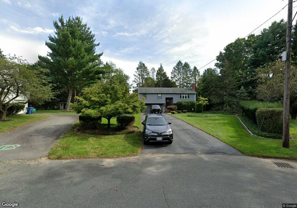
12 Jeffrey Rd Canton, MA 02021
Estimated Value: $731,208 - $803,000
3
Beds
3
Baths
1,472
Sq Ft
$516/Sq Ft
Est. Value
About This Home
This home is located at 12 Jeffrey Rd, Canton, MA 02021 and is currently estimated at $760,052, approximately $516 per square foot. 12 Jeffrey Rd is a home located in Norfolk County with nearby schools including Canton High School and St. John the Evangelist School.
Ownership History
Date
Name
Owned For
Owner Type
Purchase Details
Closed on
Apr 10, 2025
Sold by
Smith Barry E and Smith Christine A
Bought by
Smith Robert B and Smith Samantha G
Current Estimated Value
Purchase Details
Closed on
May 3, 1989
Sold by
Hill Honora M
Bought by
Smith Barry E
Home Financials for this Owner
Home Financials are based on the most recent Mortgage that was taken out on this home.
Original Mortgage
$130,000
Interest Rate
11.13%
Mortgage Type
Purchase Money Mortgage
Create a Home Valuation Report for This Property
The Home Valuation Report is an in-depth analysis detailing your home's value as well as a comparison with similar homes in the area
Home Values in the Area
Average Home Value in this Area
Purchase History
| Date | Buyer | Sale Price | Title Company |
|---|---|---|---|
| Smith Robert B | -- | None Available | |
| Smith Robert B | -- | None Available | |
| Smith Barry E | $145,000 | -- |
Source: Public Records
Mortgage History
| Date | Status | Borrower | Loan Amount |
|---|---|---|---|
| Previous Owner | Smith Barry E | $122,000 | |
| Previous Owner | Smith Barry E | $123,000 | |
| Previous Owner | Smith Barry E | $130,000 |
Source: Public Records
Tax History
| Year | Tax Paid | Tax Assessment Tax Assessment Total Assessment is a certain percentage of the fair market value that is determined by local assessors to be the total taxable value of land and additions on the property. | Land | Improvement |
|---|---|---|---|---|
| 2025 | $5,766 | $583,000 | $331,400 | $251,600 |
| 2024 | $5,880 | $589,800 | $347,700 | $242,100 |
| 2023 | $5,932 | $561,200 | $347,700 | $213,500 |
| 2022 | $5,726 | $504,500 | $331,100 | $173,400 |
| 2021 | $5,318 | $435,900 | $275,900 | $160,000 |
| 2020 | $5,111 | $417,900 | $262,800 | $155,100 |
| 2019 | $4,789 | $386,200 | $238,800 | $147,400 |
| 2018 | $4,669 | $375,900 | $229,700 | $146,200 |
| 2017 | $4,716 | $368,700 | $225,200 | $143,500 |
| 2016 | $4,626 | $361,700 | $219,700 | $142,000 |
| 2015 | $4,487 | $350,000 | $213,300 | $136,700 |
Source: Public Records
Map
Nearby Homes
- 859 Pleasant St
- 23 Pine St Unit K
- 19 Pine St Unit K
- 60 Coppersmith Way Unit 304
- 630 Pleasant St
- 611 Pleasant St
- 37 Will Dr Unit 12
- 42 Will Dr Unit 49
- 16 Meadowood Dr
- 5 Trudy Terrace
- 20 Sapphire Cir Unit Lot 2
- 27 Rosewood Dr
- 55 Rosewood Dr
- 468 Island St Unit 468
- 64 Laurelwood Dr
- 85 Rosewood Dr Unit 28-1
- 34 Rosewood Dr Unit 34
- 4 Forge Pond Unit D
- 24 Forge Pond Unit H
- 20 Audubon Way Unit 205
- 10 Jeffrey Rd
- 14 Jeffrey Rd
- 8 Lincolnshire Dr
- 6 Lincolnshire Dr
- 866 Pleasant St
- 10 Lincolnshire Dr
- 8 Jeffrey Rd
- 17 Jeffrey Rd
- 4 Lincolnshire Dr
- 4 Jeffrey Rd
- 15 Jeffrey Rd
- 858 Pleasant St
- 11 Jeffrey Rd
- 860 Pleasant St
- 12 Lincolnshire Dr
- 854 Pleasant St
- 862 Pleasant St
- 9 Jeffrey Rd
- 7 Lincolnshire Dr
- 9 Lincolnshire Dr
Your Personal Tour Guide
Ask me questions while you tour the home.