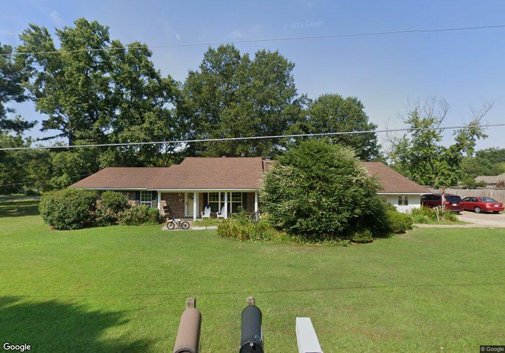
12 Jetta Cir Conway, AR 72032
Estimated Value: $291,000 - $364,022
Studio
2
Baths
2,728
Sq Ft
$116/Sq Ft
Est. Value
About This Home
This home is located at 12 Jetta Cir, Conway, AR 72032 and is currently estimated at $315,506, approximately $115 per square foot. 12 Jetta Cir is a home located in Faulkner County with nearby schools including Preston & Florence Mattison Elementary School, Bob Courtway Middle School, and Conway Junior High School.
Ownership History
Date
Name
Owned For
Owner Type
Purchase Details
Closed on
May 31, 2022
Sold by
Crockett Jerry L and Crockett Carol L
Bought by
Crockett John W and Crockett Grace
Current Estimated Value
Home Financials for this Owner
Home Financials are based on the most recent Mortgage that was taken out on this home.
Original Mortgage
$200,000
Outstanding Balance
$187,692
Interest Rate
4%
Mortgage Type
New Conventional
Estimated Equity
$127,814
Purchase Details
Closed on
Apr 15, 2011
Sold by
H I S Advertising Inc
Bought by
Ashby Street Outdoor Llc
Purchase Details
Closed on
Oct 5, 1995
Bought by
Crockett
Purchase Details
Closed on
Oct 16, 1992
Bought by
Whitlock
Purchase Details
Closed on
Nov 23, 1988
Bought by
Nobles
Create a Home Valuation Report for This Property
The Home Valuation Report is an in-depth analysis detailing your home's value as well as a comparison with similar homes in the area
Home Values in the Area
Average Home Value in this Area
Purchase History
| Date | Buyer | Sale Price | Title Company |
|---|---|---|---|
| Crockett John W | $350,000 | Lenders Title Company | |
| Ashby Street Outdoor Llc | $1,000 | -- | |
| Ashby Street Outdoor Llc | $1,000 | -- | |
| Crockett | $85,000 | -- | |
| Whitlock | $66,000 | -- | |
| Nobles | $59,000 | -- |
Source: Public Records
Mortgage History
| Date | Status | Borrower | Loan Amount |
|---|---|---|---|
| Open | Crockett John W | $200,000 |
Source: Public Records
Tax History
| Year | Tax Paid | Tax Assessment Tax Assessment Total Assessment is a certain percentage of the fair market value that is determined by local assessors to be the total taxable value of land and additions on the property. | Land | Improvement |
|---|---|---|---|---|
| 2025 | $2,187 | $54,180 | $3,600 | $50,580 |
| 2024 | $2,005 | $54,180 | $3,600 | $50,580 |
| 2023 | $1,823 | $39,280 | $3,600 | $35,680 |
| 2022 | $1,338 | $39,280 | $3,600 | $35,680 |
| 2021 | $1,248 | $39,280 | $3,600 | $35,680 |
| 2020 | $1,172 | $32,590 | $2,810 | $29,780 |
| 2019 | $1,172 | $32,590 | $2,810 | $29,780 |
| 2018 | $1,197 | $32,590 | $2,810 | $29,780 |
| 2017 | $1,154 | $32,590 | $2,810 | $29,780 |
| 2016 | $1,088 | $30,230 | $2,810 | $27,420 |
| 2015 | $1,283 | $29,550 | $2,810 | $26,740 |
| 2014 | $968 | $29,550 | $2,810 | $26,740 |
Source: Public Records
Map
Nearby Homes
- 00 Caskay Dr
- 30 Hazelwood Rd
- 1012 Woodside Dr
- 82 Addi Ln
- 7 Ginger Dr
- 24 Lots Hays Add
- 2365 E Oak St
- 000 E German Ln
- 425 Cheyenne Ln
- 2415 E Oak St
- 1906 Arrowhead Ln
- 60 Sandpiper Ct
- 10 Starr Ln
- 2485 E Oak St
- 1810 Angeline Dr
- 440 Bernard Dr
- 1550 Gold Falls
- 9 Olivia Ln
- 1510 Silver Falls
- 278-I U S Highway 64