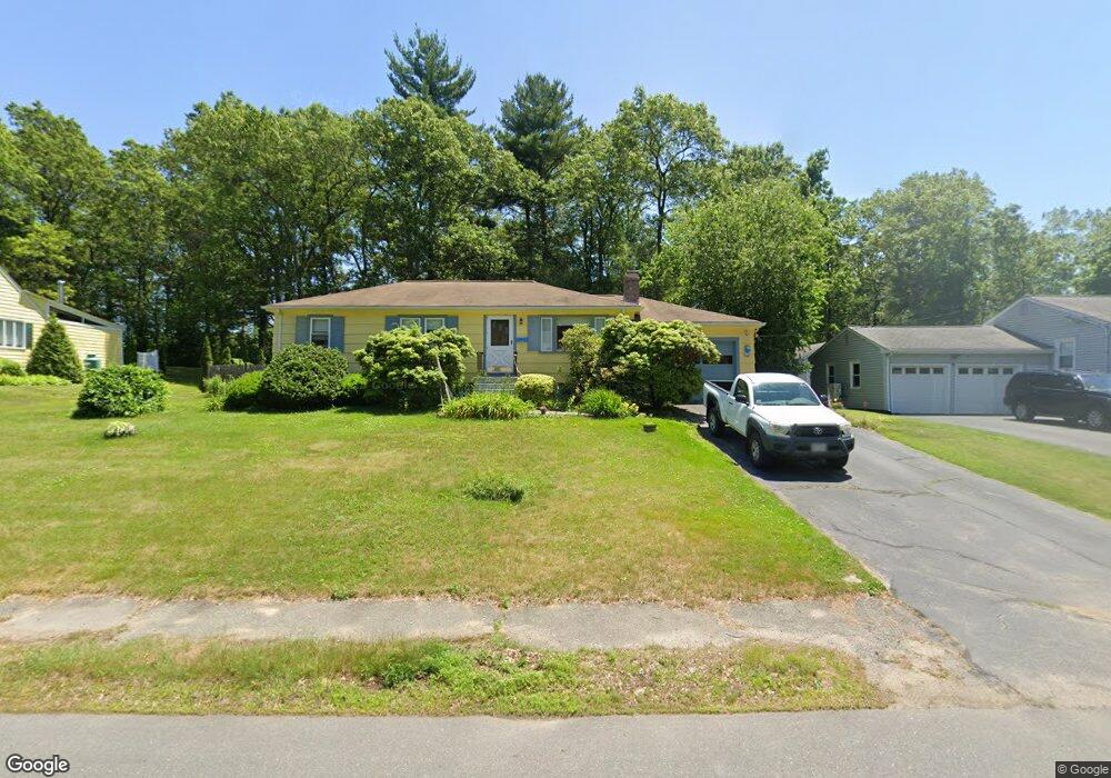
12 Joal Ave Walpole, MA 02081
Estimated Value: $582,000 - $639,000
3
Beds
2
Baths
1,008
Sq Ft
$602/Sq Ft
Est. Value
About This Home
This home is located at 12 Joal Ave, Walpole, MA 02081 and is currently estimated at $606,595, approximately $601 per square foot. 12 Joal Ave is a home located in Norfolk County with nearby schools including Elm Street School, Eleanor N. Johnson Middle School, and Walpole High School.
Create a Home Valuation Report for This Property
The Home Valuation Report is an in-depth analysis detailing your home's value as well as a comparison with similar homes in the area
Home Values in the Area
Average Home Value in this Area
Tax History
| Year | Tax Paid | Tax Assessment Tax Assessment Total Assessment is a certain percentage of the fair market value that is determined by local assessors to be the total taxable value of land and additions on the property. | Land | Improvement |
|---|---|---|---|---|
| 2025 | $7,033 | $548,200 | $352,200 | $196,000 |
| 2024 | $6,824 | $516,200 | $338,600 | $177,600 |
| 2023 | $6,594 | $474,700 | $294,500 | $180,200 |
| 2022 | $6,260 | $432,900 | $272,700 | $160,200 |
| 2021 | $5,911 | $398,300 | $257,300 | $141,000 |
| 2020 | $5,875 | $391,900 | $242,700 | $149,200 |
| 2019 | $5,700 | $377,500 | $233,400 | $144,100 |
| 2018 | $5,242 | $343,300 | $225,100 | $118,200 |
| 2017 | $5,079 | $331,300 | $216,500 | $114,800 |
| 2016 | $5,009 | $321,900 | $208,200 | $113,700 |
| 2015 | $4,864 | $309,800 | $198,300 | $111,500 |
| 2014 | $4,690 | $297,600 | $198,300 | $99,300 |
Source: Public Records
Map
Nearby Homes
- 56 North St
- 19 and 23 Arlington Ln
- 291 Plimpton St
- 881 Main St Unit 9
- 260 Elm St
- 241 Fisher St
- 26 Dover Dr
- 222 School St Unit 9
- 224 School St Unit 9
- 8 Mckinley Ave
- 1110 Main St
- 50 Riverside Place
- 115 High St
- 1 Merganser Way
- 486 Washington St
- 145 South St Unit 5
- 363 - 367 Washington St
- 111 Elm St
- 38 Garden Pkwy
- 31 Sandtrap Cir Unit 500
Your Personal Tour Guide
Ask me questions while you tour the home.