12 Johnson Way Bridgton, ME 04009
Estimated Value: $341,381 - $478,000
--
Bed
--
Bath
1,176
Sq Ft
$348/Sq Ft
Est. Value
About This Home
This home is located at 12 Johnson Way, Bridgton, ME 04009 and is currently estimated at $409,095, approximately $347 per square foot. 12 Johnson Way is a home with nearby schools including Lake Region High School.
Ownership History
Date
Name
Owned For
Owner Type
Purchase Details
Closed on
Jan 31, 2023
Sold by
Green Kimberly M
Bought by
Green Kimberly M
Current Estimated Value
Purchase Details
Closed on
Sep 21, 2020
Sold by
Green Kimberly M and Johnson Lee B
Bought by
Green Kimberly M
Home Financials for this Owner
Home Financials are based on the most recent Mortgage that was taken out on this home.
Original Mortgage
$153,000
Interest Rate
2.9%
Mortgage Type
New Conventional
Create a Home Valuation Report for This Property
The Home Valuation Report is an in-depth analysis detailing your home's value as well as a comparison with similar homes in the area
Home Values in the Area
Average Home Value in this Area
Purchase History
| Date | Buyer | Sale Price | Title Company |
|---|---|---|---|
| Green Kimberly M | -- | None Available | |
| Green Kimberly M | -- | None Available | |
| Green Kimberly M | -- | None Available | |
| Green Kimberly M | -- | None Available | |
| Green Kimberly M | -- | None Available | |
| Green Kimberly M | -- | None Available |
Source: Public Records
Mortgage History
| Date | Status | Borrower | Loan Amount |
|---|---|---|---|
| Previous Owner | Green Kimberly M | $153,000 |
Source: Public Records
Tax History Compared to Growth
Tax History
| Year | Tax Paid | Tax Assessment Tax Assessment Total Assessment is a certain percentage of the fair market value that is determined by local assessors to be the total taxable value of land and additions on the property. | Land | Improvement |
|---|---|---|---|---|
| 2024 | $3,709 | $217,564 | $44,550 | $173,014 |
| 2023 | $2,013 | $117,040 | $52,550 | $64,490 |
| 2022 | $1,692 | $111,341 | $52,142 | $59,199 |
| 2021 | $1,648 | $111,341 | $52,142 | $59,199 |
| 2020 | $1,665 | $111,341 | $52,142 | $59,199 |
| 2019 | $1,670 | $111,341 | $52,142 | $59,199 |
| 2018 | $1,648 | $111,341 | $52,142 | $59,199 |
| 2017 | $1,704 | $111,341 | $52,142 | $59,199 |
| 2016 | -- | $111,341 | $52,142 | $59,199 |
| 2015 | -- | $139,966 | $64,440 | $75,526 |
| 2014 | $1,968 | $139,966 | $64,440 | $75,526 |
Source: Public Records
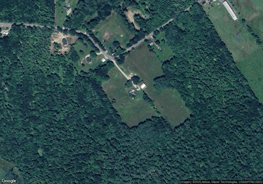
Map
Nearby Homes
- 86 Beaver Creek Farm Rd
- 2 Kindred Ln
- 12 Starlight Dr
- 6 Laurik Ln
- 4 Laurik Ln
- 64-74 Portland Rd
- 323 Portland Rd
- 224 Ledges S
- 11 Camp Loop Ln
- Lot 8 Camp Loop Rd
- Lot 3 Camp Woodlands Rd
- Lot 1 Camp Woodlands Rd
- Lot 7 Camp Loop Rd
- Lot 3 Wildwood Rd
- 0 Chaplin Mills Rd Unit 1618159
- 98 Walter Hill Rd
- 364 Kansas Rd
- Lot 23 - D Smally Way
- Lot 23 G Smally Way
- 29 Antler Ct Unit 29
- 219 Burnham Rd
- 218 Burnham Rd
- 11 Johnson Way
- 249 Burnham Rd
- 216 Burnham Rd
- Lot B Burnham Rd
- Lot A Burnham Rd
- Lot C Burnham Rd
- 000 Burnham Rd
- 204 Burnham Rd
- 248 Burnham Rd
- 0 Burnham Rd Unit 755383
- 0 Burnham Rd Unit 638499
- 0 Burnham Rd Unit 253755
- 0 Burnham Rd Unit 709716
- 0 Burnham Rd Unit 461567
- 0 Burnham Rd Unit 111850
- 0 Burnham Rd Unit 851766
- 0 Burnham Rd Unit 559527
- 0 Burnham Rd Unit 1513340