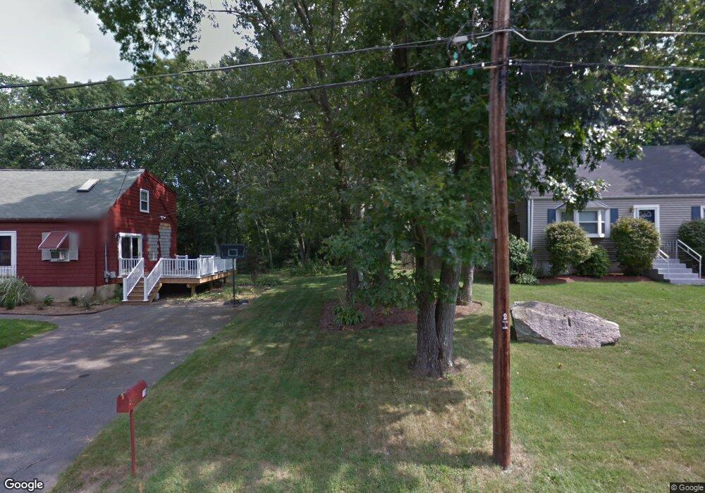
12 Judy Ln Mansfield, MA 02048
Estimated Value: $644,000 - $689,000
3
Beds
2
Baths
1,776
Sq Ft
$372/Sq Ft
Est. Value
About This Home
This home is located at 12 Judy Ln, Mansfield, MA 02048 and is currently estimated at $660,101, approximately $371 per square foot. 12 Judy Ln is a home located in Bristol County with nearby schools including Everett W. Robinson Elementary School, Jordan/Jackson Elementary School, and Harold L. Qualters Middle School.
Ownership History
Date
Name
Owned For
Owner Type
Purchase Details
Closed on
May 20, 1994
Sold by
Moores David A and Moores Tara Jf
Bought by
Mccabe Michael J and Mccabe Karen
Current Estimated Value
Home Financials for this Owner
Home Financials are based on the most recent Mortgage that was taken out on this home.
Original Mortgage
$109,000
Interest Rate
8.44%
Mortgage Type
Purchase Money Mortgage
Create a Home Valuation Report for This Property
The Home Valuation Report is an in-depth analysis detailing your home's value as well as a comparison with similar homes in the area
Home Values in the Area
Average Home Value in this Area
Purchase History
| Date | Buyer | Sale Price | Title Company |
|---|---|---|---|
| Mccabe Michael J | $127,500 | -- |
Source: Public Records
Mortgage History
| Date | Status | Borrower | Loan Amount |
|---|---|---|---|
| Open | Mccabe Michael J | $20,000 | |
| Open | Mccabe Michael J | $106,000 | |
| Closed | Mccabe Michael J | $109,000 | |
| Previous Owner | Mccabe Michael J | $106,200 |
Source: Public Records
Tax History Compared to Growth
Tax History
| Year | Tax Paid | Tax Assessment Tax Assessment Total Assessment is a certain percentage of the fair market value that is determined by local assessors to be the total taxable value of land and additions on the property. | Land | Improvement |
|---|---|---|---|---|
| 2025 | $7,151 | $543,000 | $251,500 | $291,500 |
| 2024 | $6,838 | $506,500 | $240,100 | $266,400 |
| 2023 | $6,658 | $472,500 | $240,100 | $232,400 |
| 2022 | $6,432 | $424,000 | $222,300 | $201,700 |
| 2021 | $13,781 | $415,400 | $211,700 | $203,700 |
| 2020 | $3,840 | $383,500 | $185,200 | $198,300 |
| 2019 | $5,730 | $376,500 | $176,400 | $200,100 |
| 2018 | $5,678 | $364,700 | $168,200 | $196,500 |
| 2017 | $5,322 | $354,300 | $163,300 | $191,000 |
| 2016 | $5,118 | $332,100 | $155,600 | $176,500 |
| 2015 | $5,008 | $323,100 | $155,600 | $167,500 |
Source: Public Records
Map
Nearby Homes
- 245 Willow St
- 12 Wilson Place
- 21 East St Unit 1D
- 16 East St Unit 2
- 15 Reservoir St Unit 44
- 18 Columbine Rd
- 24 Barberry Rd
- 460 Ware St
- 28 Court St
- 28 Court St Unit 4
- 38 Court St
- 442 Ware St
- 72 Court St Unit B
- 250 Mansfield Ave Unit 66
- 76 Samoset Ave
- 150 Rumford Ave Unit 222
- 241-243 N Main St
- 711 Ware St
- 450 West St
- 1125 School St