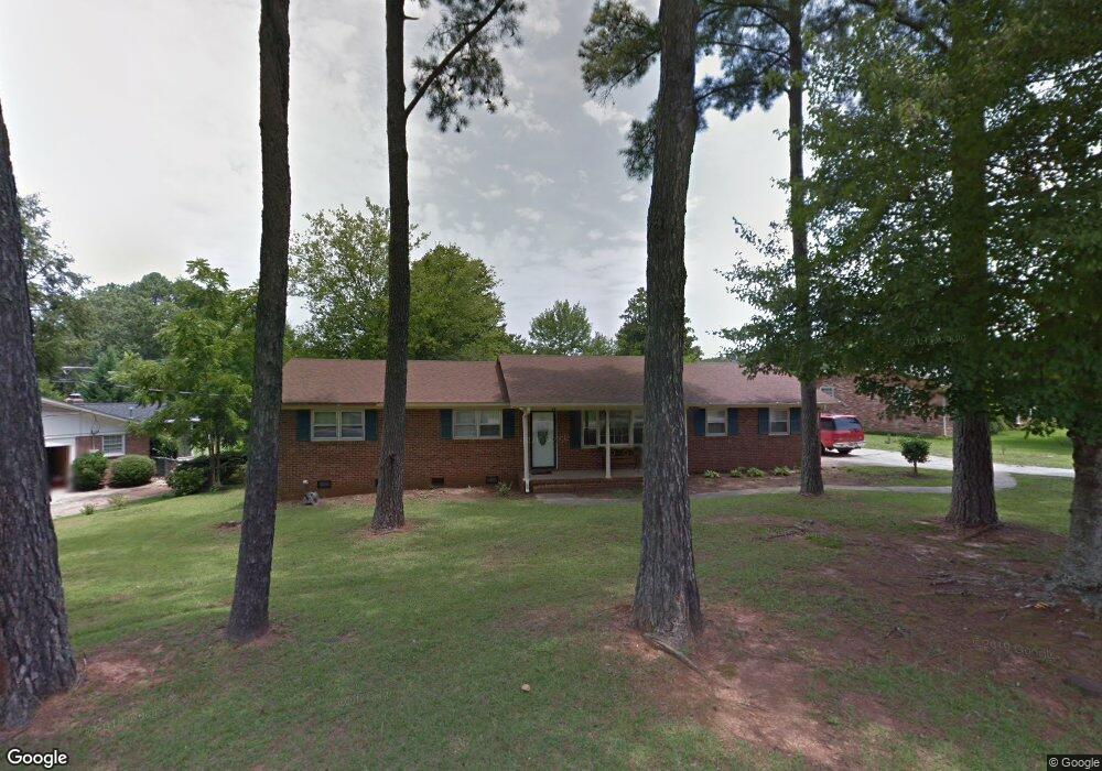
12 Konnarock Cir Greenville, SC 29617
Estimated Value: $284,000 - $316,360
3
Beds
2
Baths
1,932
Sq Ft
$153/Sq Ft
Est. Value
About This Home
This home is located at 12 Konnarock Cir, Greenville, SC 29617 and is currently estimated at $295,090, approximately $152 per square foot. 12 Konnarock Cir is a home located in Greenville County with nearby schools including Armstrong Elementary School, Berea Middle School, and Travelers Rest High School.
Ownership History
Date
Name
Owned For
Owner Type
Purchase Details
Closed on
Dec 14, 2006
Sold by
Rose Melissa
Bought by
Jones Sheblea D
Current Estimated Value
Home Financials for this Owner
Home Financials are based on the most recent Mortgage that was taken out on this home.
Original Mortgage
$111,550
Outstanding Balance
$66,619
Interest Rate
6.29%
Mortgage Type
Purchase Money Mortgage
Estimated Equity
$228,471
Purchase Details
Closed on
Mar 29, 2004
Sold by
Palmer Katherine Ellyson
Bought by
Rose Melissa
Create a Home Valuation Report for This Property
The Home Valuation Report is an in-depth analysis detailing your home's value as well as a comparison with similar homes in the area
Home Values in the Area
Average Home Value in this Area
Purchase History
| Date | Buyer | Sale Price | Title Company |
|---|---|---|---|
| Jones Sheblea D | $115,000 | None Available | |
| Rose Melissa | $97,300 | -- |
Source: Public Records
Mortgage History
| Date | Status | Borrower | Loan Amount |
|---|---|---|---|
| Open | Jones Sheblea D | $111,550 |
Source: Public Records
Tax History Compared to Growth
Tax History
| Year | Tax Paid | Tax Assessment Tax Assessment Total Assessment is a certain percentage of the fair market value that is determined by local assessors to be the total taxable value of land and additions on the property. | Land | Improvement |
|---|---|---|---|---|
| 2024 | $1,379 | $5,260 | $970 | $4,290 |
| 2023 | $1,379 | $5,260 | $970 | $4,290 |
| 2022 | $1,310 | $5,260 | $970 | $4,290 |
| 2021 | $1,288 | $5,260 | $970 | $4,290 |
| 2020 | $1,281 | $4,570 | $840 | $3,730 |
| 2019 | $1,268 | $4,570 | $840 | $3,730 |
| 2018 | $1,192 | $4,570 | $840 | $3,730 |
| 2017 | $1,194 | $4,570 | $840 | $3,730 |
| 2016 | $1,148 | $114,300 | $21,000 | $93,300 |
| 2015 | $1,141 | $114,300 | $21,000 | $93,300 |
| 2014 | $1,229 | $126,980 | $21,000 | $105,980 |
Source: Public Records
Map
Nearby Homes
- 00 Richmond Dr
- 54 Palladio Dr
- 208 Carilion Ln
- 119 Landry Ln
- 507 Palladio Dr
- 130 High Hat Cir Unit 130
- 2601 Duncan Chapel Rd Unit C301
- 2601 Duncan Chapel Rd Unit A-302
- 2601 Duncan Chapel Rd Unit G301
- 2601 Duncan Chapel Rd Unit A-301
- 12 Montague Cir
- 213 Waltham Ct
- 214 Waltham Ct
- 204 Waltham Ct
- 709 Rockcliff St
- 8 Thorndike Way
- 711 Rockcliff St
- 209 Waltham Ct
- 331 Kensley Dr
- 19 Thorndike Way
- 16 Konnarock Cir
- 8 Konnarock Cir
- 9 Sylvatus Ct
- 11 Konnarock Cir
- 18 Konnarock Cir
- 4 Konnarock Cir
- 7 Konnarock Cir
- 9 Konnarock Cir
- 7 Sylvatus Ct
- 5 Konnarock Cir
- 15 Konnarock Cir
- 13 Konnarock Cir
- 20 Konnarock Cir
- 12 Sylvatus Ct
- 3 Konnarock Cir
- 2 Konnarock Cir
- 115 Richmond Dr
- 19 Konnarock Cir
- 1 Konnarock Cir
- 10 Sylvatus Ct