12 Lake Camp Parsonsfield, ME 04047
Estimated Value: $254,000 - $294,952
3
Beds
1
Bath
1,408
Sq Ft
$195/Sq Ft
Est. Value
About This Home
This home is located at 12 Lake Camp, Parsonsfield, ME 04047 and is currently estimated at $274,476, approximately $194 per square foot. 12 Lake Camp is a home located in York County.
Ownership History
Date
Name
Owned For
Owner Type
Purchase Details
Closed on
Mar 11, 2022
Sold by
Swanson Eric W and Swanson Beth S
Bought by
Hall Diann and Hall James
Current Estimated Value
Home Financials for this Owner
Home Financials are based on the most recent Mortgage that was taken out on this home.
Original Mortgage
$183,800
Outstanding Balance
$171,111
Interest Rate
3.92%
Mortgage Type
Purchase Money Mortgage
Estimated Equity
$103,365
Create a Home Valuation Report for This Property
The Home Valuation Report is an in-depth analysis detailing your home's value as well as a comparison with similar homes in the area
Home Values in the Area
Average Home Value in this Area
Purchase History
| Date | Buyer | Sale Price | Title Company |
|---|---|---|---|
| Hall Diann | -- | None Available | |
| Hall Diann | -- | None Available | |
| Hall Diann | -- | None Available | |
| Hall Diann | -- | None Available | |
| Hall Diann | -- | None Available | |
| Hall Diann | -- | None Available |
Source: Public Records
Mortgage History
| Date | Status | Borrower | Loan Amount |
|---|---|---|---|
| Open | Hall Diann | $183,800 | |
| Closed | Hall Diann | $183,800 |
Source: Public Records
Tax History Compared to Growth
Tax History
| Year | Tax Paid | Tax Assessment Tax Assessment Total Assessment is a certain percentage of the fair market value that is determined by local assessors to be the total taxable value of land and additions on the property. | Land | Improvement |
|---|---|---|---|---|
| 2024 | $1,842 | $109,616 | $65,750 | $43,866 |
| 2023 | $1,776 | $109,616 | $65,750 | $43,866 |
| 2022 | $1,699 | $109,616 | $65,750 | $43,866 |
| 2021 | $1,694 | $109,616 | $65,750 | $43,866 |
| 2020 | $1,661 | $109,616 | $65,750 | $43,866 |
| 2019 | $1,633 | $109,616 | $65,750 | $43,866 |
| 2017 | $1,633 | $109,616 | $65,750 | $43,866 |
| 2016 | $1,633 | $109,616 | $65,750 | $43,866 |
| 2015 | $1,644 | $109,616 | $65,750 | $43,866 |
| 2013 | $1,600 | $109,616 | $65,750 | $43,866 |
Source: Public Records
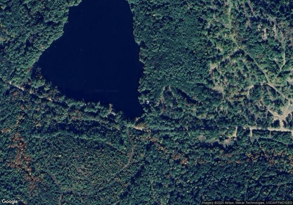
Map
Nearby Homes
- 424 Maplecrest Rd
- 27 Lynn Dr
- 27 Nocturne Rd
- 178 Maplecrest Rd
- 511 South Rd
- 9 Penny Ln
- Lot 5 Fenderson Rd
- Lot 1 Moulton Hill Rd
- R13/038 Weeks Rd
- 154 Staples Rd
- Lot #00 North Rd
- Lot# 01 North Rd
- Lot #02 North Rd
- 570 Maplewood Rd
- 760 Mountain Rd
- 243 Sokokis Trail N
- 80 Kelley Ln
- 0 Stone Hill Rd
- 264 Watson Hill Rd
- 20 Hollyhock Farm Ln
- 12 Lake Camp Rd
- 183 Randall Lake Rd
- 00 Randall Lake Rd
- 193 Randall Lake Rd
- 138 Randall Lake Rd
- 0 Randall Lake Rd
- 203 Randall Lake Rd
- 122 Randall Lake Rd
- 211 Randall Lake Rd
- 221 Randall Lake Rd
- 142 Heath Brook Rd
- 138 Heath Brook Rd
- 61 Randall Lake Rd
- 67 Randall Lake Rd
- 630 Maplecrest Rd
- 616 Maplecrest Rd
- 483 Cramm Rd
- 483 Cramm Rd
- 497 Cramm Rd
- 474 Cramm Rd