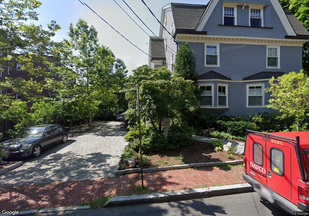
12 Lancaster St Unit 12 Cambridge, MA 02140
Neighborhood Nine NeighborhoodEstimated Value: $1,726,000 - $1,927,060
3
Beds
4
Baths
2,034
Sq Ft
$906/Sq Ft
Est. Value
About This Home
This home is located at 12 Lancaster St Unit 12, Cambridge, MA 02140 and is currently estimated at $1,842,353, approximately $905 per square foot. 12 Lancaster St Unit 12 is a home located in Middlesex County with nearby schools including Saint Theresa School, Cambridge Montessori School, and Wild Rose Montessori School.
Ownership History
Date
Name
Owned For
Owner Type
Purchase Details
Closed on
Dec 22, 2008
Sold by
Kennedy John R
Bought by
12 Lancaster Street Rt and Uddo Eleanor M
Current Estimated Value
Home Financials for this Owner
Home Financials are based on the most recent Mortgage that was taken out on this home.
Original Mortgage
$750,000
Outstanding Balance
$498,939
Interest Rate
6.27%
Mortgage Type
Purchase Money Mortgage
Estimated Equity
$1,343,414
Create a Home Valuation Report for This Property
The Home Valuation Report is an in-depth analysis detailing your home's value as well as a comparison with similar homes in the area
Home Values in the Area
Average Home Value in this Area
Purchase History
| Date | Buyer | Sale Price | Title Company |
|---|---|---|---|
| 12 Lancaster Street Rt | $1,290,000 | -- |
Source: Public Records
Mortgage History
| Date | Status | Borrower | Loan Amount |
|---|---|---|---|
| Open | 12 Lancaster Street Rt | $750,000 |
Source: Public Records
Tax History
| Year | Tax Paid | Tax Assessment Tax Assessment Total Assessment is a certain percentage of the fair market value that is determined by local assessors to be the total taxable value of land and additions on the property. | Land | Improvement |
|---|---|---|---|---|
| 2025 | $13,713 | $2,159,600 | $0 | $2,159,600 |
| 2024 | $12,438 | $2,101,000 | $0 | $2,101,000 |
| 2023 | $12,143 | $2,072,100 | $0 | $2,072,100 |
| 2022 | $11,824 | $1,997,300 | $0 | $1,997,300 |
| 2021 | $11,421 | $1,952,300 | $0 | $1,952,300 |
| 2020 | $10,845 | $1,886,100 | $0 | $1,886,100 |
| 2019 | $10,418 | $1,753,900 | $0 | $1,753,900 |
| 2018 | $8,244 | $1,614,300 | $0 | $1,614,300 |
| 2017 | $9,962 | $1,534,900 | $0 | $1,534,900 |
| 2016 | $9,668 | $1,383,100 | $0 | $1,383,100 |
| 2015 | $9,609 | $1,228,800 | $0 | $1,228,800 |
| 2014 | $9,505 | $1,134,300 | $0 | $1,134,300 |
Source: Public Records
Map
Nearby Homes
- 3 Arlington St Unit 44
- 6 Washington Ave Unit 11
- 41 Bowdoin St Unit 33
- 46 Mount Vernon St Unit 1
- 18 Upland Rd Unit 1
- 11 Wright St Unit 1
- 43 Linnaean St Unit 1
- 2 Avon St Unit 6
- 334 Beacon St Unit B
- 24 Cambridge Terrace Unit 2
- 20 Mossland St
- 72 Oxford St Unit 72
- 72 Oxford St
- 74 Oxford St
- 74 Oxford St Unit 3
- 32-40 White St
- 40 Mount Pleasant St Unit 4
- 57 Gorham St Unit 1
- 309 Beacon St
- 8 Craigie St
- 16 Lancaster St Unit 2
- 16 Lancaster St Unit 1
- 16 Lancaster St Unit 3
- 12 Lancaster St
- 16 Lancaster St
- 16 Lancaster St Unit 16-3
- 16 Lancaster St Unit 16-2
- 16 Lancaster St Unit 16-1
- 14 Lancaster St Unit 16
- 14 Lancaster St
- 14 Lancaster St Unit 12
- 12 Humboldt St
- 12 Humboldt St Unit B
- 12 Humboldt St Unit 3
- 10 Humboldt St Unit 1
- 10 Humboldt St Unit 2
- 10 Humboldt St
- 8 Humboldt St Unit 3
- 18 Lancaster St Unit D
- 18 Lancaster St Unit C
Your Personal Tour Guide
Ask me questions while you tour the home.