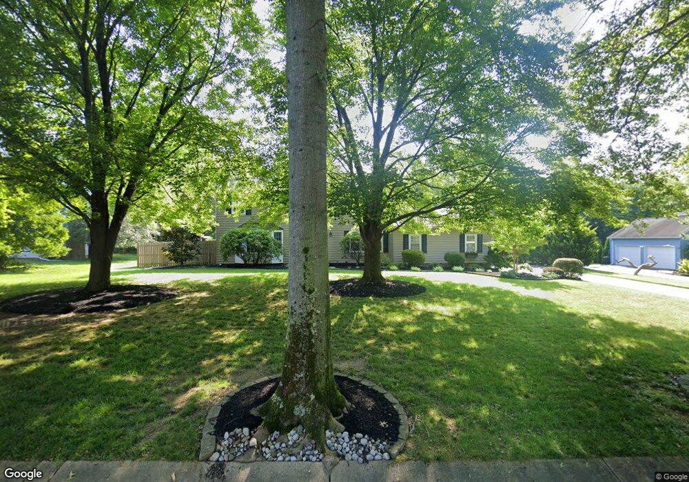
12 Landing Ln Princeton Junction, NJ 08550
Estimated Value: $1,060,000 - $1,197,028
--
Bed
--
Bath
2,655
Sq Ft
$437/Sq Ft
Est. Value
About This Home
This home is located at 12 Landing Ln, Princeton Junction, NJ 08550 and is currently estimated at $1,159,257, approximately $436 per square foot. 12 Landing Ln is a home located in Mercer County with nearby schools including Maurice Hawk Elementary School, Millstone River School, and Thomas R. Grover Middle School.
Ownership History
Date
Name
Owned For
Owner Type
Purchase Details
Closed on
Oct 25, 2022
Sold by
Miller Adam R and Miller Susan M
Bought by
Segal Christopher Edwin and Fomadel Christen Marie
Current Estimated Value
Home Financials for this Owner
Home Financials are based on the most recent Mortgage that was taken out on this home.
Original Mortgage
$735,000
Interest Rate
6.94%
Mortgage Type
New Conventional
Purchase Details
Closed on
Jul 10, 2006
Sold by
Anson Sam
Bought by
Miller Adam and Miller Susan
Home Financials for this Owner
Home Financials are based on the most recent Mortgage that was taken out on this home.
Original Mortgage
$480,000
Interest Rate
6.71%
Purchase Details
Closed on
Jun 30, 1988
Sold by
Ansonest Of Sam Iii B Et Al
Bought by
Anson Sam B
Create a Home Valuation Report for This Property
The Home Valuation Report is an in-depth analysis detailing your home's value as well as a comparison with similar homes in the area
Home Values in the Area
Average Home Value in this Area
Purchase History
| Date | Buyer | Sale Price | Title Company |
|---|---|---|---|
| Segal Christopher Edwin | $980,000 | -- | |
| Segal Christopher Edwin | $980,000 | None Listed On Document | |
| Miller Adam | $600,000 | -- | |
| Anson Sam B | -- | -- |
Source: Public Records
Mortgage History
| Date | Status | Borrower | Loan Amount |
|---|---|---|---|
| Previous Owner | Segal Christopher Edwin | $735,000 | |
| Previous Owner | Miller Adam | $480,000 |
Source: Public Records
Tax History Compared to Growth
Tax History
| Year | Tax Paid | Tax Assessment Tax Assessment Total Assessment is a certain percentage of the fair market value that is determined by local assessors to be the total taxable value of land and additions on the property. | Land | Improvement |
|---|---|---|---|---|
| 2025 | $19,395 | $632,800 | $267,000 | $365,800 |
| 2024 | $18,585 | $632,800 | $267,000 | $365,800 |
| 2023 | $18,585 | $632,800 | $267,000 | $365,800 |
| 2022 | $18,225 | $632,800 | $267,000 | $365,800 |
| 2021 | $18,073 | $632,800 | $267,000 | $365,800 |
| 2020 | $17,744 | $632,800 | $267,000 | $365,800 |
| 2019 | $17,541 | $632,800 | $267,000 | $365,800 |
| 2018 | $17,377 | $632,800 | $267,000 | $365,800 |
| 2017 | $17,016 | $632,800 | $267,000 | $365,800 |
| 2016 | $15,768 | $599,300 | $267,000 | $332,300 |
| 2015 | $15,402 | $599,300 | $267,000 | $332,300 |
| 2014 | $15,222 | $599,300 | $267,000 | $332,300 |
Source: Public Records
Map
Nearby Homes
- 20 Berkshire Dr
- 2 Joanne St
- 3103 Justin Dr
- 1005 Justin Dr Unit 1002
- 2902 Justin Dr
- 1402 Justin Dr Unit 1403
- 3102 Justin Dr
- 2904 Justin Dr Unit 2903
- 1402 Justin Dr
- 1002 Justin Dr Unit 1005
- 2902 Justin Dr Unit 2905
- 3102 Justin Dr Unit 3104
- 1005 Justin Dr
- 1004 Justin Dr
- 1002 Justin Dr
- 1004 Justin Dr Unit 1003
- 2904 Justin Dr
- 90 Princeton Hightstown Rd
- 103 Harris Rd
- 951 Alexander Rd