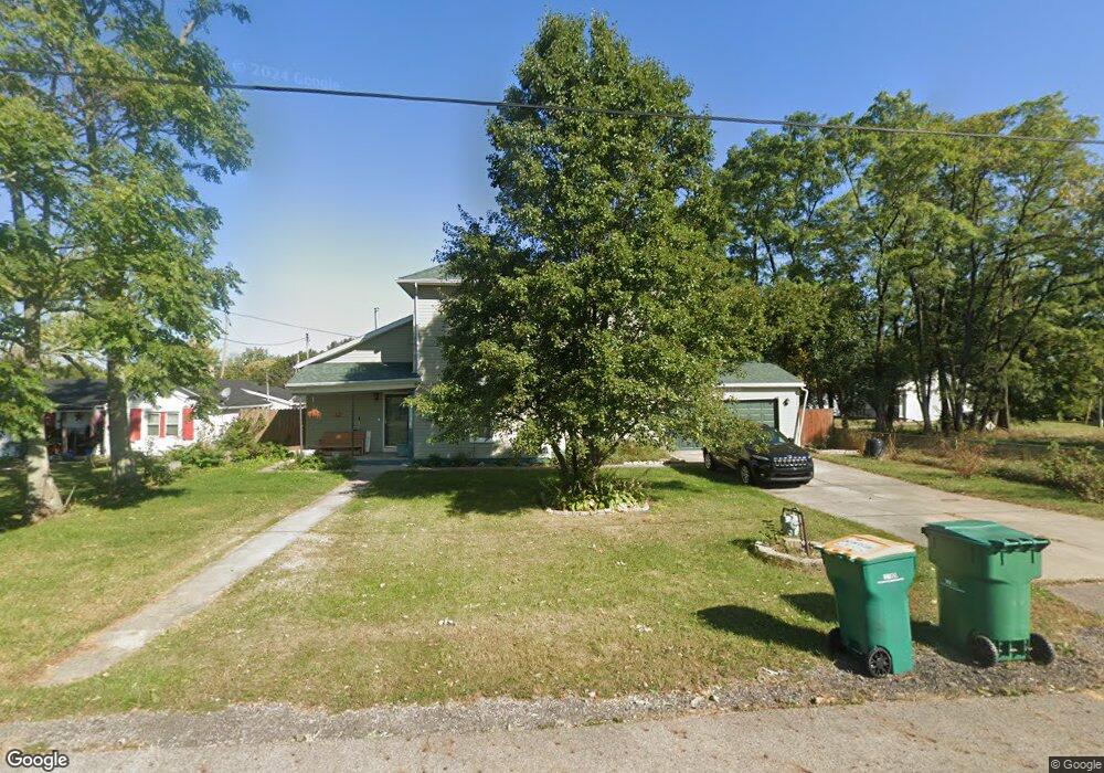
12 Lansdowne Ave Springfield, OH 45505
Estimated Value: $170,948 - $242,000
4
Beds
2
Baths
2,124
Sq Ft
$96/Sq Ft
Est. Value
About This Home
This home is located at 12 Lansdowne Ave, Springfield, OH 45505 and is currently estimated at $204,237, approximately $96 per square foot. 12 Lansdowne Ave is a home located in Clark County with nearby schools including Perrin Woods Elementary School, Hayward Middle School, and Springfield High School.
Ownership History
Date
Name
Owned For
Owner Type
Purchase Details
Closed on
Sep 19, 2018
Sold by
Daniel Darrel E
Bought by
Daniel Carla R
Current Estimated Value
Purchase Details
Closed on
Jul 30, 2004
Sold by
Chen Lan Jen
Bought by
Daniel Darrel E and Daniel Carla R
Home Financials for this Owner
Home Financials are based on the most recent Mortgage that was taken out on this home.
Original Mortgage
$72,000
Outstanding Balance
$35,762
Interest Rate
6.35%
Mortgage Type
Purchase Money Mortgage
Estimated Equity
$168,475
Purchase Details
Closed on
Aug 31, 1997
Sold by
Ly Peter
Bought by
Chen Lan Jen
Create a Home Valuation Report for This Property
The Home Valuation Report is an in-depth analysis detailing your home's value as well as a comparison with similar homes in the area
Home Values in the Area
Average Home Value in this Area
Purchase History
| Date | Buyer | Sale Price | Title Company |
|---|---|---|---|
| Daniel Carla R | -- | None Available | |
| Daniel Darrel E | $90,000 | -- | |
| Chen Lan Jen | $90,000 | -- |
Source: Public Records
Mortgage History
| Date | Status | Borrower | Loan Amount |
|---|---|---|---|
| Open | Daniel Darrel E | $72,000 | |
| Closed | Daniel Darrel E | $13,500 |
Source: Public Records
Tax History
| Year | Tax Paid | Tax Assessment Tax Assessment Total Assessment is a certain percentage of the fair market value that is determined by local assessors to be the total taxable value of land and additions on the property. | Land | Improvement |
|---|---|---|---|---|
| 2025 | $2,121 | $59,990 | $5,950 | $54,040 |
| 2024 | $2,066 | $42,870 | $5,060 | $37,810 |
| 2023 | $2,066 | $42,870 | $5,060 | $37,810 |
| 2022 | $2,116 | $42,870 | $5,060 | $37,810 |
| 2021 | $1,819 | $34,030 | $4,040 | $29,990 |
| 2020 | $1,824 | $34,030 | $4,040 | $29,990 |
| 2019 | $1,828 | $34,030 | $4,040 | $29,990 |
| 2018 | $1,973 | $35,280 | $3,310 | $31,970 |
| 2017 | $1,972 | $37,034 | $3,311 | $33,723 |
| 2016 | $1,974 | $37,034 | $3,311 | $33,723 |
| 2015 | $1,945 | $35,763 | $3,311 | $32,452 |
| 2014 | $1,937 | $35,763 | $3,311 | $32,452 |
| 2013 | $1,916 | $35,763 | $3,311 | $32,452 |
Source: Public Records
Map
Nearby Homes
- 2252 Ontario Ave
- 1754 S Fountain Ave
- 1823 Clay St
- 1730 Damascus Ave
- 1820 Clay St
- 201 Kinnane Ave
- 1619 S Center Blvd
- 518 Hazelbrook Ave
- 1846 Ohio Ave
- 1724 Clay St
- 402 Highview Ave
- 1417 Clifton Ave Unit 1419
- 1355 S Fountain Ave
- 711 Kinnane Ave
- 1502 Linden Ave
- 505 Highview Ave
- 0 W Perrin Ave Unit 1043508
- 0 W Perrin Ave Unit 951292
- 533 Highview Ave
- 1519 Tibbetts Ave
- 18 Lansdowne Ave
- 2137 S Fountain Ave
- 2129 S Fountain Ave
- 2138 S Fountain Ave
- 2128 Brennan Ln
- 2130 S Fountain Ave
- 2137 Brennan Ln
- 2121 S Fountain Ave
- 2120 Brennan Ln
- 2122 S Fountain Ave
- 2149 S Limestone St
- 2129 Brennan Ln
- 15 W Auburn Ave
- 7 E Auburn Ave
- 2121 Brennan Ln
- 35 W Auburn Ave
- 10 W Auburn Ave
- 6 E Auburn Ave
- 2200 S Limestone St
- 2051 S Fountain Ave
Your Personal Tour Guide
Ask me questions while you tour the home.