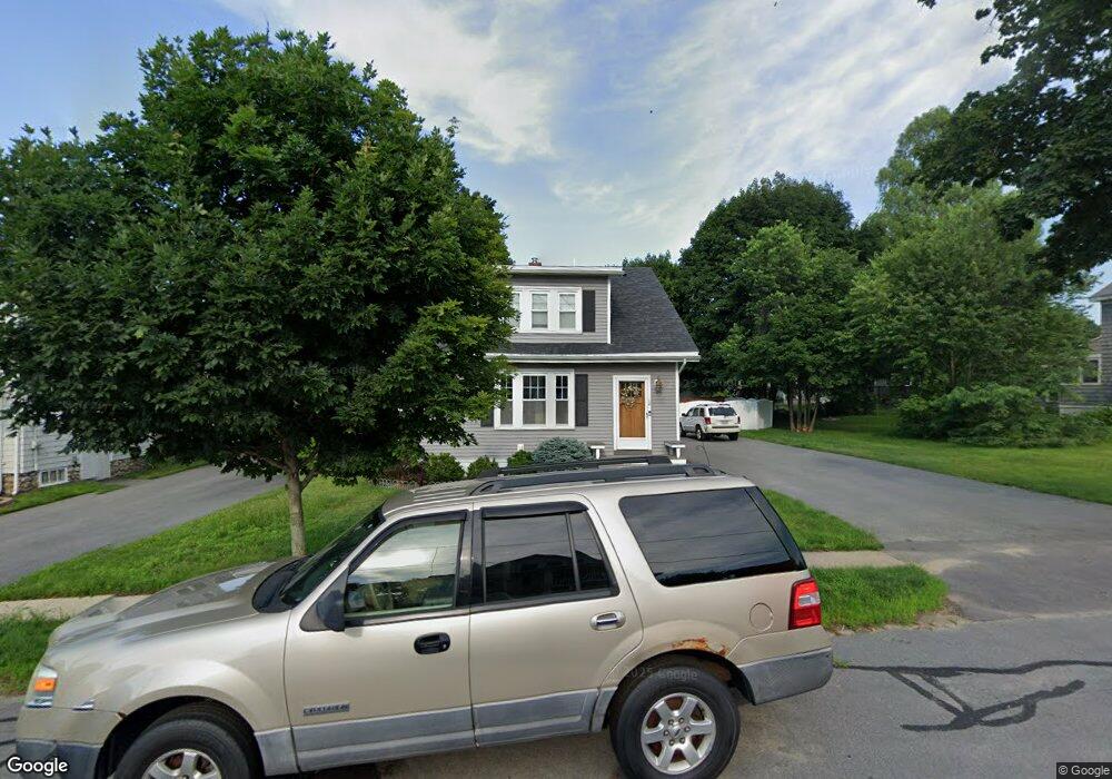
12 Lansing Ave Haverhill, MA 01832
Mount Washington NeighborhoodEstimated Value: $513,000 - $613,000
3
Beds
2
Baths
1,600
Sq Ft
$355/Sq Ft
Est. Value
About This Home
This home is located at 12 Lansing Ave, Haverhill, MA 01832 and is currently estimated at $567,905, approximately $354 per square foot. 12 Lansing Ave is a home located in Essex County with nearby schools including Tilton Elementary School, Consentino Middle School, and Haverhill High School.
Ownership History
Date
Name
Owned For
Owner Type
Purchase Details
Closed on
May 26, 2010
Sold by
Mayo Todd
Bought by
Pomroy Diana and Pomroy David
Current Estimated Value
Home Financials for this Owner
Home Financials are based on the most recent Mortgage that was taken out on this home.
Original Mortgage
$205,000
Interest Rate
5.13%
Mortgage Type
Purchase Money Mortgage
Purchase Details
Closed on
Feb 24, 2010
Sold by
Ashworth Chad M and Ashworth Megan M
Bought by
Mayo Todd
Purchase Details
Closed on
Aug 30, 2006
Sold by
Letourneau Richard E and Letourneau Susan F
Bought by
Ashworth Chad M and Ashworth Megan M
Create a Home Valuation Report for This Property
The Home Valuation Report is an in-depth analysis detailing your home's value as well as a comparison with similar homes in the area
Home Values in the Area
Average Home Value in this Area
Purchase History
| Date | Buyer | Sale Price | Title Company |
|---|---|---|---|
| Pomroy Diana | $285,000 | -- | |
| Mayo Todd | $153,000 | -- | |
| Ashworth Chad M | $200,000 | -- |
Source: Public Records
Mortgage History
| Date | Status | Borrower | Loan Amount |
|---|---|---|---|
| Open | Ashworth Chad M | $198,000 | |
| Closed | Ashworth Chad M | $205,000 |
Source: Public Records
Tax History Compared to Growth
Tax History
| Year | Tax Paid | Tax Assessment Tax Assessment Total Assessment is a certain percentage of the fair market value that is determined by local assessors to be the total taxable value of land and additions on the property. | Land | Improvement |
|---|---|---|---|---|
| 2025 | $5,376 | $502,000 | $180,100 | $321,900 |
| 2024 | $4,774 | $448,700 | $164,300 | $284,400 |
| 2023 | $4,751 | $426,100 | $164,300 | $261,800 |
| 2022 | $4,541 | $357,000 | $150,100 | $206,900 |
| 2021 | $4,367 | $324,900 | $140,600 | $184,300 |
| 2020 | $4,292 | $315,600 | $134,300 | $181,300 |
| 2019 | $4,160 | $298,200 | $116,900 | $181,300 |
| 2018 | $4,013 | $281,400 | $110,600 | $170,800 |
| 2017 | $3,947 | $263,300 | $107,400 | $155,900 |
| 2016 | $3,854 | $250,900 | $97,900 | $153,000 |
| 2015 | $3,851 | $250,900 | $97,900 | $153,000 |
Source: Public Records
Map
Nearby Homes
- 36 Lowell Ave
- 151 Broadway Unit 4
- 20 Janet Rd
- 98 Broadway
- 94-96 Broadway
- 1 Titcomb St
- 90 Lowell Ave
- 56 Pilgrim Rd
- 9 Woodcock Ave
- 16 Broad St
- 99 Freeman St
- 241-243 Broadway
- 23 Adele Ave
- 99 Blaisdell St Unit C
- 97-99 Blaisdell St Unit 2
- 2 N Broadway
- 134 Warrenton Rd
- 43 Boston St Unit 43
- 41 Boston St Unit 41
- 16 Standish Rd