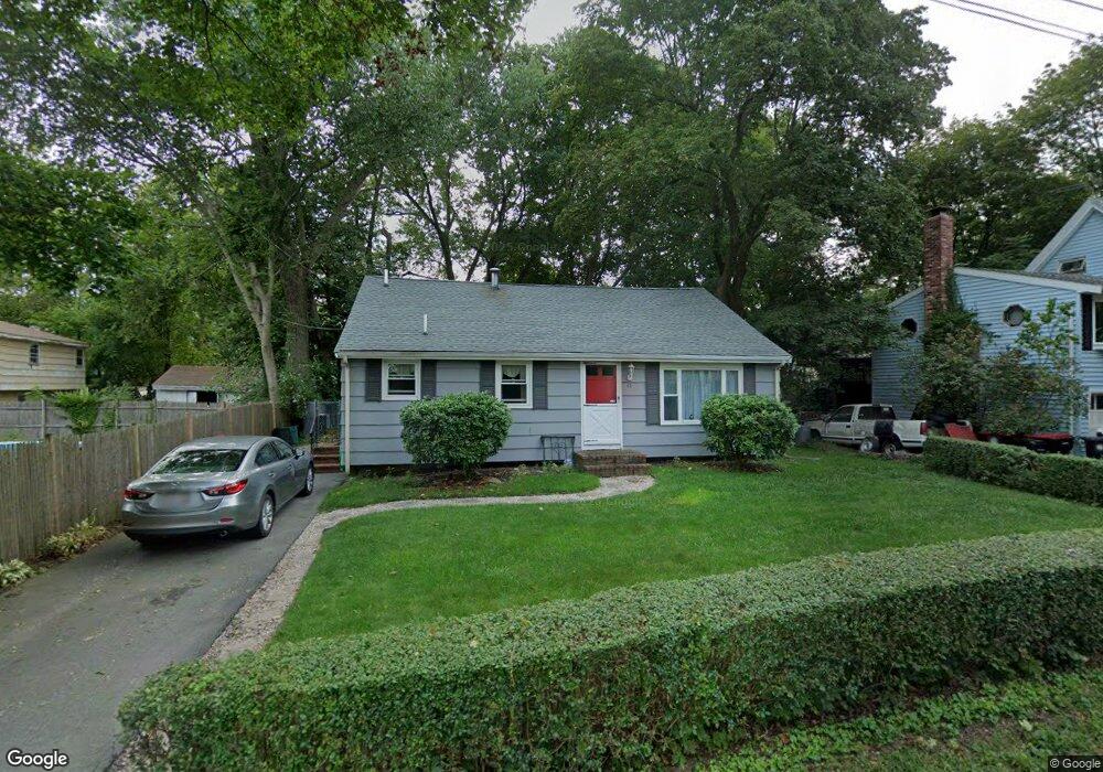
12 Laurel Ave Brockton, MA 02301
Montello NeighborhoodEstimated Value: $442,000 - $507,000
3
Beds
1
Bath
1,480
Sq Ft
$322/Sq Ft
Est. Value
About This Home
This home is located at 12 Laurel Ave, Brockton, MA 02301 and is currently estimated at $476,759, approximately $322 per square foot. 12 Laurel Ave is a home located in Plymouth County with nearby schools including Raymond K-8 Elementary School, Louis F Angelo Elementary School, and Hancock Elementary School.
Ownership History
Date
Name
Owned For
Owner Type
Purchase Details
Closed on
Jun 30, 1998
Sold by
Shannon Diane H
Bought by
Flannery Suzanne M
Current Estimated Value
Purchase Details
Closed on
Dec 3, 1990
Sold by
Huxley William J
Bought by
Hargedon Diane M
Create a Home Valuation Report for This Property
The Home Valuation Report is an in-depth analysis detailing your home's value as well as a comparison with similar homes in the area
Home Values in the Area
Average Home Value in this Area
Purchase History
| Date | Buyer | Sale Price | Title Company |
|---|---|---|---|
| Flannery Suzanne M | $110,500 | -- | |
| Hargedon Diane M | $116,000 | -- |
Source: Public Records
Mortgage History
| Date | Status | Borrower | Loan Amount |
|---|---|---|---|
| Open | Hargedon Diane M | $20,000 | |
| Open | Hargedon Diane M | $197,000 | |
| Closed | Hargedon Diane M | $176,000 |
Source: Public Records
Tax History Compared to Growth
Tax History
| Year | Tax Paid | Tax Assessment Tax Assessment Total Assessment is a certain percentage of the fair market value that is determined by local assessors to be the total taxable value of land and additions on the property. | Land | Improvement |
|---|---|---|---|---|
| 2025 | $5,119 | $422,700 | $144,100 | $278,600 |
| 2024 | $4,887 | $406,600 | $144,100 | $262,500 |
| 2023 | $5,130 | $395,200 | $108,800 | $286,400 |
| 2022 | $4,677 | $334,800 | $98,800 | $236,000 |
| 2021 | $4,438 | $306,100 | $91,500 | $214,600 |
| 2020 | $4,224 | $278,800 | $87,800 | $191,000 |
| 2019 | $3,890 | $250,300 | $81,300 | $169,000 |
| 2018 | $3,832 | $238,600 | $81,300 | $157,300 |
| 2017 | $3,309 | $205,500 | $81,300 | $124,200 |
| 2016 | $3,437 | $198,000 | $73,600 | $124,400 |
| 2015 | $3,285 | $181,000 | $73,600 | $107,400 |
| 2014 | $2,975 | $164,100 | $73,600 | $90,500 |
Source: Public Records
Map
Nearby Homes
- 11 Winsten St
- 706 W Main St
- 932 N Main St Unit 5
- 47 Beech Rd
- 279 Howard St
- 41 Martland Ave
- 863 N Main St
- 25 Merritt Ave
- 24 Oak St
- 221 Oak St Unit 8-12
- 2 Glendower St
- 105 Oscar Ave
- 51 Colantha Ave
- 178 Oak St
- 235 Oak St
- 60 Bonney St
- 20 Johnson Ct
- 737 N Montello St
- 77 Porter St
- 731 N Montello St Unit 6
- 18 Laurel Ave
- 18 Studley Ave
- 10 Studley Ave
- 1105 N Main St
- 11 Augustine St
- 28 Studley Ave
- 17 Augustine St
- 1089 N Main St
- 15 Laurel Ave
- 1111 N Main St
- 25 Augustine St
- 25 Laurel Ave
- 34 Studley Ave
- 11 Studley Ave
- 19 Studley Ave
- 19 Studley Ave Unit 2
- 31 Augustine St
- 27 Studley Ave
- 38 Studley Ave
- 1123 N Main St