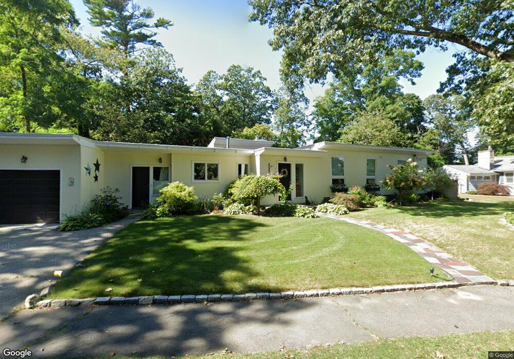
12 Laurel Rd Swampscott, MA 01907
Estimated Value: $951,000 - $1,176,000
4
Beds
3
Baths
2,151
Sq Ft
$501/Sq Ft
Est. Value
About This Home
This home is located at 12 Laurel Rd, Swampscott, MA 01907 and is currently estimated at $1,078,037, approximately $501 per square foot. 12 Laurel Rd is a home located in Essex County with nearby schools including Swampscott Middle School and Swampscott High School.
Ownership History
Date
Name
Owned For
Owner Type
Purchase Details
Closed on
Jun 30, 2010
Sold by
Venegas Jose G and Venegas Magnolia G
Bought by
Brock Mary Gail
Current Estimated Value
Purchase Details
Closed on
Mar 20, 1990
Sold by
Marblehead Sb
Bought by
Venegas Jose G
Create a Home Valuation Report for This Property
The Home Valuation Report is an in-depth analysis detailing your home's value as well as a comparison with similar homes in the area
Home Values in the Area
Average Home Value in this Area
Purchase History
| Date | Buyer | Sale Price | Title Company |
|---|---|---|---|
| Brock Mary Gail | $485,000 | -- | |
| Brock Mary Gail | $485,000 | -- | |
| Venegas Jose G | $242,000 | -- |
Source: Public Records
Mortgage History
| Date | Status | Borrower | Loan Amount |
|---|---|---|---|
| Open | Venegas Jose G | $218,000 | |
| Closed | Venegas Jose G | $218,000 |
Source: Public Records
Tax History
| Year | Tax Paid | Tax Assessment Tax Assessment Total Assessment is a certain percentage of the fair market value that is determined by local assessors to be the total taxable value of land and additions on the property. | Land | Improvement |
|---|---|---|---|---|
| 2025 | $11,024 | $961,100 | $428,300 | $532,800 |
| 2024 | $10,532 | $916,600 | $407,400 | $509,200 |
| 2023 | $9,585 | $816,400 | $365,600 | $450,800 |
| 2022 | $8,749 | $681,900 | $313,400 | $368,500 |
| 2021 | $8,953 | $648,800 | $292,500 | $356,300 |
| 2020 | $8,659 | $605,500 | $261,100 | $344,400 |
| 2019 | $8,807 | $579,400 | $235,000 | $344,400 |
| 2018 | $8,936 | $558,500 | $214,100 | $344,400 |
| 2017 | $9,126 | $523,000 | $200,600 | $322,400 |
| 2016 | $9,064 | $523,000 | $200,600 | $322,400 |
| 2015 | $8,969 | $523,000 | $200,600 | $322,400 |
| 2014 | $7,876 | $421,200 | $167,100 | $254,100 |
Source: Public Records
Map
Nearby Homes
- 71 Walnut Rd
- 22 Hemenway Rd
- 75 Bay View Dr
- 2 Ocean Ave
- 35 Alden Rd
- 38 Puritan Rd
- 50 Mountwood Rd
- 48 Mountwood Rd
- 3 Didio Dr
- 315 Puritan Rd
- 8 Summit View Dr
- 110 Galloupes Point Rd
- 27 Rockland St
- 133 Elmwood Rd Unit 2
- 1004 Paradise Rd Unit 1K
- 1004 Paradise Rd Unit 1L
- 49 Blaney St
- 245 Humphrey St Unit 205
- 1002 Paradise Rd Unit PHE
- 1008 Paradise Rd Unit 1M
Your Personal Tour Guide
Ask me questions while you tour the home.