12 Lawrence Rd Pocasset, MA 2559
Pocasset NeighborhoodEstimated Value: $790,492 - $1,031,000
About This Home
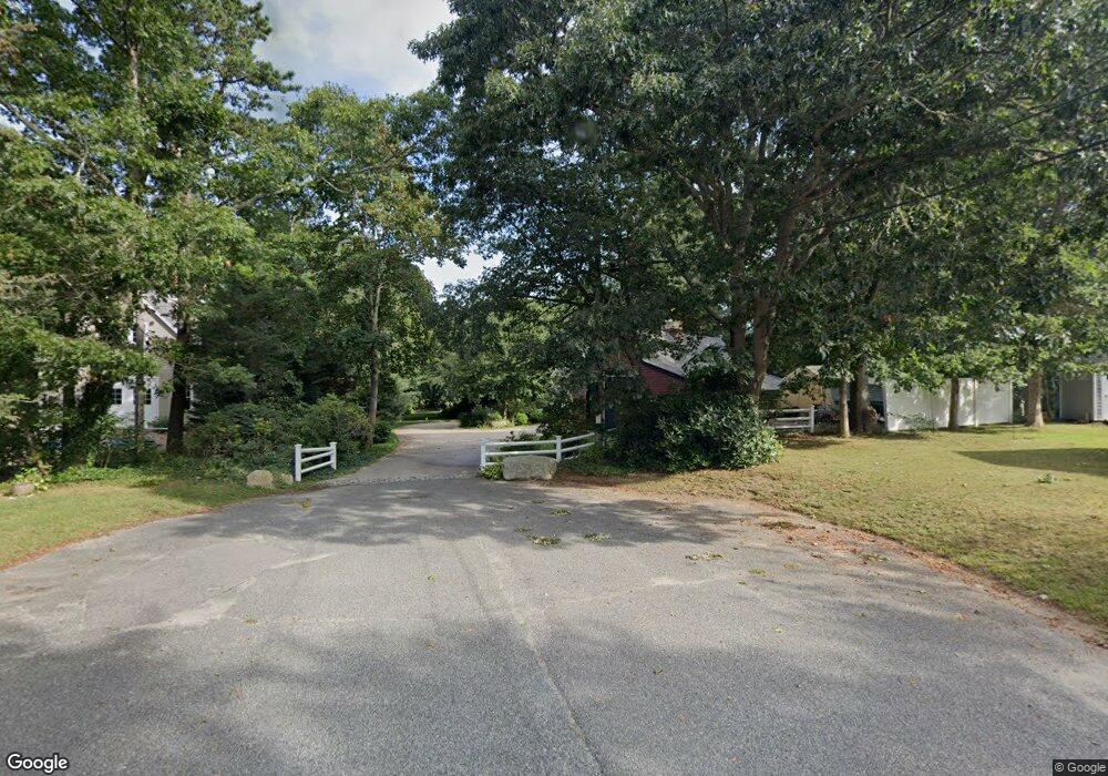
This home is located at 12 Lawrence Rd, Pocasset, MA 2559 and is currently estimated at $899,373, approximately $332 per square foot. 12 Lawrence Rd is a home located in Barnstable County with nearby schools including Bourne High School and Cadence Academy Preschool - Bourne.
Ownership History
We collect this data history from publicly available records. To have your information removed, we recommend requesting removal directly through your county’s website.
Purchase Details
Home Financials for this Owner
Home Financials are based on the most recent Mortgage that was taken out on this home.Purchase Details
Home Values in the Area
Average Home Value in this Area
Purchase History
We collect this data history from publicly available records. To have your information removed, we recommend requesting removal directly through your county’s website.
| Date | Buyer | Sale Price | Title Company |
|---|---|---|---|
| $253,000 | -- | ||
| $253,000 | -- | ||
| $187,000 | -- | ||
| $187,000 | -- |
Mortgage History
We collect this data history from publicly available records. To have your information removed, we recommend requesting removal directly through your county’s website.
| Date | Status | Borrower | Loan Amount |
|---|---|---|---|
| Open | $60,000 | ||
| Open | $120,000 | ||
| Closed | $60,000 |
Tax History
We collect this data history from publicly available records. To have your information removed, we recommend requesting removal directly through your county’s website.
| Year | Tax Paid | Tax Assessment Tax Assessment Total Assessment is a certain percentage of the fair market value that is determined by local assessors to be the total taxable value of land and additions on the property. | Land | Improvement |
|---|---|---|---|---|
| 2025 | $5,618 | $719,300 | $227,500 | $491,800 |
| 2024 | $5,429 | $676,900 | $227,500 | $449,400 |
| 2023 | $5,300 | $601,600 | $201,300 | $400,300 |
| 2022 | $5,048 | $500,300 | $178,200 | $322,100 |
| 2021 | $4,934 | $458,100 | $162,100 | $296,000 |
| 2020 | $4,678 | $435,600 | $160,600 | $275,000 |
| 2019 | $4,435 | $422,000 | $160,600 | $261,400 |
| 2018 | $4,251 | $403,300 | $153,000 | $250,300 |
| 2017 | $5,277 | $396,600 | $151,500 | $245,100 |
| 2016 | $3,910 | $384,800 | $144,300 | $240,500 |
| 2015 | $3,657 | $363,200 | $122,700 | $240,500 |
Map
- 710 County Rd
- 4 Oak Ridge Dr
- 174 Barlows Landing Rd
- 40 Bennets Neck Dr
- 14 Navajo Rd
- 27 Bellavista Dr
- 3 1st St
- 4 Quail Hill Rd
- 23 Club House Dr
- 446 Barlows Landing Rd
- 22 Avery Rd
- 52 Circuit Ave
- 52 Club House Dr
- 3 Melville Ct Unit C
- 566 Shore Rd
- 1 Melville Ct Unit B
- 10 Albert Rd
- 22 Nairn Rd
- 10 Howard Ave
- 48 Red Brook Harbor Rd
- 14 Ellen Rd
- 14 Ellen Ln
- 14 Ellen Ln Unit Lane
- 14 Ellen Ln Unit 14
- 0 Bassetts Island Unit 8040449
- 0 Bassetts Island Unit 9901557
- 0 Bassetts Island Unit 20506092
- 0 Bassetts Island Unit 21008063
- 0 Bassetts Island Unit 21204794
- 0 Bassetts Island Unit 71386049
- 0 Bassetts Island Unit 71126163
- 12 Ellen Rd
- 10 Lawrence Rd
- 9 Lawrence Rd
- 6 Lawrence Rd
- 290 Barlows Landing Rd
- 270 Barlows Landing Rd
- 10 Ellen Rd
- 5 Lawrence Rd
- 2 Ellen Ln
Ask me questions while you tour the home.