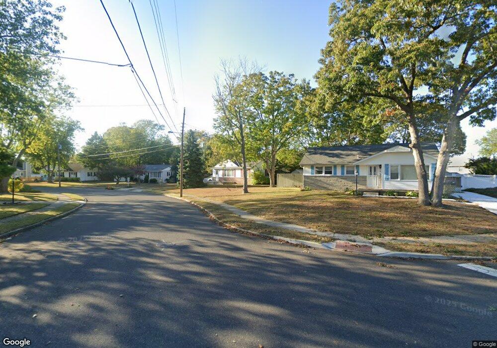
12 Lehigh Dr Somers Point, NJ 08244
Estimated Value: $381,000 - $419,000
3
Beds
1
Bath
1,112
Sq Ft
$359/Sq Ft
Est. Value
About This Home
This home is located at 12 Lehigh Dr, Somers Point, NJ 08244 and is currently estimated at $399,540, approximately $359 per square foot. 12 Lehigh Dr is a home located in Atlantic County with nearby schools including Mainland Regional High School, Saint Joseph Regional School, and St. Augustine Regional School.
Ownership History
Date
Name
Owned For
Owner Type
Purchase Details
Closed on
Feb 27, 1998
Sold by
Adriano Ronald B and Adriano Kathy A
Bought by
Adriano Ronald B
Current Estimated Value
Home Financials for this Owner
Home Financials are based on the most recent Mortgage that was taken out on this home.
Original Mortgage
$60,000
Interest Rate
6.53%
Create a Home Valuation Report for This Property
The Home Valuation Report is an in-depth analysis detailing your home's value as well as a comparison with similar homes in the area
Home Values in the Area
Average Home Value in this Area
Purchase History
| Date | Buyer | Sale Price | Title Company |
|---|---|---|---|
| Adriano Ronald B | -- | -- |
Source: Public Records
Mortgage History
| Date | Status | Borrower | Loan Amount |
|---|---|---|---|
| Closed | Adriano Ronald B | $60,000 |
Source: Public Records
Tax History
| Year | Tax Paid | Tax Assessment Tax Assessment Total Assessment is a certain percentage of the fair market value that is determined by local assessors to be the total taxable value of land and additions on the property. | Land | Improvement |
|---|---|---|---|---|
| 2025 | $6,122 | $171,200 | $73,100 | $98,100 |
| 2024 | $6,122 | $171,200 | $73,100 | $98,100 |
| 2023 | $5,720 | $171,200 | $73,100 | $98,100 |
| 2022 | $5,720 | $171,200 | $73,100 | $98,100 |
| 2021 | $5,634 | $171,200 | $73,100 | $98,100 |
| 2020 | $5,519 | $171,200 | $73,100 | $98,100 |
| 2019 | $5,364 | $171,200 | $73,100 | $98,100 |
| 2018 | $5,324 | $173,600 | $73,100 | $100,500 |
| 2017 | $5,133 | $173,600 | $73,100 | $100,500 |
| 2016 | $4,901 | $173,600 | $73,100 | $100,500 |
| 2015 | $4,850 | $173,600 | $73,100 | $100,500 |
| 2014 | $4,687 | $173,600 | $73,100 | $100,500 |
Source: Public Records
Map
Nearby Homes
Your Personal Tour Guide
Ask me questions while you tour the home.