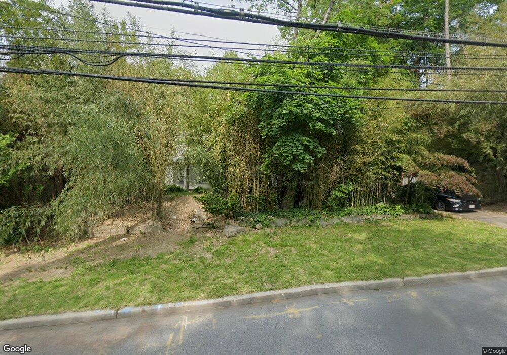
12 Lincoln Ave Rye Brook, NY 10573
Estimated Value: $822,000 - $1,120,150
4
Beds
3
Baths
2,543
Sq Ft
$380/Sq Ft
Est. Value
About This Home
This home is located at 12 Lincoln Ave, Rye Brook, NY 10573 and is currently estimated at $965,538, approximately $379 per square foot. 12 Lincoln Ave is a home located in Westchester County with nearby schools including Port Chester Senior High School, Corpus Christi Holy Rosary School, and Rye Country Day School.
Ownership History
Date
Name
Owned For
Owner Type
Purchase Details
Closed on
Oct 7, 2020
Sold by
Bainton Kenneth and Broaddus Mary
Bought by
Hiddenfield77 Corporation
Current Estimated Value
Purchase Details
Closed on
Aug 2, 2007
Sold by
Kouzmanoff Jan and Kouzmanoff Alan
Bought by
Bainton Kenneth and Broaddus Mary
Purchase Details
Closed on
Feb 4, 2005
Sold by
Kouzmanoff Alex
Bought by
Kouzmanoff Lillian
Purchase Details
Closed on
Aug 22, 1995
Sold by
Sotire Anthony G
Bought by
Sotire Anthony G and Sotire Michelle L
Create a Home Valuation Report for This Property
The Home Valuation Report is an in-depth analysis detailing your home's value as well as a comparison with similar homes in the area
Home Values in the Area
Average Home Value in this Area
Purchase History
| Date | Buyer | Sale Price | Title Company |
|---|---|---|---|
| Hiddenfield77 Corporation | -- | First American Title | |
| Bainton Kenneth | $375,000 | None Available | |
| Kouzmanoff Lillian | -- | -- | |
| Sotire Anthony G | -- | Chicago Title Insurance Co |
Source: Public Records
Tax History Compared to Growth
Tax History
| Year | Tax Paid | Tax Assessment Tax Assessment Total Assessment is a certain percentage of the fair market value that is determined by local assessors to be the total taxable value of land and additions on the property. | Land | Improvement |
|---|---|---|---|---|
| 2024 | $8,837 | $937,700 | $202,400 | $735,300 |
| 2023 | $14,915 | $810,800 | $192,700 | $618,100 |
| 2022 | $11,898 | $728,000 | $192,700 | $535,300 |
| 2021 | $12,665 | $486,100 | $192,700 | $293,400 |
| 2020 | $11,072 | $486,100 | $192,700 | $293,400 |
| 2019 | $17,073 | $462,000 | $183,700 | $278,300 |
| 2018 | $8,419 | $455,700 | $179,900 | $275,800 |
| 2017 | $1,937 | $447,600 | $169,800 | $277,800 |
| 2016 | $16,073 | $457,400 | $189,600 | $267,800 |
| 2015 | -- | $429,600 | $176,700 | $252,900 |
| 2014 | -- | $403,100 | $155,800 | $247,300 |
| 2013 | -- | $408,100 | $151,300 | $256,800 |
Source: Public Records
Map
Nearby Homes
- 9 Wilton Rd
- 27 Avon Cir Unit C
- 60 Talcott Rd
- 15 Maywood Ave
- 54 Lincoln Ave
- 10 Maywood Ave
- 7 Rockledge Rd
- 345 Betsy Brown Rd
- 15 Rockledge Rd
- 11 Whittemore Place
- 180 Fairview Ave
- 80 Valley Terrace
- 527 Purchase St
- 22 Ridge Blvd
- 494 Franklin St
- 485 Westchester Ave
- 14 Lakeside Dr
- 22 Breckenridge Ave
- 90 Windsor Rd
- 244 S Ridge St