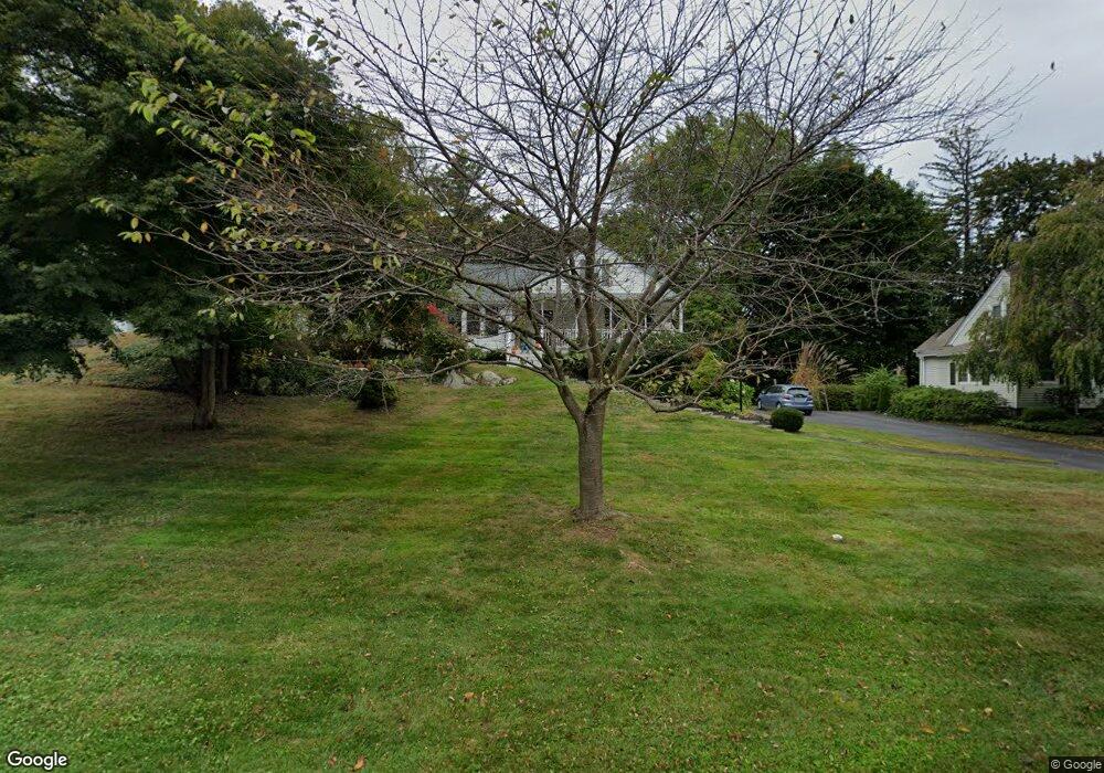
12 Linden Rd Poughkeepsie, NY 12603
Estimated Value: $431,000 - $517,000
4
Beds
2
Baths
1,996
Sq Ft
$241/Sq Ft
Est. Value
About This Home
This home is located at 12 Linden Rd, Poughkeepsie, NY 12603 and is currently estimated at $481,593, approximately $241 per square foot. 12 Linden Rd is a home located in Dutchess County with nearby schools including Poughkeepsie High School, Poughkeepsie Community Seventh-Day Adventist School, and Tabernacle Christian Academy.
Ownership History
Date
Name
Owned For
Owner Type
Purchase Details
Closed on
Oct 14, 2009
Sold by
Martz Bradley
Bought by
Devlin Dennis James
Current Estimated Value
Purchase Details
Closed on
Jul 30, 2007
Sold by
Oleary Brian
Bought by
Martz Bradley
Home Financials for this Owner
Home Financials are based on the most recent Mortgage that was taken out on this home.
Original Mortgage
$309,000
Interest Rate
6.72%
Mortgage Type
Purchase Money Mortgage
Purchase Details
Closed on
Jun 12, 1998
Sold by
Burgevin George V
Bought by
Close Glenn A and Close Catherine A
Create a Home Valuation Report for This Property
The Home Valuation Report is an in-depth analysis detailing your home's value as well as a comparison with similar homes in the area
Home Values in the Area
Average Home Value in this Area
Purchase History
| Date | Buyer | Sale Price | Title Company |
|---|---|---|---|
| Devlin Dennis James | $308,000 | -- | |
| Martz Bradley | $309,000 | -- | |
| Close Glenn A | $91,000 | -- |
Source: Public Records
Mortgage History
| Date | Status | Borrower | Loan Amount |
|---|---|---|---|
| Previous Owner | Martz Bradley | $309,000 |
Source: Public Records
Tax History
| Year | Tax Paid | Tax Assessment Tax Assessment Total Assessment is a certain percentage of the fair market value that is determined by local assessors to be the total taxable value of land and additions on the property. | Land | Improvement |
|---|---|---|---|---|
| 2024 | $10,093 | $427,900 | $69,300 | $358,600 |
| 2023 | $9,807 | $411,400 | $69,300 | $342,100 |
| 2022 | $9,215 | $374,000 | $63,000 | $311,000 |
| 2021 | $9,186 | $328,100 | $63,000 | $265,100 |
| 2020 | $8,840 | $285,300 | $63,000 | $222,300 |
| 2019 | $8,785 | $274,300 | $63,000 | $211,300 |
| 2018 | $8,340 | $258,800 | $63,000 | $195,800 |
| 2017 | $8,224 | $258,800 | $63,000 | $195,800 |
| 2016 | $8,017 | $256,200 | $63,000 | $193,200 |
| 2015 | -- | $256,200 | $63,000 | $193,200 |
| 2014 | -- | $256,200 | $63,000 | $193,200 |
Source: Public Records
Map
Nearby Homes
- 51 Woodland Ave
- 34 Woodland Ave
- 11 Seaman Rd
- 13 Parkwood Blvd
- 75 Beechwood Ave
- 7 Ferris Ln
- 50 Mitchell Ave
- 171 Hooker Ave
- 176 S Grand Ave
- 6 Rosalind Rd
- 15 Bobrick Rd
- 2740 South Rd Unit G11
- 9 Rosalind Rd
- 274 Hooker Ave Unit L2
- 17 Santa Anna Dr
- 31 Wilson Blvd
- 113 Hooker Ave
- 95 S Grand Ave
- 3701 Fox Ln
- 19 Maryland Ave
Your Personal Tour Guide
Ask me questions while you tour the home.