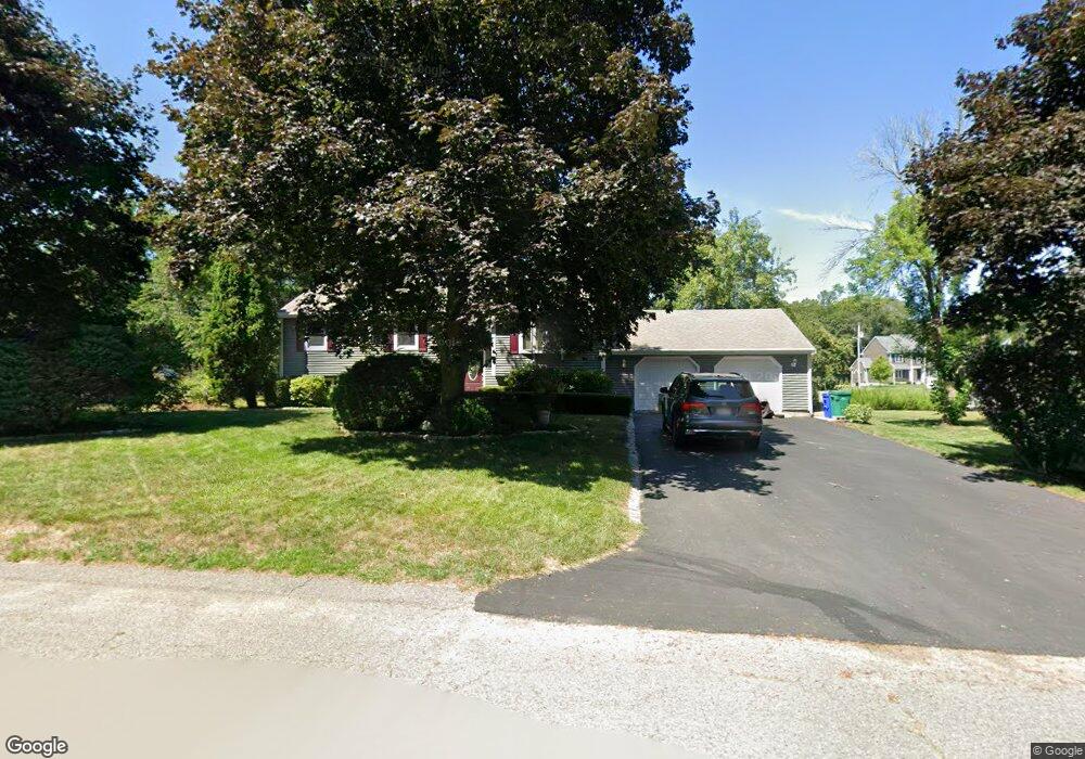
12 Lindsey Farm Ln Attleboro, MA 02703
Estimated Value: $521,703 - $596,000
3
Beds
2
Baths
1,132
Sq Ft
$491/Sq Ft
Est. Value
About This Home
This home is located at 12 Lindsey Farm Ln, Attleboro, MA 02703 and is currently estimated at $555,926, approximately $491 per square foot. 12 Lindsey Farm Ln is a home located in Bristol County with nearby schools including Thomas E. Willett School, Cyril K. Brennan Middle School, and Attleboro High School.
Ownership History
Date
Name
Owned For
Owner Type
Purchase Details
Closed on
Nov 7, 2017
Sold by
Warren Robert M and Warren Diane M
Bought by
Diane M Warren Lt
Current Estimated Value
Purchase Details
Closed on
Nov 14, 1986
Bought by
Warren Robert M and Warren Deane M
Create a Home Valuation Report for This Property
The Home Valuation Report is an in-depth analysis detailing your home's value as well as a comparison with similar homes in the area
Home Values in the Area
Average Home Value in this Area
Purchase History
| Date | Buyer | Sale Price | Title Company |
|---|---|---|---|
| Diane M Warren Lt | -- | -- | |
| Warren Robert M | $134,900 | -- |
Source: Public Records
Mortgage History
| Date | Status | Borrower | Loan Amount |
|---|---|---|---|
| Previous Owner | Warren Robert M | $75,000 | |
| Previous Owner | Warren Robert M | $25,000 | |
| Previous Owner | Warren Robert M | $100,000 |
Source: Public Records
Tax History Compared to Growth
Tax History
| Year | Tax Paid | Tax Assessment Tax Assessment Total Assessment is a certain percentage of the fair market value that is determined by local assessors to be the total taxable value of land and additions on the property. | Land | Improvement |
|---|---|---|---|---|
| 2025 | $6,085 | $484,900 | $167,400 | $317,500 |
| 2024 | $5,853 | $459,800 | $150,700 | $309,100 |
| 2023 | $5,710 | $417,100 | $152,200 | $264,900 |
| 2022 | $5,416 | $374,800 | $145,000 | $229,800 |
| 2021 | $5,042 | $340,700 | $139,500 | $201,200 |
| 2020 | $4,731 | $324,900 | $133,300 | $191,600 |
| 2019 | $4,472 | $315,800 | $130,900 | $184,900 |
| 2018 | $4,286 | $289,200 | $127,000 | $162,200 |
| 2017 | $4,169 | $286,500 | $123,800 | $162,700 |
| 2016 | $3,813 | $257,300 | $115,600 | $141,700 |
| 2015 | $3,683 | $250,400 | $115,600 | $134,800 |
| 2014 | $3,536 | $238,100 | $110,700 | $127,400 |
Source: Public Records
Map
Nearby Homes
- 255 Mckeon Dr
- 11 Buckthorn Ln
- 21 Shady Ln
- 20 Sperry Ln
- 115 Westfield Dr
- 196 Donald Tennant Cir
- 747 N Main St
- 678 N Main St
- 10 Hazelwood Ct
- 150 Gilbert St
- 451R Gilbert St
- 57 Vine St
- 71 Richardson Ave
- 11 Landry Ave
- 158 Ivy St
- 59 Laurelwood Dr
- 136 Lindsey St
- Lot 2 Jeffrey Dr
- Lot 5 Jeffrey Dr
- 107 Birchwood Dr
- 18 Lindsey Farm Ln
- 9 Ashden Ct
- 879 Lindsey St
- 5 Ashden Ct
- 4 Lindsey Farm Ln
- 11 Lindsey Farm Ln
- 1 Ashden Ct
- 19 Lindsey Farm Ln
- 5 Lindsey Farm Ln
- 853 Lindsey St
- 000 Lindsey St
- 24 Lindsey Farm Ln
- Lot 3 Ashden Ct (36)
- Lot 4 Ashden Court (44)
- Lot 8 Ashden Ct
- 845 Lindsey St
- 18 Jacap Dr
- 25 Lindsey Farm Ln
- 25 Lindsey Farm Ln
- 25 Lindsey Farm Ln Unit 25