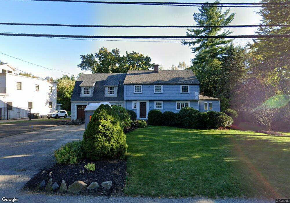
12 Lockeland Rd Winchester, MA 01890
West Side NeighborhoodEstimated Value: $1,372,000 - $1,573,801
4
Beds
2
Baths
2,476
Sq Ft
$598/Sq Ft
Est. Value
About This Home
This home is located at 12 Lockeland Rd, Winchester, MA 01890 and is currently estimated at $1,479,700, approximately $597 per square foot. 12 Lockeland Rd is a home located in Middlesex County with nearby schools including Vinson-Owen Elementary School, McCall Middle School, and Winchester High School.
Ownership History
Date
Name
Owned For
Owner Type
Purchase Details
Closed on
Dec 29, 2009
Sold by
Ward Geoffrey M and Demarco-Ward Giovanna
Bought by
Kosterman Todd M and Irizarry Stacey N
Current Estimated Value
Purchase Details
Closed on
Oct 1, 1993
Sold by
Stein Jeffrey A and Judd-Stein Cathy
Bought by
Ward Geoffrey M and Ward Giovanna D
Purchase Details
Closed on
Apr 17, 1987
Sold by
Li Winifred I
Bought by
Stein Jeffrey A
Create a Home Valuation Report for This Property
The Home Valuation Report is an in-depth analysis detailing your home's value as well as a comparison with similar homes in the area
Home Values in the Area
Average Home Value in this Area
Purchase History
| Date | Buyer | Sale Price | Title Company |
|---|---|---|---|
| Kosterman Todd M | $600,000 | -- | |
| Ward Geoffrey M | $291,500 | -- | |
| Stein Jeffrey A | $288,250 | -- |
Source: Public Records
Mortgage History
| Date | Status | Borrower | Loan Amount |
|---|---|---|---|
| Open | Stein Jeffrey A | $78,000 | |
| Open | Stein Jeffrey A | $417,000 |
Source: Public Records
Tax History Compared to Growth
Tax History
| Year | Tax Paid | Tax Assessment Tax Assessment Total Assessment is a certain percentage of the fair market value that is determined by local assessors to be the total taxable value of land and additions on the property. | Land | Improvement |
|---|---|---|---|---|
| 2025 | $151 | $1,362,300 | $842,100 | $520,200 |
| 2024 | $13,869 | $1,224,100 | $842,100 | $382,000 |
| 2023 | $12,664 | $1,073,200 | $728,100 | $345,100 |
| 2022 | $12,230 | $977,600 | $651,500 | $326,100 |
| 2021 | $11,080 | $863,600 | $537,500 | $326,100 |
| 2020 | $10,700 | $863,600 | $537,500 | $326,100 |
| 2019 | $4,496 | $812,300 | $486,200 | $326,100 |
| 2018 | $4,324 | $793,900 | $477,700 | $316,200 |
| 2017 | $9,505 | $774,000 | $477,700 | $296,300 |
| 2016 | $8,657 | $741,200 | $454,900 | $286,300 |
| 2015 | $8,357 | $688,400 | $414,000 | $274,400 |
| 2014 | $8,587 | $678,300 | $414,000 | $264,300 |
Source: Public Records
Map
Nearby Homes
- 14 Lockeland Rd
- 10 Lockeland Rd
- 18 Lockeland Rd
- 11 Lockeland Rd
- 9 Lockeland Rd
- 8 Lockeland Rd
- 15 Lockeland Rd
- 4 Mayflower Rd
- 7 Lockeland Rd
- 17 Lockeland Rd
- 4 Lockeland Rd
- 150 High St
- 6 Mayflower Rd
- 2 Mayflower Rd
- 21 Lockeland Rd
- 8 Mayflower Rd
- 158 High St
- 10 Mayflower Rd
- 2 Lockeland Rd
- 1 Pocahontas Dr