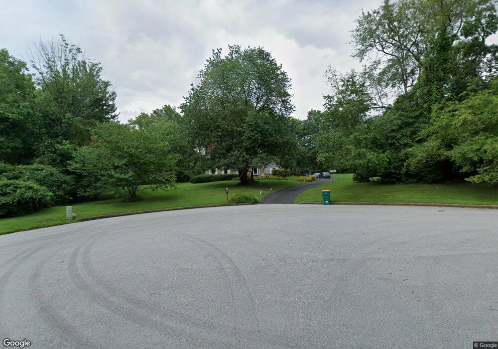
12 Lovalee Ln Thornton, PA 19373
Estimated Value: $732,021 - $861,000
4
Beds
4
Baths
2,289
Sq Ft
$351/Sq Ft
Est. Value
About This Home
This home is located at 12 Lovalee Ln, Thornton, PA 19373 and is currently estimated at $802,755, approximately $350 per square foot. 12 Lovalee Ln is a home located in Delaware County with nearby schools including Westtown-Thornbury Elementary School, Stetson Middle School, and Bayard Rustin High School.
Ownership History
Date
Name
Owned For
Owner Type
Purchase Details
Closed on
Feb 6, 1998
Sold by
Beagle Scott R and Beagle Kathleen M
Bought by
Citrenbaum Michael T and Citrenbaum Theresa M
Current Estimated Value
Home Financials for this Owner
Home Financials are based on the most recent Mortgage that was taken out on this home.
Original Mortgage
$180,800
Outstanding Balance
$31,722
Interest Rate
6.9%
Mortgage Type
Purchase Money Mortgage
Estimated Equity
$771,033
Create a Home Valuation Report for This Property
The Home Valuation Report is an in-depth analysis detailing your home's value as well as a comparison with similar homes in the area
Home Values in the Area
Average Home Value in this Area
Purchase History
| Date | Buyer | Sale Price | Title Company |
|---|---|---|---|
| Citrenbaum Michael T | $226,000 | -- |
Source: Public Records
Mortgage History
| Date | Status | Borrower | Loan Amount |
|---|---|---|---|
| Open | Citrenbaum Michael T | $180,800 |
Source: Public Records
Tax History Compared to Growth
Tax History
| Year | Tax Paid | Tax Assessment Tax Assessment Total Assessment is a certain percentage of the fair market value that is determined by local assessors to be the total taxable value of land and additions on the property. | Land | Improvement |
|---|---|---|---|---|
| 2025 | $5,657 | $432,130 | $131,790 | $300,340 |
| 2024 | $5,657 | $432,130 | $131,790 | $300,340 |
| 2023 | $5,322 | $411,490 | $131,790 | $279,700 |
| 2022 | $5,150 | $411,490 | $131,790 | $279,700 |
| 2021 | $8,091 | $411,490 | $131,790 | $279,700 |
| 2020 | $4,943 | $227,570 | $69,700 | $157,870 |
| 2019 | $4,901 | $227,570 | $69,700 | $157,870 |
| 2018 | $4,735 | $227,570 | $0 | $0 |
| 2017 | $4,622 | $227,570 | $0 | $0 |
| 2016 | $1,274 | $227,570 | $0 | $0 |
| 2015 | $1,249 | $227,570 | $0 | $0 |
| 2014 | $1,249 | $227,570 | $0 | $0 |
Source: Public Records
Map
Nearby Homes
- 111 Mill Rd
- Lot 3 149 Governor Markham Cheslen
- 403 Brinton Lake Rd
- Lot 2 145 Governor Markham Cheslen
- 257 Glen Mills Rd Unit C
- 257 Glen Mills Rd Unit B
- 257 Glen Mills Rd
- 250 Glen Mills Rd
- 255 Glen Mills Rd
- 51 Scott Rd
- 779 Concord Rd
- 186 Dilworthtown Rd
- 36 Judith Ln
- 724 Concord Rd
- 0 Baltimore Pike
- 65 Cheyney Rd
- 23 Annesley Dr
- 12 Cherry Farm Ln
- 16 Creekview Cir
- 244 Baltimore Pike Unit 101