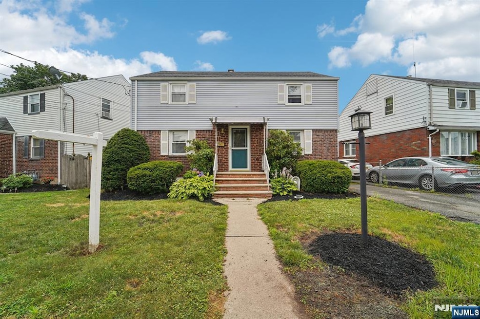

12 Macarthur Ave Hasbrouck Heights, NJ 07604
Estimated payment $4,615/month
About This Home
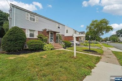
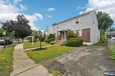
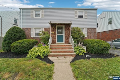
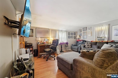
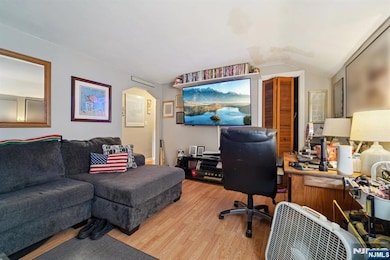
Back on Market – Prior Multiple Offers.?This ideally located 2-family home in sought-after Hasbrouck Heights offers unbeatable potential for investors or owner-occupants alike. The seller has just removed the underground oil tank and installed a new above-ground tank, delivering peace of mind and added value. With a Walk Score of 78, convenience is at your doorstep—just one block to NJ Transit Bus 163 to NYC and under a mile to the Pascack Valley Rail Line.The property awaits your personal touch and offers limitless possibilities to customize or expand. Additional features include a private backyard, gas cooking, separate electric & gas meters, and a full basement with storage and laundry hookups. Whether you're looking to invest, live in one unit and rent the other, or maximize rental income, this is a property full of opportunity in one of Bergen Countyâ€TMs most desirable communities. Sold strictly AS-IS—quick closing possible. Donâ€TMt miss this second chance!
Listing Agent
Christie's International Real Estate Group-Franklin Lakes Listed on: 07/07/2025

Property Details
Home Type
- Multi-Family
Est. Annual Taxes
- $11,804
Lot Details
- 6,813 Sq Ft Lot
- Lot Dimensions are 52x131
Home Design
Bedrooms and Bathrooms
- 5 Bedrooms
- 2 Full Bathrooms
Listing and Financial Details
- Legal Lot and Block 28 / 77.05
Map
Home Values in the Area
Average Home Value in this Area
Tax History
| Year | Tax Paid | Tax Assessment Tax Assessment Total Assessment is a certain percentage of the fair market value that is determined by local assessors to be the total taxable value of land and additions on the property. | Land | Improvement |
|---|---|---|---|---|
| 2025 | $11,804 | $462,000 | $211,000 | $251,000 |
| 2024 | $11,202 | $462,000 | $211,000 | $251,000 |
| 2023 | $10,959 | $434,700 | $193,500 | $241,200 |
| 2022 | $10,959 | $407,100 | $178,500 | $228,600 |
| 2021 | $10,672 | $377,900 | $169,000 | $208,900 |
| 2020 | $10,190 | $354,300 | $167,000 | $187,300 |
| 2019 | $9,912 | $348,400 | $165,000 | $183,400 |
| 2018 | $9,771 | $342,600 | $163,000 | $179,600 |
| 2017 | $9,616 | $336,700 | $161,000 | $175,700 |
| 2016 | $9,642 | $317,700 | $151,000 | $166,700 |
| 2015 | $9,487 | $317,700 | $151,000 | $166,700 |
| 2014 | $9,226 | $317,700 | $151,000 | $166,700 |
Property History
| Date | Event | Price | List to Sale | Price per Sq Ft |
|---|---|---|---|---|
| 11/13/2025 11/13/25 | Pending | -- | -- | -- |
| 10/24/2025 10/24/25 | Price Changed | $689,000 | 0.0% | -- |
| 10/24/2025 10/24/25 | For Sale | $689,000 | +10.2% | -- |
| 10/08/2025 10/08/25 | Off Market | $625,000 | -- | -- |
| 10/06/2025 10/06/25 | Pending | -- | -- | -- |
| 10/05/2025 10/05/25 | Pending | -- | -- | -- |
| 09/17/2025 09/17/25 | For Sale | $625,000 | 0.0% | -- |
| 07/24/2025 07/24/25 | Pending | -- | -- | -- |
| 07/07/2025 07/07/25 | For Sale | $625,000 | -- | -- |
Source: New Jersey MLS
MLS Number: 25022156
APN: 25-00077-05-00028
Disclaimer: Certain information contained herein is derived from information provided by parties other than Homes.com. All information provided is deemed reliable, but is not guaranteed to be accurate and should be independently verified.
![]() The data relating to the real estate for sale on this web site comes in part from the Internet Data Exchange Program of the NJMLS. Real estate listings held by brokerage firms other than Ten-X are marked with the Internet Data Exchange logo and information about them includes the name of the listing brokers. Some properties listed with the participating brokers do not appear on this website at the request of the seller. Listings of brokers that do not participate in Internet Data Exchange do not appear on this website.
The data relating to the real estate for sale on this web site comes in part from the Internet Data Exchange Program of the NJMLS. Real estate listings held by brokerage firms other than Ten-X are marked with the Internet Data Exchange logo and information about them includes the name of the listing brokers. Some properties listed with the participating brokers do not appear on this website at the request of the seller. Listings of brokers that do not participate in Internet Data Exchange do not appear on this website.
All information deemed reliable but not guaranteed. Source: New Jersey Multiple Listing, Inc.
© 2025 New Jersey Multiple Listing Service Inc. All rights reserved.
- 80 Macarthur Ave
- 14 James Ct
- 229 Baldwin Ave
- 513 Boulevard
- 32 Pasadena Ave
- 300 Garibaldi Ave
- 268 Church St
- 460 Boulevard
- 100 Charlton Ave
- 163 Kent St
- 152 Williams Ave
- 274 Union St
- 206 Albert St
- 295 Bell Ave
- 15 2nd St
- 378 Marvin Ave
- 238 Bell Ave
- 115 Polifly Rd Unit 4F
- 115 Polifly Rd Unit 3E
- 485 Hasbrouck Ave