12 Macgregor Ct Durham, NC 27705
Garrett NeighborhoodEstimated Value: $656,000 - $828,000
4
Beds
3
Baths
3,490
Sq Ft
$217/Sq Ft
Est. Value
About This Home
This home is located at 12 Macgregor Ct, Durham, NC 27705 and is currently estimated at $756,887, approximately $216 per square foot. 12 Macgregor Ct is a home located in Durham County with nearby schools including Morehead Montessori, Forest View Elementary, and Sherwood Githens Middle.
Ownership History
Date
Name
Owned For
Owner Type
Purchase Details
Closed on
Apr 17, 2003
Sold by
Coston Helen Parrish and Fuller Helen Parrish
Bought by
Coston Helen Parrish
Current Estimated Value
Home Financials for this Owner
Home Financials are based on the most recent Mortgage that was taken out on this home.
Original Mortgage
$140,750
Interest Rate
5.62%
Mortgage Type
Purchase Money Mortgage
Create a Home Valuation Report for This Property
The Home Valuation Report is an in-depth analysis detailing your home's value as well as a comparison with similar homes in the area
Home Values in the Area
Average Home Value in this Area
Purchase History
| Date | Buyer | Sale Price | Title Company |
|---|---|---|---|
| Coston Helen Parrish | -- | -- |
Source: Public Records
Mortgage History
| Date | Status | Borrower | Loan Amount |
|---|---|---|---|
| Closed | Coston Helen Parrish | $140,750 |
Source: Public Records
Tax History
| Year | Tax Paid | Tax Assessment Tax Assessment Total Assessment is a certain percentage of the fair market value that is determined by local assessors to be the total taxable value of land and additions on the property. | Land | Improvement |
|---|---|---|---|---|
| 2025 | $6,989 | $705,010 | $175,500 | $529,510 |
| 2024 | $6,054 | $433,994 | $77,850 | $356,144 |
| 2023 | $5,685 | $433,994 | $77,850 | $356,144 |
| 2022 | $5,555 | $433,994 | $77,850 | $356,144 |
| 2021 | $5,529 | $433,994 | $77,850 | $356,144 |
| 2020 | $5,398 | $433,994 | $77,850 | $356,144 |
| 2019 | $5,398 | $433,994 | $77,850 | $356,144 |
| 2018 | $5,491 | $404,824 | $77,850 | $326,974 |
| 2017 | $5,451 | $404,824 | $77,850 | $326,974 |
| 2016 | $5,267 | $404,824 | $77,850 | $326,974 |
| 2015 | $5,498 | $397,137 | $66,227 | $330,910 |
| 2014 | $5,498 | $397,137 | $66,227 | $330,910 |
Source: Public Records
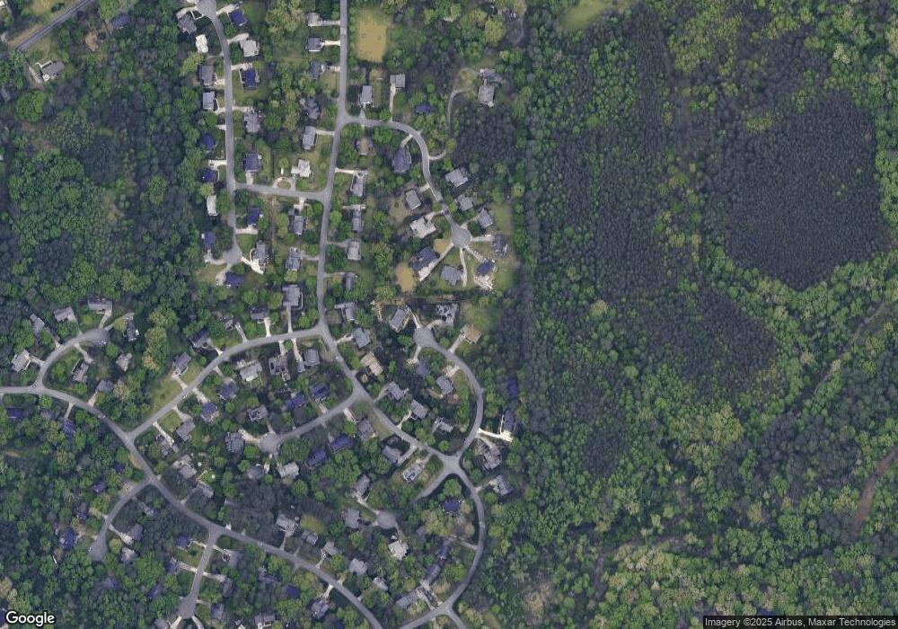
Map
Nearby Homes
- 3806 Lochnora Pkwy
- 103 Spring Blossom Ln
- 3207 W Cornwallis Rd
- 3205 W Cornwallis Rd
- 100 Pathwood Ln
- 308 Few Cir
- 3435 Cromwell Rd
- 3704 Keohane Dr
- 116 Carramore Ln
- 1227 Birchbark Rd
- 3088 Colony Rd Unit A
- 2201 W Cornwallis Rd Unit 2b-2
- 2201 W Cornwallis Rd Unit 1b-1
- 2201 W Cornwallis Rd Unit 2b-3.1
- 2201 W Cornwallis Rd Unit 1b-3
- 2201 W Cornwallis Rd Unit 2b-3
- 2201 W Cornwallis Rd Unit 2b-4
- 2201 W Cornwallis Rd Unit 2b-2.1
- 2201 W Cornwallis Rd Unit 1b-2
- 2201 W Cornwallis Rd Unit 2b-1
- 3103 Chelmsford Dr
- 10 Macgregor Ct
- 11 Macgregor Ct
- 3105 Chelmsford Dr
- 9 Macgregor Ct
- 3102 Chelmsford Dr
- 7 Macgregor Ct
- 3107 Chelmsford Dr
- 3205 Annandale Rd
- 3201 Annandale Rd
- 3104 Chelmsford Dr
- 3123 Annandale Rd
- 3209 Annandale Rd
- 3119 Annandale Rd
- 6 Macgregor Ct
- 3213 Annandale Rd
- 3115 Annandale Rd
- 3108 Chelmsford Dr
- 3106 Chelmsford Dr
- 3 Macgregor Ct
Your Personal Tour Guide
Ask me questions while you tour the home.