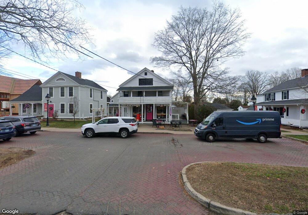
12 Main St Hebron, CT 06248
Estimated Value: $382,785
2
Beds
2
Baths
1,989
Sq Ft
$192/Sq Ft
Est. Value
About This Home
This home is located at 12 Main St, Hebron, CT 06248 and is currently estimated at $382,785, approximately $192 per square foot. 12 Main St is a home located in Tolland County with nearby schools including Gilead Hill School, Hebron Elementary School, and RHAM Middle School.
Ownership History
Date
Name
Owned For
Owner Type
Purchase Details
Closed on
Jul 13, 2012
Sold by
Delaney Ian
Bought by
Kafe Kostalota Llc
Current Estimated Value
Purchase Details
Closed on
Dec 14, 2009
Sold by
Celio James
Bought by
Delaney Ian
Home Financials for this Owner
Home Financials are based on the most recent Mortgage that was taken out on this home.
Original Mortgage
$176,250
Interest Rate
7.75%
Mortgage Type
Commercial
Create a Home Valuation Report for This Property
The Home Valuation Report is an in-depth analysis detailing your home's value as well as a comparison with similar homes in the area
Home Values in the Area
Average Home Value in this Area
Purchase History
| Date | Buyer | Sale Price | Title Company |
|---|---|---|---|
| Kafe Kostalota Llc | $203,000 | -- | |
| Kafe Kostalota Llc | $203,000 | -- | |
| Delaney Ian | $235,000 | -- | |
| Delaney Ian | $235,000 | -- |
Source: Public Records
Mortgage History
| Date | Status | Borrower | Loan Amount |
|---|---|---|---|
| Previous Owner | Delaney Ian | $176,250 | |
| Previous Owner | Delaney Ian | $40,000 |
Source: Public Records
Tax History
| Year | Tax Paid | Tax Assessment Tax Assessment Total Assessment is a certain percentage of the fair market value that is determined by local assessors to be the total taxable value of land and additions on the property. | Land | Improvement |
|---|---|---|---|---|
| 2025 | $4,891 | $132,720 | $106,750 | $25,970 |
| 2024 | $4,579 | $132,720 | $106,750 | $25,970 |
| 2023 | $4,405 | $132,720 | $106,750 | $25,970 |
| 2022 | $4,207 | $132,720 | $106,750 | $25,970 |
| 2021 | $6,033 | $166,050 | $100,490 | $65,560 |
| 2020 | $6,033 | $166,050 | $100,490 | $65,560 |
| 2019 | $6,152 | $166,050 | $100,490 | $65,560 |
| 2018 | $6,217 | $166,050 | $100,490 | $65,560 |
| 2017 | $6,144 | $166,050 | $100,490 | $65,560 |
| 2016 | $5,833 | $163,660 | $93,170 | $70,490 |
| 2015 | $5,892 | $163,660 | $93,170 | $70,490 |
| 2014 | $5,851 | $163,660 | $93,170 | $70,490 |
Source: Public Records
Map
Nearby Homes
- 1 Church St
- 2 Church St
- 64 Loveland Rd
- 0 Gilead St
- 249 Wall St
- 90 Slocum Rd
- 00 Zola Rd
- 13 Basket Shop Rd
- 33 Northam Rd
- 555 Wall St
- 2 Summit Rd
- 39 Paper Mill Rd
- 465 Old Slocum Rd
- 559 W Main St
- 40 Hillcrest Dr
- 0 Deepwood Dr
- 0 Ryan Terrace Unit 24144446
- 12 Rondaly Rd
- 2 Lots on Deepwood Dr
- 107 Lake Shore Dr
- 10 Main St
- 10 Main St Unit 2W&2E
- 10 Main St Unit 2-W
- 10 Main St Unit 4
- 10 Main St Unit 2E
- 14 Main St
- 4 Main St
- 4 Main St Unit C
- 4161 Main St Unit 61-E
- 7 Toomey Ln
- 13 Church St
- 13 Church St Unit 2-A
- 13 Church (Unit 1 Toomey's Crossing) St
- 17 Church St
- 17 Main St
- 6 Church St
- 000 Church St
- 21 Main St
- 30 Main St
- 18 Church St
Your Personal Tour Guide
Ask me questions while you tour the home.