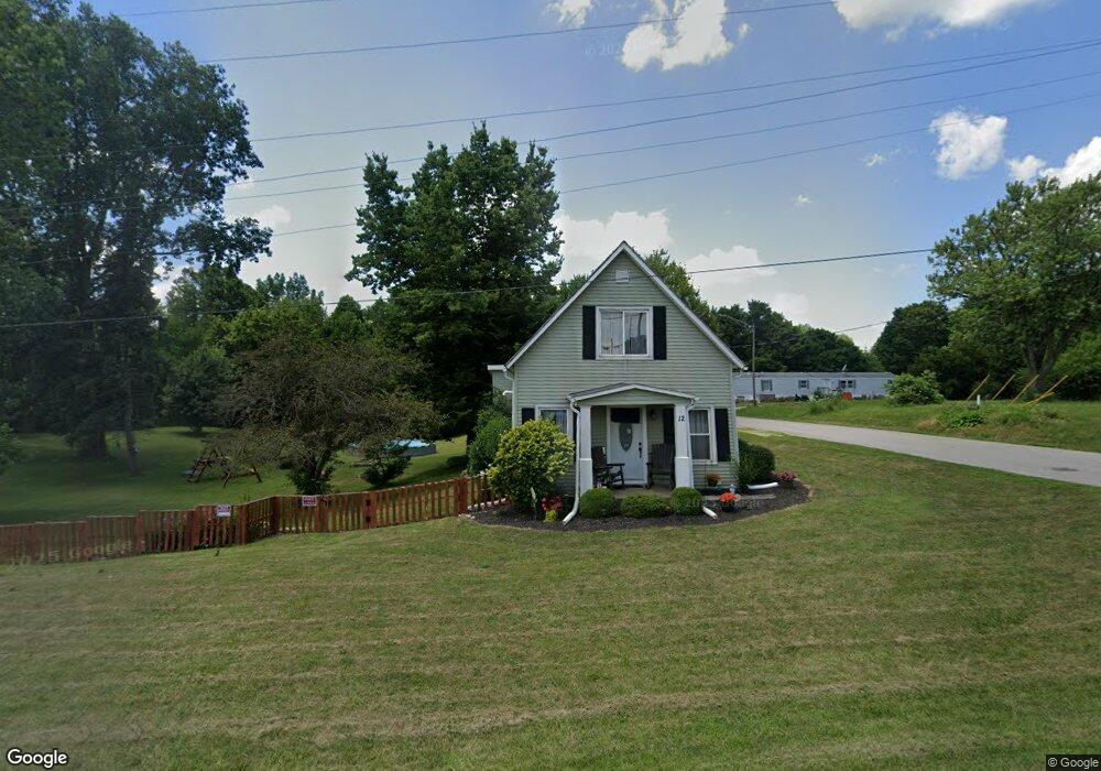
12 Main St Michigantown, IN 46057
Estimated Value: $168,000 - $194,000
3
Beds
1
Bath
2,014
Sq Ft
$92/Sq Ft
Est. Value
About This Home
This home is located at 12 Main St, Michigantown, IN 46057 and is currently estimated at $184,862, approximately $91 per square foot. 12 Main St is a home located in Clinton County with nearby schools including Clinton Central Elementary School and Clinton Central Junior/Senior High School.
Ownership History
Date
Name
Owned For
Owner Type
Purchase Details
Closed on
May 17, 2019
Sold by
Shoup Family Llc
Bought by
Waddups James and Waddups Tonya
Current Estimated Value
Home Financials for this Owner
Home Financials are based on the most recent Mortgage that was taken out on this home.
Original Mortgage
$136,363
Outstanding Balance
$119,647
Interest Rate
4.1%
Mortgage Type
New Conventional
Estimated Equity
$65,215
Purchase Details
Closed on
May 12, 2008
Sold by
The Secretary Of Hud
Bought by
Shoup Family Llc
Purchase Details
Closed on
Jul 30, 2007
Sold by
Wells Fargo Bank Na
Bought by
The Secretary Of Hud
Purchase Details
Closed on
May 23, 2007
Sold by
Ross Kimberly K
Bought by
Wells Fargo Bank N A
Purchase Details
Closed on
Aug 29, 2001
Sold by
Singleton Orville A
Bought by
Ross Samuel S and Ross Kimberly K
Create a Home Valuation Report for This Property
The Home Valuation Report is an in-depth analysis detailing your home's value as well as a comparison with similar homes in the area
Home Values in the Area
Average Home Value in this Area
Purchase History
| Date | Buyer | Sale Price | Title Company |
|---|---|---|---|
| Waddups James | -- | First American Solutions | |
| Shoup Family Llc | -- | None Available | |
| The Secretary Of Hud | -- | None Available | |
| Wells Fargo Bank N A | $75,671 | None Available | |
| Ross Samuel S | $70,000 | -- |
Source: Public Records
Mortgage History
| Date | Status | Borrower | Loan Amount |
|---|---|---|---|
| Open | Waddups James | $136,363 |
Source: Public Records
Tax History Compared to Growth
Tax History
| Year | Tax Paid | Tax Assessment Tax Assessment Total Assessment is a certain percentage of the fair market value that is determined by local assessors to be the total taxable value of land and additions on the property. | Land | Improvement |
|---|---|---|---|---|
| 2024 | $713 | $92,800 | $26,400 | $66,400 |
| 2023 | $737 | $93,200 | $26,400 | $66,800 |
| 2022 | $569 | $83,900 | $26,400 | $57,500 |
| 2021 | $556 | $80,600 | $26,400 | $54,200 |
| 2020 | $542 | $80,600 | $26,400 | $54,200 |
| 2019 | $399 | $66,700 | $26,400 | $40,300 |
| 2018 | $1,365 | $65,800 | $26,400 | $39,400 |
| 2017 | $1,352 | $65,500 | $26,400 | $39,100 |
| 2016 | $1,166 | $63,200 | $26,400 | $36,800 |
| 2014 | $1,100 | $64,500 | $26,400 | $38,100 |
Source: Public Records
Map
Nearby Homes
- 102 Main St
- 404 E 3rd St
- 508 Ohio St
- 5371 E 500 Rd N
- 5184 E County Road 100 N
- 1819 N County Road 830 E
- 5371 E County Road 500 N
- 2696 E Michigantown Rd
- 8994 E Hillis St
- 6953 N State Road 29
- 2775 E State Road 28
- 2174 Washington Ave
- 845 Makenna Cir
- 654 N Crescent Dr
- 1309 N County Road 30 E
- 359 Center Dr
- 759 Sunrise Dr Unit 111
- 837 Sunrise Dr Unit 119
- 832 Sunrise Dr Unit 118
- 829 Sunrise Dr Unit 117