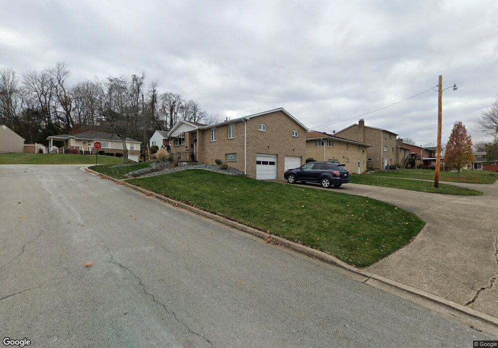
12 Maple Ln Jeannette, PA 15644
Estimated Value: $149,000 - $237,460
--
Bed
--
Bath
--
Sq Ft
6,011
Sq Ft Lot
About This Home
This home is located at 12 Maple Ln, Jeannette, PA 15644 and is currently estimated at $196,487. 12 Maple Ln is a home located in Westmoreland County with nearby schools including Jeannette McKee Elementary School, Jeannette Mckee Middle School, and Jeannette Junior/Senior High School.
Ownership History
Date
Name
Owned For
Owner Type
Purchase Details
Closed on
Jun 19, 2014
Sold by
Mcfarlane Ryan D and Mcfarlane Jenna M
Bought by
Ferri Katie and Dutkovich Matthew
Current Estimated Value
Home Financials for this Owner
Home Financials are based on the most recent Mortgage that was taken out on this home.
Original Mortgage
$117,500
Outstanding Balance
$89,238
Interest Rate
4.16%
Mortgage Type
New Conventional
Estimated Equity
$107,249
Purchase Details
Closed on
Aug 22, 2008
Sold by
Maun Anna R
Bought by
Mcfarlane Ryan D and Mcfarlane Jenna M
Home Financials for this Owner
Home Financials are based on the most recent Mortgage that was taken out on this home.
Original Mortgage
$93,000
Interest Rate
6.69%
Mortgage Type
Purchase Money Mortgage
Create a Home Valuation Report for This Property
The Home Valuation Report is an in-depth analysis detailing your home's value as well as a comparison with similar homes in the area
Home Values in the Area
Average Home Value in this Area
Purchase History
| Date | Buyer | Sale Price | Title Company |
|---|---|---|---|
| Ferri Katie | $123,700 | None Available | |
| Mcfarlane Ryan D | $105,500 | None Available |
Source: Public Records
Mortgage History
| Date | Status | Borrower | Loan Amount |
|---|---|---|---|
| Open | Ferri Katie | $117,500 | |
| Previous Owner | Mcfarlane Ryan D | $93,000 |
Source: Public Records
Tax History Compared to Growth
Tax History
| Year | Tax Paid | Tax Assessment Tax Assessment Total Assessment is a certain percentage of the fair market value that is determined by local assessors to be the total taxable value of land and additions on the property. | Land | Improvement |
|---|---|---|---|---|
| 2025 | $2,474 | $16,160 | $2,750 | $13,410 |
| 2024 | $2,474 | $16,160 | $2,750 | $13,410 |
| 2023 | $2,361 | $16,160 | $2,750 | $13,410 |
| 2022 | $2,345 | $16,160 | $2,750 | $13,410 |
| 2021 | $2,345 | $16,160 | $2,750 | $13,410 |
| 2020 | $2,345 | $16,160 | $2,750 | $13,410 |
| 2019 | $2,288 | $16,160 | $2,750 | $13,410 |
| 2018 | $2,272 | $16,160 | $2,750 | $13,410 |
| 2017 | $2,256 | $16,160 | $2,750 | $13,410 |
| 2016 | $2,203 | $16,160 | $2,750 | $13,410 |
| 2015 | $2,203 | $16,160 | $2,750 | $13,410 |
| 2014 | $2,203 | $16,160 | $2,750 | $13,410 |
Source: Public Records
Map
Nearby Homes
- 0 Pennsylvania Blvd
- 1026 Jefferson Ave
- 644 Birch St
- 406 Vine St
- 000 Lewis Ave
- 207 Hideaway Ln
- Lot 7 Linden Dr
- 813 Washington Ave
- 0 Jane St
- 600 Lewis Ave
- 49 Millersdale Rd
- 608 Washington Ave
- 507 Michigan Ave
- 408 Michigan Ave
- 400 Michigan Ave
- 301 Lewis Ave
- 6563 State Route 30
- 705 Ash St
- 32 Wayne Ave
- 506 Lowry Ave