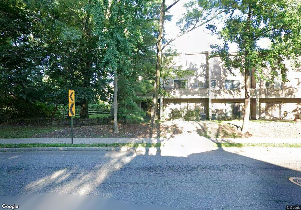
12 Maple St Leonia, NJ 07605
Estimated Value: $660,000 - $748,000
Studio
--
Bath
1,643
Sq Ft
$430/Sq Ft
Est. Value
About This Home
This home is located at 12 Maple St, Leonia, NJ 07605 and is currently estimated at $706,402, approximately $429 per square foot. 12 Maple St is a home located in Bergen County with nearby schools including Anna C. Scott Elementary School, Leonia Middle School, and Leonia High School.
Ownership History
Date
Name
Owned For
Owner Type
Purchase Details
Closed on
May 29, 2003
Sold by
Hellas Co Ltd
Bought by
Dipaola Kenneth and Dipaola Linda Sager
Current Estimated Value
Home Financials for this Owner
Home Financials are based on the most recent Mortgage that was taken out on this home.
Original Mortgage
$300,000
Outstanding Balance
$131,319
Interest Rate
5.77%
Estimated Equity
$575,083
Create a Home Valuation Report for This Property
The Home Valuation Report is an in-depth analysis detailing your home's value as well as a comparison with similar homes in the area
Home Values in the Area
Average Home Value in this Area
Purchase History
| Date | Buyer | Sale Price | Title Company |
|---|---|---|---|
| Dipaola Kenneth | $375,000 | -- |
Source: Public Records
Mortgage History
| Date | Status | Borrower | Loan Amount |
|---|---|---|---|
| Open | Dipaola Kenneth | $300,000 |
Source: Public Records
Tax History
| Year | Tax Paid | Tax Assessment Tax Assessment Total Assessment is a certain percentage of the fair market value that is determined by local assessors to be the total taxable value of land and additions on the property. | Land | Improvement |
|---|---|---|---|---|
| 2025 | $14,468 | $424,400 | $95,000 | $329,400 |
| 2024 | $14,264 | $424,400 | $95,000 | $329,400 |
| 2023 | $13,513 | $424,400 | $95,000 | $329,400 |
| 2022 | $13,513 | $424,400 | $95,000 | $329,400 |
| 2021 | $13,585 | $424,400 | $95,000 | $329,400 |
| 2020 | $13,114 | $424,400 | $95,000 | $329,400 |
| 2019 | $12,656 | $424,400 | $95,000 | $329,400 |
| 2018 | $12,503 | $424,400 | $95,000 | $329,400 |
| 2017 | $12,354 | $424,400 | $95,000 | $329,400 |
| 2016 | $11,820 | $424,400 | $95,000 | $329,400 |
| 2015 | $11,845 | $424,400 | $95,000 | $329,400 |
| 2014 | $11,654 | $424,400 | $95,000 | $329,400 |
Source: Public Records
Map
Nearby Homes
- 56 Meadowview Ct
- 40 Meadowview Ct
- 24 Meadowview Ct
- 250 Broad Ave Unit 4D
- 162 Sylvan Ave
- 535B Lawn Ave Unit B
- 183A Hillside Ave Unit 183B
- 28 Glenwood Ave
- 20 Paulin Blvd
- 403 Hazlitt Ave
- 74 Liberty Place
- 450 Fort Lee Rd
- 130 Irving St
- 333 Grand Ave Unit 4B
- 539B 3rd St Unit B
- 1585 Bergen Blvd
- 402 Broad Ave
- 550 North Ave Unit E
- 555 North Ave Unit 17S
- 555 North Ave Unit 6N
- 10 Maple St Unit C0010
- 8 Maple St
- 6 Maple St
- 4 Maple St
- 2 Maple St
- 105 Station Pkwy Unit C0105
- 103 Station Pkwy
- 101 Station Pkwy
- 98 Meadowview Ct
- 96 Meadowview Ct
- 94 Meadowview Ct
- 92 Meadowview Ct
- 90 Meadowview Ct Unit 90
- 88 Meadowview Ct
- 96 Maple St
- 86 Meadowview Ct
- 84 Meadowview Ct
- 116 Spring St
- 1 Meadowview Ct
- 2 Meadowview Ct
Your Personal Tour Guide
Ask me questions while you tour the home.