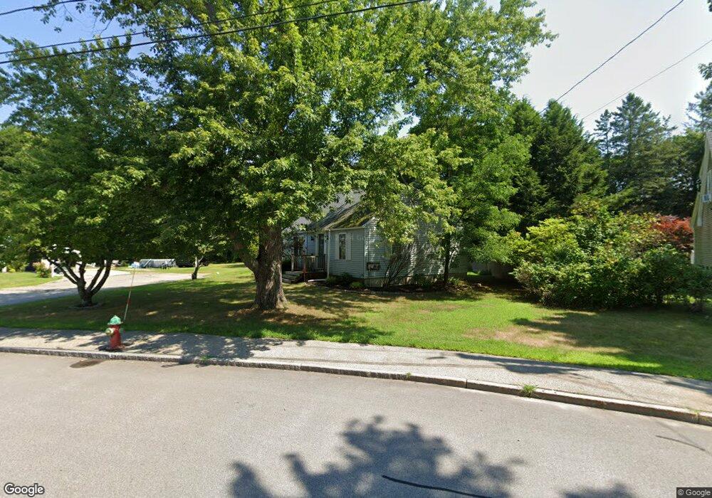
12 Maplecrest St Newmarket, NH 03857
Estimated Value: $418,000 - $520,000
4
Beds
1
Bath
1,392
Sq Ft
$342/Sq Ft
Est. Value
About This Home
This home is located at 12 Maplecrest St, Newmarket, NH 03857 and is currently estimated at $476,244, approximately $342 per square foot. 12 Maplecrest St is a home located in Rockingham County with nearby schools including Newmarket Elementary School, Newmarket Junior High School, and Newmarket Senior High School.
Ownership History
Date
Name
Owned For
Owner Type
Purchase Details
Closed on
Mar 13, 2001
Sold by
Dorothy M Shorey Est
Bought by
Stanley Judy
Current Estimated Value
Home Financials for this Owner
Home Financials are based on the most recent Mortgage that was taken out on this home.
Original Mortgage
$132,300
Outstanding Balance
$44,966
Interest Rate
7.15%
Mortgage Type
Purchase Money Mortgage
Estimated Equity
$431,278
Create a Home Valuation Report for This Property
The Home Valuation Report is an in-depth analysis detailing your home's value as well as a comparison with similar homes in the area
Home Values in the Area
Average Home Value in this Area
Purchase History
| Date | Buyer | Sale Price | Title Company |
|---|---|---|---|
| Stanley Judy | $147,000 | -- |
Source: Public Records
Mortgage History
| Date | Status | Borrower | Loan Amount |
|---|---|---|---|
| Open | Stanley Judy | $132,300 |
Source: Public Records
Tax History
| Year | Tax Paid | Tax Assessment Tax Assessment Total Assessment is a certain percentage of the fair market value that is determined by local assessors to be the total taxable value of land and additions on the property. | Land | Improvement |
|---|---|---|---|---|
| 2025 | $7,976 | $410,700 | $207,300 | $203,400 |
| 2024 | $7,064 | $410,700 | $207,300 | $203,400 |
| 2023 | $7,095 | $240,600 | $118,500 | $122,100 |
| 2022 | $6,494 | $240,600 | $118,500 | $122,100 |
| 2021 | $6,361 | $241,300 | $118,500 | $122,800 |
| 2020 | $6,143 | $241,300 | $118,500 | $122,800 |
| 2018 | $5,029 | $172,000 | $69,800 | $102,200 |
| 2017 | $4,598 | $172,000 | $69,800 | $102,200 |
| 2016 | $4,377 | $172,000 | $69,800 | $102,200 |
| 2015 | $4,293 | $172,000 | $69,800 | $102,200 |
| 2014 | $4,429 | $172,000 | $69,800 | $102,200 |
| 2013 | $4,843 | $198,000 | $74,200 | $123,800 |
| 2012 | $4,687 | $198,000 | $74,200 | $123,800 |
Source: Public Records
Map
Nearby Homes
- 177 Main St Unit 2
- 6 Mount Pleasant St
- 4 Water St
- 26 Amherst Rd
- 33 Elm St
- 125 Main St Unit 60
- 125 Main St Unit 35
- 42 Green Rd
- 38 Green Rd
- 12 Summit Cir
- 0 Pear Tree Ln Unit 9
- 0 Pear Tree Ln Unit 10
- 2 Bass St Unit H
- 26 Smith Garrison Rd
- 21 Langs Ln
- 9 Norton Woods Dr
- 1 Firefly Landing
- 8 Stonewall Way
- 20 Madison Ln
- 503 Cushing Rd
- 10 Maplecrest St
- 14 Maplecrest St
- 3 Maplecrest St
- 8 Maplecrest St
- 5 Maplecrest St
- 16 Maplecrest St
- 7 Maplecrest St
- 1 Maplecrest St
- 6 Maplecrest St
- 18 Maplecrest St
- 9 Maplecrest St
- 27 Maplecrest St
- 4 Maplecrest St
- 23 Maplecrest St
- 20 Maplecrest St
- 11 Maplecrest St
- 48 Maplecrest St
- 21 Maplecrest St
- 224 S Main St
- 2 Maplecrest St
Your Personal Tour Guide
Ask me questions while you tour the home.