12 Marquis Rd Freeport, ME 04032
Estimated Value: $543,000 - $839,000
3
Beds
3
Baths
2,174
Sq Ft
$349/Sq Ft
Est. Value
About This Home
This home is located at 12 Marquis Rd, Freeport, ME 04032 and is currently estimated at $758,842, approximately $349 per square foot. 12 Marquis Rd is a home located in Cumberland County with nearby schools including Morse Street School, Mast Landing School, and Freeport Middle School.
Ownership History
Date
Name
Owned For
Owner Type
Purchase Details
Closed on
Aug 14, 2008
Sold by
Dellenbaugh Caro L and Dellenbaugh Margaret R
Bought by
Kelly Christopher W and Kelly Linda M
Current Estimated Value
Purchase Details
Closed on
Apr 25, 2006
Sold by
Sirva Relocation Llc
Bought by
Dellenbaugh Caro L and Dellenbaugh Margaret R
Home Financials for this Owner
Home Financials are based on the most recent Mortgage that was taken out on this home.
Original Mortgage
$234,500
Interest Rate
6.37%
Mortgage Type
Purchase Money Mortgage
Create a Home Valuation Report for This Property
The Home Valuation Report is an in-depth analysis detailing your home's value as well as a comparison with similar homes in the area
Home Values in the Area
Average Home Value in this Area
Purchase History
| Date | Buyer | Sale Price | Title Company |
|---|---|---|---|
| Kelly Christopher W | -- | -- | |
| Dellenbaugh Caro L | -- | -- |
Source: Public Records
Mortgage History
| Date | Status | Borrower | Loan Amount |
|---|---|---|---|
| Previous Owner | Dellenbaugh Caro L | $234,500 |
Source: Public Records
Tax History Compared to Growth
Tax History
| Year | Tax Paid | Tax Assessment Tax Assessment Total Assessment is a certain percentage of the fair market value that is determined by local assessors to be the total taxable value of land and additions on the property. | Land | Improvement |
|---|---|---|---|---|
| 2024 | $7,886 | $590,700 | $194,200 | $396,500 |
| 2023 | $7,153 | $520,200 | $176,500 | $343,700 |
| 2022 | $6,858 | $502,400 | $158,700 | $343,700 |
| 2021 | $6,707 | $502,400 | $158,700 | $343,700 |
| 2020 | $6,562 | $468,700 | $146,900 | $321,800 |
| 2019 | $6,313 | $441,500 | $138,600 | $302,900 |
| 2018 | $6,184 | $410,900 | $130,500 | $280,400 |
| 2017 | $5,907 | $395,100 | $127,600 | $267,500 |
| 2016 | $5,743 | $363,500 | $115,300 | $248,200 |
Source: Public Records
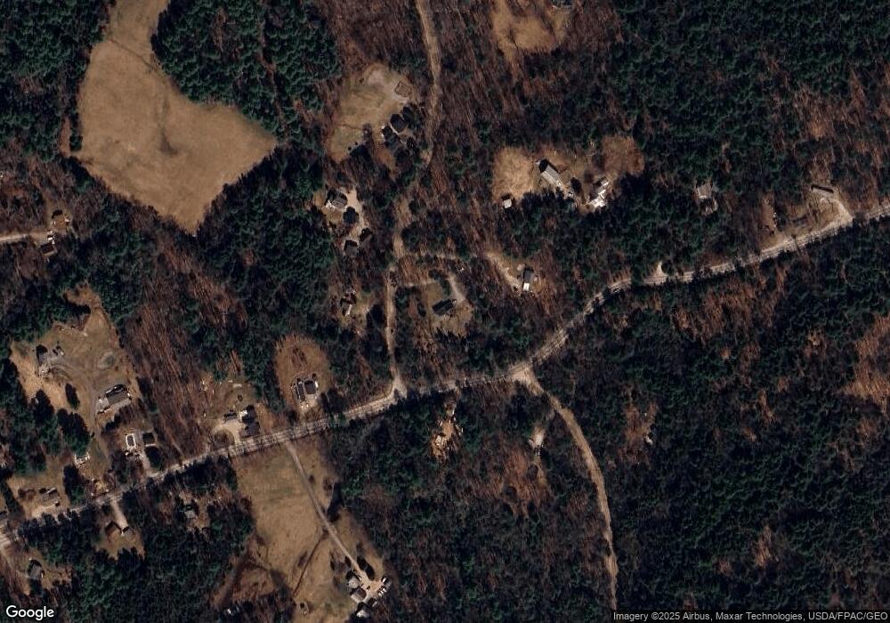
Map
Nearby Homes
- 3 Marquis Rd
- 18 Marquis Rd
- 17 Marquis Rd
- 24 Marquis Rd
- 8 Ringrose Rd
- 7 Bishop Rd
- 31 Marquis Rd
- Lot 26 Marquis Ln
- 97 Pleasant Hill Rd
- 15 Ringrose Rd
- 32 Marquis Rd
- 97 Pleasant Hill
- 52 Ringrose Rd
- 96 Pleasant Hill Rd
- 109 Pleasant Hill Rd
- 92 Pleasant Hill Rd
- 95 Pleasant Hill Rd
- 50 Marquis Rd
- 20 Spinnaker Run
- 115 Pleasant Hill Rd