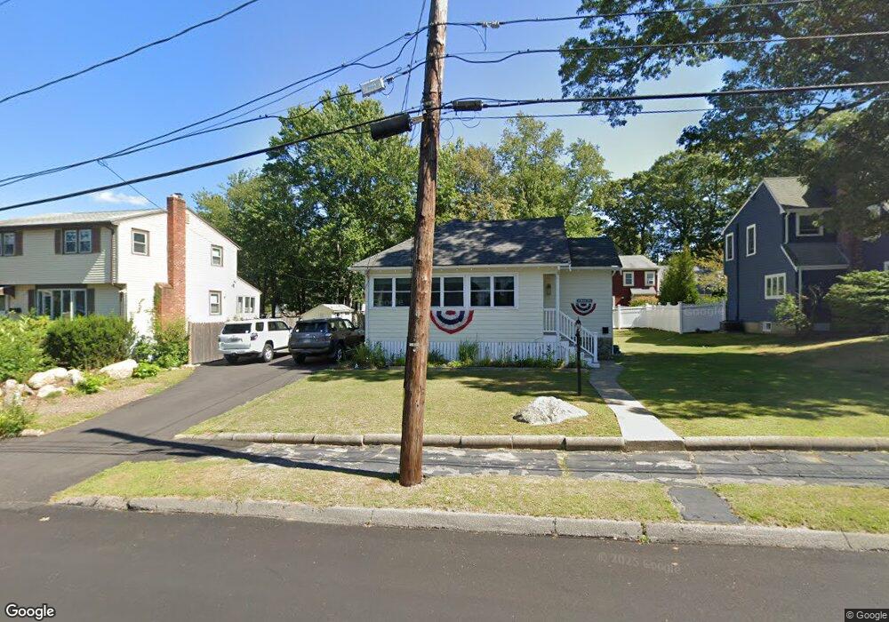
12 Massachusetts Ave Braintree, MA 02184
Braintree Highlands NeighborhoodEstimated Value: $525,000 - $594,261
2
Beds
1
Bath
1,035
Sq Ft
$538/Sq Ft
Est. Value
About This Home
This home is located at 12 Massachusetts Ave, Braintree, MA 02184 and is currently estimated at $556,565, approximately $537 per square foot. 12 Massachusetts Ave is a home located in Norfolk County with nearby schools including Braintree High School, Boston Higashi School, and Lighthouse Baptist Christian Academy.
Ownership History
Date
Name
Owned For
Owner Type
Purchase Details
Closed on
Dec 16, 2015
Sold by
Whalen Thomas F
Bought by
Whalen Thomas F and Kelly Jean M
Current Estimated Value
Purchase Details
Closed on
Oct 4, 1995
Sold by
Whalen Thomas F and Whalen Agnes M
Bought by
Whalen Thomas F
Home Financials for this Owner
Home Financials are based on the most recent Mortgage that was taken out on this home.
Original Mortgage
$90,000
Interest Rate
7.86%
Mortgage Type
Purchase Money Mortgage
Create a Home Valuation Report for This Property
The Home Valuation Report is an in-depth analysis detailing your home's value as well as a comparison with similar homes in the area
Home Values in the Area
Average Home Value in this Area
Purchase History
| Date | Buyer | Sale Price | Title Company |
|---|---|---|---|
| Whalen Thomas F | -- | -- | |
| Whalen Thomas F | $30,000 | -- |
Source: Public Records
Mortgage History
| Date | Status | Borrower | Loan Amount |
|---|---|---|---|
| Previous Owner | Whalen Thomas F | $90,000 |
Source: Public Records
Tax History
| Year | Tax Paid | Tax Assessment Tax Assessment Total Assessment is a certain percentage of the fair market value that is determined by local assessors to be the total taxable value of land and additions on the property. | Land | Improvement |
|---|---|---|---|---|
| 2025 | $5,497 | $550,800 | $360,000 | $190,800 |
| 2024 | $4,955 | $522,700 | $337,500 | $185,200 |
| 2023 | $4,551 | $466,300 | $297,000 | $169,300 |
| 2022 | $4,371 | $439,300 | $270,000 | $169,300 |
| 2021 | $3,734 | $375,300 | $227,700 | $147,600 |
| 2020 | $3,647 | $369,900 | $227,700 | $142,200 |
| 2019 | $3,549 | $351,700 | $227,700 | $124,000 |
| 2018 | $3,349 | $317,700 | $198,000 | $119,700 |
| 2017 | $3,219 | $299,700 | $180,000 | $119,700 |
| 2016 | $3,014 | $274,500 | $162,000 | $112,500 |
| 2015 | $2,957 | $267,100 | $158,400 | $108,700 |
| 2014 | $2,906 | $254,500 | $145,800 | $108,700 |
Source: Public Records
Map
Nearby Homes
- 1579 Washington St
- 15 Alida Rd
- 661 North St
- 70 Alida Rd
- 700 North St
- 1696 Liberty St
- 12 Brewster Rd
- 39 Canavan Dr
- 18 Brewster Rd
- 23 Portland Rd
- 129 Albee Dr
- 469 North St
- 8 Dianthus Rd
- 614 Pond St Unit 2104
- 80 Lake St
- 4 Powdrell Ave
- 6 Lunar Ave
- 29 Saint Michael Rd
- 145 Hancock St Unit 307
- 145 Hancock St Unit 309
- 6 Massachusetts Ave
- 18 Massachusetts Ave
- 15 Standish Ave
- 21 Standish Ave
- 1712 Washington St
- 1724 Washington St
- 19 Massachusetts Ave
- 1703 Washington St Unit 1703
- 1703 Washington St Unit 1703
- 35 Standish Ave
- 25 Massachusetts Ave
- 28 Massachusetts Ave
- 18 Standish Ave
- 1738 Washington St
- 28 Standish Ave
- 32 Massachusetts Ave
- 6 Winthrop Ave
- 1721 Washington St
- 16 Park Ave
- 31 Massachusetts Ave
Your Personal Tour Guide
Ask me questions while you tour the home.