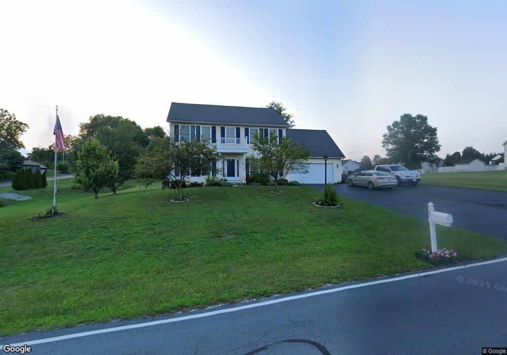
12 Mayers Blvd Unit 41 Littlestown, PA 17340
Estimated Value: $450,835 - $504,000
4
Beds
3
Baths
2,287
Sq Ft
$210/Sq Ft
Est. Value
About This Home
This home is located at 12 Mayers Blvd Unit 41, Littlestown, PA 17340 and is currently estimated at $480,709, approximately $210 per square foot. 12 Mayers Blvd Unit 41 is a home located in Adams County with nearby schools including Rolling Acres El School, Maple Avenue Middle School, and Littlestown Senior High School.
Ownership History
Date
Name
Owned For
Owner Type
Purchase Details
Closed on
Nov 12, 2003
Bought by
Pierson Richard L and Pierson Della G
Current Estimated Value
Create a Home Valuation Report for This Property
The Home Valuation Report is an in-depth analysis detailing your home's value as well as a comparison with similar homes in the area
Home Values in the Area
Average Home Value in this Area
Purchase History
| Date | Buyer | Sale Price | Title Company |
|---|---|---|---|
| Pierson Richard L | $242,000 | -- |
Source: Public Records
Tax History Compared to Growth
Tax History
| Year | Tax Paid | Tax Assessment Tax Assessment Total Assessment is a certain percentage of the fair market value that is determined by local assessors to be the total taxable value of land and additions on the property. | Land | Improvement |
|---|---|---|---|---|
| 2025 | $5,767 | $304,700 | $83,100 | $221,600 |
| 2024 | $5,544 | $304,700 | $83,100 | $221,600 |
| 2023 | $5,404 | $304,700 | $83,100 | $221,600 |
| 2022 | $5,365 | $304,700 | $83,100 | $221,600 |
| 2021 | $5,174 | $304,700 | $83,100 | $221,600 |
| 2020 | $5,099 | $304,700 | $83,100 | $221,600 |
| 2019 | $4,990 | $304,700 | $83,100 | $221,600 |
| 2018 | $4,841 | $304,700 | $83,100 | $221,600 |
| 2017 | $4,690 | $304,700 | $83,100 | $221,600 |
| 2016 | -- | $304,700 | $83,100 | $221,600 |
| 2015 | -- | $304,700 | $83,100 | $221,600 |
| 2014 | -- | $304,700 | $83,100 | $221,600 |
Source: Public Records
Map
Nearby Homes
- 241 M St
- 22 Cemetery St
- 893 Georgetown Rd
- 15 Yorktowne Ct Unit 97
- 535 Lumber St
- 559 Lumber St
- 61 E King St
- 567 Lumber St
- 117 Charles St
- 115 Charles St
- 106 E King St
- LOT 9 Mehring Rd
- 2100 Blacks School House Rd
- 22 Rita Marie Ave
- 41 Smith Cir
- 140 Apple Grove Ln Unit 425
- 43 Ashfield Dr Unit 14
- 2199 Blacks School House Rd
- 162 Newark St
- 440 N Queen St
- #4 Marcey Ct
- 11 Mayers Blvd Unit 1
- 10 W Summit Dr Unit 40
- 7 E Summit Dr Unit 2
- 20 W Summit Dr Unit 39
- 6265 Baltimore Pike
- 6320 Baltimore Pike
- 28 W Summit Dr Unit 38B
- 6149 Baltimore Pike
- 5 W Summit Dr Unit 44
- 6242 Baltimore Pike
- 19 E Summit Dr Unit 3
- 15 W Summit Dr Unit 43
- 6232 Baltimore Pike
- 36 W Summit Dr
- 140 E Summit Dr Unit 42
- 6237 Baltimore Pike
- 29 E Summit Dr Unit 4
- 22 E Summit Dr Unit 46