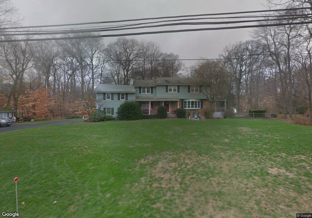
12 Mayflower Rd Norwalk, CT 06850
Silvermine NeighborhoodEstimated Value: $978,000 - $1,053,875
4
Beds
3
Baths
3,085
Sq Ft
$331/Sq Ft
Est. Value
About This Home
This home is located at 12 Mayflower Rd, Norwalk, CT 06850 and is currently estimated at $1,019,969, approximately $330 per square foot. 12 Mayflower Rd is a home located in Fairfield County with nearby schools including Silvermine Elementary School, West Rocks Middle School, and Norwalk High School.
Ownership History
Date
Name
Owned For
Owner Type
Purchase Details
Closed on
Jan 19, 2021
Sold by
King Ralph A and King Joan M
Bought by
King Ralph A and King Joan M
Current Estimated Value
Purchase Details
Closed on
Feb 26, 1973
Bought by
King Ralph A Z and King Joan M
Create a Home Valuation Report for This Property
The Home Valuation Report is an in-depth analysis detailing your home's value as well as a comparison with similar homes in the area
Home Values in the Area
Average Home Value in this Area
Purchase History
| Date | Buyer | Sale Price | Title Company |
|---|---|---|---|
| King Ralph A | -- | None Available | |
| King Ralph A | -- | None Available | |
| King Ralph A Z | -- | -- |
Source: Public Records
Mortgage History
| Date | Status | Borrower | Loan Amount |
|---|---|---|---|
| Previous Owner | King Ralph A Z | $100,000 | |
| Previous Owner | King Ralph A Z | $270,000 | |
| Previous Owner | King Ralph A Z | $100,000 |
Source: Public Records
Tax History
| Year | Tax Paid | Tax Assessment Tax Assessment Total Assessment is a certain percentage of the fair market value that is determined by local assessors to be the total taxable value of land and additions on the property. | Land | Improvement |
|---|---|---|---|---|
| 2025 | $12,997 | $547,470 | $210,250 | $337,220 |
| 2024 | $12,797 | $547,470 | $210,250 | $337,220 |
| 2023 | $11,540 | $462,230 | $192,910 | $269,320 |
| 2022 | $11,359 | $462,230 | $192,910 | $269,320 |
| 2021 | $9,665 | $462,230 | $192,910 | $269,320 |
| 2020 | $10,911 | $462,230 | $192,910 | $269,320 |
| 2019 | $10,538 | $462,230 | $192,910 | $269,320 |
| 2018 | $10,515 | $405,520 | $173,930 | $231,590 |
| 2017 | $9,453 | $405,520 | $173,930 | $231,590 |
| 2016 | $10,316 | $405,520 | $173,930 | $231,590 |
| 2015 | $9,266 | $405,520 | $173,930 | $231,590 |
| 2014 | $10,154 | $405,520 | $173,930 | $231,590 |
Source: Public Records
Map
Nearby Homes
- 300 Buttery Rd
- 106A Comstock Hill Ave
- 135 Comstock Hill Rd
- 239 Silvermine Ave
- 10 Purdy Rd
- 4 Nursery St
- 33 Purdy Rd E
- 37 Glen Ave
- 89 Pastures Ln
- 403 Silver Creek Ln
- 158L Carter St
- 16 Cornwall Rd
- 152L Carter St
- 140L Carter St
- 136L Carter St
- 48 Green Meadow Ln
- 158 N Seir Hill Rd
- 80 Broad St
- 73 Old Kings Hwy
- 67 Carter St
- 48 Silver Ridge Rd
- 14 Mayflower Rd
- 58 Silver Ridge Rd
- 10 Mayflower Rd
- 11 Mayflower Rd
- 7 Mayflower Rd
- 78 Silver Ridge Rd
- 15 Inwood Rd
- 11 Inwood Rd
- 8 Mayflower Rd
- 3 Inwood Rd
- 5 Mayflower Rd
- 45 Silver Ridge Rd
- 35 Silver Ridge Rd
- 5 Inwood Rd
- 61 Silver Ridge Rd
- 6 Mayflower Rd
- 71 Silver Ridge Rd
- 9 Inwood Rd
- 10 Silver Ridge Rd
Your Personal Tour Guide
Ask me questions while you tour the home.