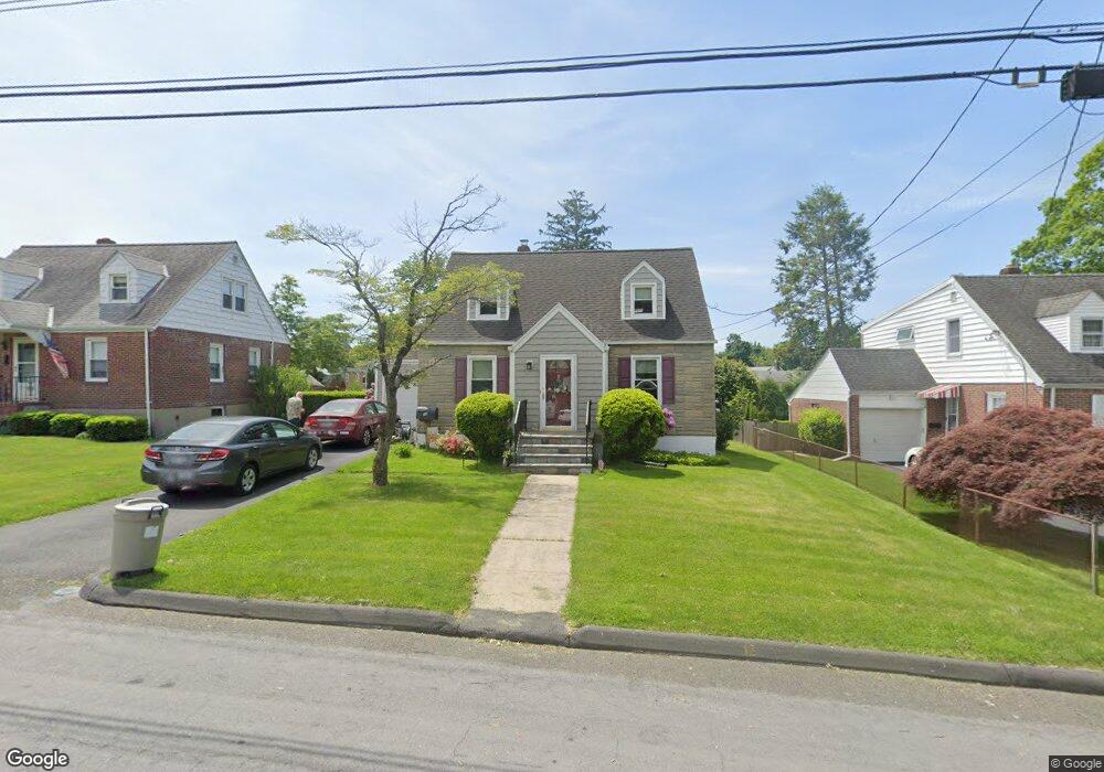
12 Maywood Ave Port Chester, NY 10573
Estimated Value: $618,000 - $814,000
2
Beds
2
Baths
1,050
Sq Ft
$645/Sq Ft
Est. Value
About This Home
This home is located at 12 Maywood Ave, Port Chester, NY 10573 and is currently estimated at $677,034, approximately $644 per square foot. 12 Maywood Ave is a home located in Westchester County with nearby schools including Port Chester Senior High School, Corpus Christi Holy Rosary School, and Westchester Fairfield Hebrew A.
Ownership History
Date
Name
Owned For
Owner Type
Purchase Details
Closed on
Jun 21, 1999
Sold by
Gervase Steven and Pierce Debbie
Bought by
Cushman Robert A and Cushman Kathryn S
Current Estimated Value
Home Financials for this Owner
Home Financials are based on the most recent Mortgage that was taken out on this home.
Original Mortgage
$182,400
Interest Rate
7.78%
Purchase Details
Closed on
Jul 25, 1997
Sold by
Rapaport Amy E and Frey Kevin C
Bought by
Gervase Steven and Pierce Debbie
Create a Home Valuation Report for This Property
The Home Valuation Report is an in-depth analysis detailing your home's value as well as a comparison with similar homes in the area
Home Values in the Area
Average Home Value in this Area
Purchase History
| Date | Buyer | Sale Price | Title Company |
|---|---|---|---|
| Cushman Robert A | $228,000 | Stewart Title Insurance Co | |
| Gervase Steven | $221,000 | Stewart Title Insurance Co |
Source: Public Records
Mortgage History
| Date | Status | Borrower | Loan Amount |
|---|---|---|---|
| Previous Owner | Cushman Robert A | $182,400 |
Source: Public Records
Tax History Compared to Growth
Tax History
| Year | Tax Paid | Tax Assessment Tax Assessment Total Assessment is a certain percentage of the fair market value that is determined by local assessors to be the total taxable value of land and additions on the property. | Land | Improvement |
|---|---|---|---|---|
| 2024 | $11,403 | $552,700 | $201,000 | $351,700 |
| 2023 | $9,496 | $531,400 | $191,500 | $339,900 |
| 2022 | $9,880 | $483,100 | $191,500 | $291,600 |
| 2021 | $10,351 | $447,300 | $191,500 | $255,800 |
| 2020 | $7,374 | $447,300 | $191,500 | $255,800 |
| 2019 | $9,819 | $362,300 | $169,800 | $192,500 |
| 2018 | $5,773 | $353,800 | $162,900 | $190,900 |
| 2017 | $1,469 | $344,600 | $157,700 | $186,900 |
| 2016 | $6,964 | $346,900 | $165,900 | $181,000 |
| 2015 | -- | $322,000 | $150,200 | $171,800 |
| 2014 | -- | $335,400 | $145,700 | $189,700 |
| 2013 | -- | $344,700 | $148,100 | $196,600 |
Source: Public Records
Map
Nearby Homes
- 10 Maywood Ave
- 15 Maywood Ave
- 180 Fairview Ave
- 11 Whittemore Place
- 27 Avon Cir Unit C
- 10 Irenhyl Ave
- 22 Breckenridge Ave
- 22 Ridge Blvd
- 431 Irving Ave
- 485 Westchester Ave
- 9 Wilton Rd
- 24 Park Place
- 494 Franklin St
- 80 Valley Terrace
- 413 Franklin St
- 410 Westchester Ave Unit 202
- 395 Westchester Ave Unit LC
- 395 Westchester Ave Unit 3A
- 60 Lafayette Dr
- 90 Windsor Rd
- 14 Maywood Ave
- 16 Maywood Ave
- 8 Maywood Ave
- 235 Irenhyl Ave
- 237 Irenhyl Ave
- 229 Irenhyl Ave
- 11 Maywood Ave
- 13 Maywood Ave
- 9 Maywood Ave
- 18 Maywood Ave
- 6 Maywood Ave
- 245 Irenhyl Ave
- 7 Maywood Ave
- 223 Irenhyl Ave
- 249 Irenhyl Ave
- 20 Maywood Ave
- 17 Maywood Ave
- 4 Maywood Ave
- 5 Maywood Ave
- 219 Irenhyl Ave