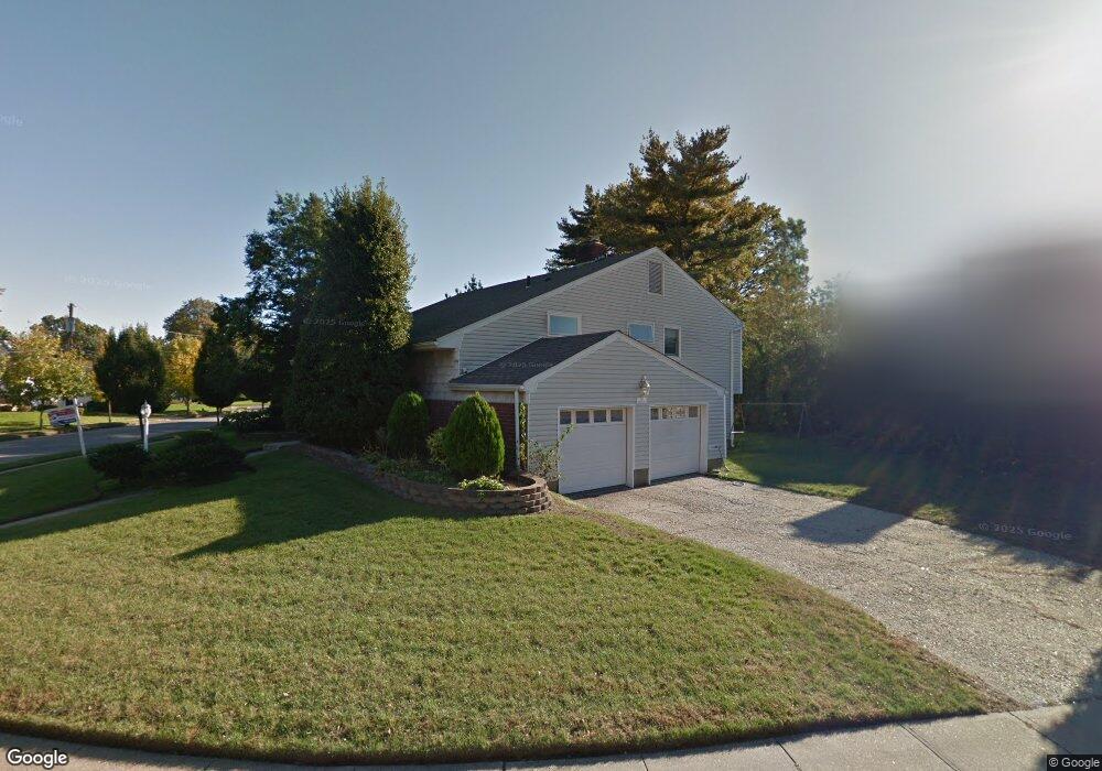
12 Meadow Ln Freeport, NY 11520
Estimated Value: $799,212 - $813,000
4
Beds
4
Baths
2,362
Sq Ft
$341/Sq Ft
Est. Value
About This Home
This home is located at 12 Meadow Ln, Freeport, NY 11520 and is currently estimated at $806,106, approximately $341 per square foot. 12 Meadow Ln is a home located in Nassau County with nearby schools including Baldwin Senior High School and Roosevelt Children's Academy.
Ownership History
Date
Name
Owned For
Owner Type
Purchase Details
Closed on
Mar 14, 2019
Sold by
Mange Ram and Ram Seerojnie
Bought by
Dale Natasha
Current Estimated Value
Home Financials for this Owner
Home Financials are based on the most recent Mortgage that was taken out on this home.
Original Mortgage
$420,000
Outstanding Balance
$368,499
Interest Rate
4.3%
Mortgage Type
New Conventional
Estimated Equity
$437,607
Purchase Details
Closed on
Dec 19, 2013
Sold by
Broughton Charles H and Smith Broughton Kimberly A
Bought by
Mohan Seerojnie and Ram Mange
Purchase Details
Closed on
Oct 5, 1995
Sold by
Pollack Ann
Bought by
Broughton Charles and Smith-Broughton Kimberley
Home Financials for this Owner
Home Financials are based on the most recent Mortgage that was taken out on this home.
Original Mortgage
$165,000
Interest Rate
7.6%
Create a Home Valuation Report for This Property
The Home Valuation Report is an in-depth analysis detailing your home's value as well as a comparison with similar homes in the area
Home Values in the Area
Average Home Value in this Area
Purchase History
| Date | Buyer | Sale Price | Title Company |
|---|---|---|---|
| Dale Natasha | $560,000 | None Available | |
| Mohan Seerojnie | $352,000 | -- | |
| Broughton Charles | $195,000 | -- |
Source: Public Records
Mortgage History
| Date | Status | Borrower | Loan Amount |
|---|---|---|---|
| Open | Dale Natasha | $420,000 | |
| Previous Owner | Broughton Charles | $165,000 |
Source: Public Records
Tax History Compared to Growth
Tax History
| Year | Tax Paid | Tax Assessment Tax Assessment Total Assessment is a certain percentage of the fair market value that is determined by local assessors to be the total taxable value of land and additions on the property. | Land | Improvement |
|---|---|---|---|---|
| 2025 | $11,900 | $490 | $158 | $332 |
| 2024 | $1,041 | $503 | $163 | $340 |
| 2023 | $11,153 | $524 | $212 | $312 |
| 2022 | $11,153 | $532 | $172 | $360 |
| 2021 | $16,414 | $543 | $176 | $367 |
| 2020 | $11,535 | $655 | $514 | $141 |
| 2019 | $1,165 | $702 | $399 | $303 |
| 2018 | $1,664 | $969 | $0 | $0 |
| 2017 | $11,664 | $969 | $551 | $418 |
| 2016 | $13,118 | $969 | $551 | $418 |
| 2015 | $1,097 | $969 | $551 | $418 |
| 2014 | $1,097 | $969 | $551 | $418 |
| 2013 | $1,043 | $969 | $551 | $418 |
Source: Public Records
Map
Nearby Homes
- 174 Delaware Ave
- 1 Willowbrook Ln
- 396 Maryland Ave
- 154 California Ave
- 319 Maryland Ave
- 142 Maryland Ave
- 187 Moore Ave
- 107 California Ave
- 1014 Kings Pkwy
- 139 New York Ave
- 152 Evans Ave
- 156 Brookside Ave
- 3 Maple Dr
- 89 Delaware Ave
- 1850 Voshage St
- 915 Wallace Ave
- 215 N Brookside Ave
- 1515 Paul St
- 345 W Seaman Ave
- 1459 Prince St