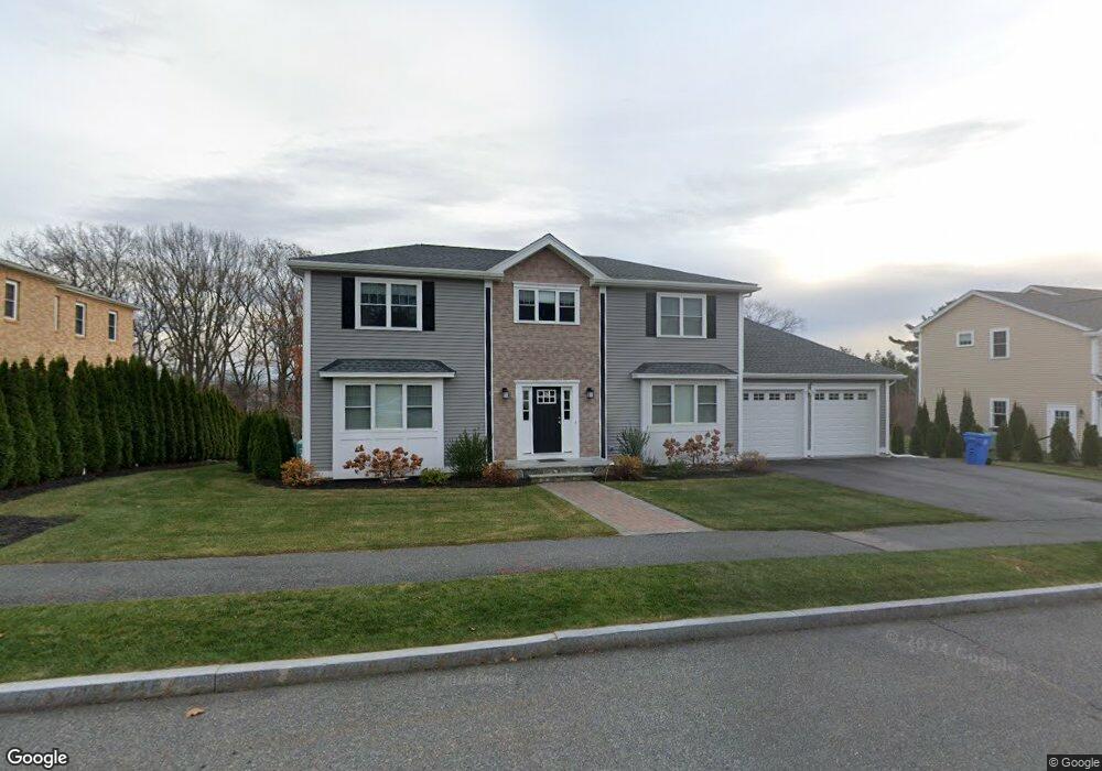
12 Michaelchris Dr Waltham, MA 02452
North Waltham NeighborhoodEstimated Value: $1,458,000 - $1,855,755
4
Beds
3
Baths
4,368
Sq Ft
$376/Sq Ft
Est. Value
About This Home
This home is located at 12 Michaelchris Dr, Waltham, MA 02452 and is currently estimated at $1,642,689, approximately $376 per square foot. 12 Michaelchris Dr is a home located in Middlesex County with nearby schools including Northeast Elementary School, John F Kennedy Middle School, and Waltham Sr High School.
Ownership History
Date
Name
Owned For
Owner Type
Purchase Details
Closed on
May 8, 2019
Sold by
9 Acres Development Llc
Bought by
12 Michaelchris Drive Llc
Current Estimated Value
Create a Home Valuation Report for This Property
The Home Valuation Report is an in-depth analysis detailing your home's value as well as a comparison with similar homes in the area
Home Values in the Area
Average Home Value in this Area
Purchase History
| Date | Buyer | Sale Price | Title Company |
|---|---|---|---|
| 12 Michaelchris Drive Llc | -- | -- |
Source: Public Records
Property History
| Date | Event | Price | List to Sale | Price per Sq Ft |
|---|---|---|---|---|
| 09/01/2024 09/01/24 | For Rent | $7,000 | -- | -- |
Tax History
| Year | Tax Paid | Tax Assessment Tax Assessment Total Assessment is a certain percentage of the fair market value that is determined by local assessors to be the total taxable value of land and additions on the property. | Land | Improvement |
|---|---|---|---|---|
| 2025 | $16,058 | $1,635,200 | $529,200 | $1,106,000 |
| 2024 | $14,284 | $1,481,700 | $505,900 | $975,800 |
| 2023 | $13,881 | $1,345,100 | $459,400 | $885,700 |
| 2022 | $14,674 | $1,317,200 | $459,400 | $857,800 |
| 2021 | $14,150 | $1,250,000 | $440,800 | $809,200 |
| 2020 | $14,471 | $1,211,000 | $443,700 | $767,300 |
| 2019 | $5,039 | $435,700 | $435,700 | $0 |
| 2018 | $5,091 | $403,700 | $403,700 | $0 |
| 2017 | $4,380 | $348,700 | $348,700 | $0 |
| 2016 | $3,962 | $323,700 | $323,700 | $0 |
| 2015 | $3,391 | $258,300 | $258,300 | $0 |
Source: Public Records
Map
Nearby Homes
- 345 Bishops Forest Dr
- 170 Clocktower Dr Unit 103
- 86 Indian Rd
- 501 Lexington St Unit 11
- 203 College Farm Rd
- 12 Curve St
- 1105 Lexington St Unit 6-4
- 49 Lincoln St
- 28 Hillcrest St
- 89 Hardy Pond Rd
- 16 Winter St Unit 26C
- 44 Lakeview Terrace
- 21 Lakeview Ave
- 50 Worcester Ln
- 8 Dobbins St
- 100 Shirley Rd
- 353 Concord Ave
- 15 Cedarcroft Ln
- 11 Autumn Ln
- 9 April Ln Unit 9
- 12 Michaelchris Dr
- 12 Michaelchris Dr
- 6 Michaelchris Dr
- 20 Michaelchris Dr
- 50 Matthew Ln
- Lot 8 Matthew Ln
- 16 Matthew Ln
- 44 Matthew Ln
- 4 Matthew Ln
- 5 Matthew Ln
- 9 Matthew Ln
- 3 Matthew Ln
- 2 Matthew Ln
- 1 Matthew Ln
- Lot 2A Matthew Ln
- 35 Matthew Ln
- 15 Matthew Ln
- 41 Matthew Ln
- 26 Michaelchris Dr
- 27 Matthew Ln
Your Personal Tour Guide
Ask me questions while you tour the home.