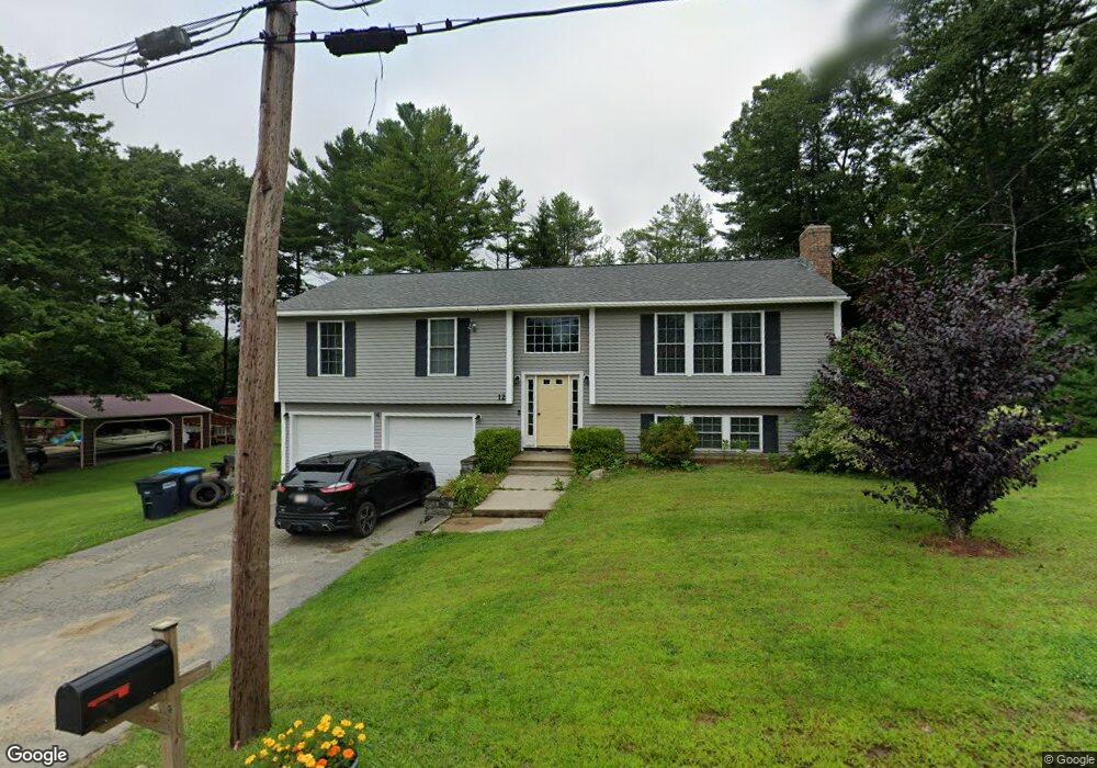
12 Miles Rd Rutland, MA 01543
3
Beds
3
Baths
1,449
Sq Ft
0.56
Acres
About This Home
This home is located at 12 Miles Rd, Rutland, MA 01543. 12 Miles Rd is a home located in Worcester County with nearby schools including Wachusett Regional High School.
Create a Home Valuation Report for This Property
The Home Valuation Report is an in-depth analysis detailing your home's value as well as a comparison with similar homes in the area
Home Values in the Area
Average Home Value in this Area
Tax History Compared to Growth
Map
Nearby Homes
- 5 Miles Rd
- 55 Pommogussett Rd
- 32 Pommogussett Rd Unit 1
- 10 Soucy Dr
- 25 Watson Ln
- 16 Richards Ave
- 28 Forest Hill Dr
- 11 Lewis St
- 21 Lewis St
- 6 Lewis St
- 12 Lewis St
- 27 Lewis St
- 40 Brunelle Dr
- 47 Woodside Ave
- 2 Forest Hill Dr
- 51 Woodside Ave
- 10 Fidelity Dr Unit 5
- 12 Fidelity Dr Unit 6
- 132 Fidelity Dr Unit 61
- 85 Maple Ave Unit A
- 14 Miles Rd
- 9 Miles Rd
- 8 Miles Rd
- 16 Miles Rd
- 17 Miles Rd
- 43 Pommogussett Rd
- 15 Miles Rd
- 18 Miles Rd
- 19 Miles Rd
- 46 Pommogussett Rd
- 48 Pommogussett Rd
- 51 Pommogussett Rd
- Lot 1&3 Moulton Mill Rd
- 50 Pommogussett Rd
- 1 Moulton Mill Rd
- 3 Moulton Mill Rd
- 21 Miles Rd
- 40 Pommogussett Rd
- Lot 1-S Maple Ave
- Lot 1 Maple Ave