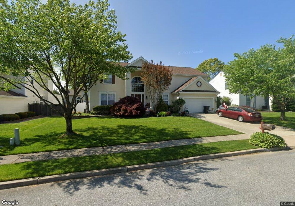
12 Millstone Dr Sewell, NJ 08080
Estimated Value: $523,000 - $608,000
Studio
--
Bath
2,752
Sq Ft
$206/Sq Ft
Est. Value
About This Home
This home is located at 12 Millstone Dr, Sewell, NJ 08080 and is currently estimated at $566,941, approximately $206 per square foot. 12 Millstone Dr is a home located in Gloucester County with nearby schools including Washington Township High School, Wedgwood Elementary School, and Chestnut Ridge Midle School.
Ownership History
Date
Name
Owned For
Owner Type
Purchase Details
Closed on
Nov 19, 2010
Sold by
Strosser Joseph B
Bought by
Strosser Joseph B and Strosser Carol A
Current Estimated Value
Home Financials for this Owner
Home Financials are based on the most recent Mortgage that was taken out on this home.
Original Mortgage
$145,000
Interest Rate
4.4%
Mortgage Type
New Conventional
Purchase Details
Closed on
Mar 13, 1998
Sold by
Strosser Joseph B and Strosser Donna M
Bought by
Strosser Joseph B
Create a Home Valuation Report for This Property
The Home Valuation Report is an in-depth analysis detailing your home's value as well as a comparison with similar homes in the area
Home Values in the Area
Average Home Value in this Area
Purchase History
| Date | Buyer | Sale Price | Title Company |
|---|---|---|---|
| Strosser Joseph B | -- | None Available | |
| Strosser Joseph B | -- | Congress Title Corp |
Source: Public Records
Mortgage History
| Date | Status | Borrower | Loan Amount |
|---|---|---|---|
| Closed | Strosser Joseph B | $145,000 |
Source: Public Records
Tax History
| Year | Tax Paid | Tax Assessment Tax Assessment Total Assessment is a certain percentage of the fair market value that is determined by local assessors to be the total taxable value of land and additions on the property. | Land | Improvement |
|---|---|---|---|---|
| 2025 | $12,295 | $332,400 | $67,100 | $265,300 |
| 2024 | $11,950 | $332,400 | $67,100 | $265,300 |
| 2023 | $11,950 | $332,400 | $67,100 | $265,300 |
| 2022 | $11,558 | $332,400 | $67,100 | $265,300 |
| 2021 | $8,515 | $332,400 | $67,100 | $265,300 |
| 2020 | $11,238 | $332,400 | $67,100 | $265,300 |
| 2019 | $11,216 | $307,700 | $52,100 | $255,600 |
| 2018 | $11,090 | $307,700 | $52,100 | $255,600 |
| 2017 | $10,951 | $307,700 | $52,100 | $255,600 |
| 2016 | $10,886 | $307,700 | $52,100 | $255,600 |
| 2015 | $10,733 | $307,700 | $52,100 | $255,600 |
| 2014 | $10,394 | $307,700 | $52,100 | $255,600 |
Source: Public Records
Map
Nearby Homes
- 445 Hurffville Grenloch Rd
- 24 Upton Way
- 325 Wilson Rd
- 9 Bryant Rd
- 5 Greenleigh Cir
- 224 Wilson Rd
- 565 Cambridge Rd
- 139 Fairmount Ave
- 10 Frankford Ave
- 143 Fairmount Ave
- 531 Estelle Ave
- 555 Loch Lomond Dr
- 342 Dearborne Ave
- 118 Cressmont Ave
- 319 Drexel Ave
- 149 Greentree Rd
- 300 Cressmont Ave
- 1 Caserta Dr
- 0 Evergreen Ave
- 342 Cressmont Ave
- 10 Millstone Dr
- 14 Millstone Dr
- 7 Winfield Cir
- 9 Winfield Cir
- 8 Millstone Dr
- 16 Millstone Dr
- 5 Winfield Cir
- 13 Millstone Dr
- 11 Millstone Dr
- 15 Millstone Dr
- 11 Winfield Cir
- 18 Millstone Dr
- 6 Millstone Dr
- 9 Millstone Dr
- 17 Millstone Dr
- 3 Winfield Cir
- 19 Millstone Dr
- 7 Millstone Dr
- 13 Winfield Cir
- 20 Millstone Dr
Your Personal Tour Guide
Ask me questions while you tour the home.