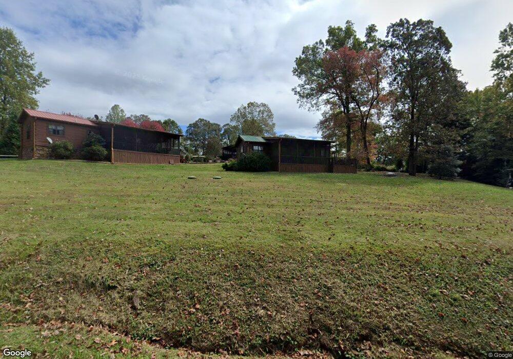
12 Moccasin Trail Blairsville, GA 30512
Estimated Value: $149,000 - $228,000
1
Bed
1
Bath
408
Sq Ft
$473/Sq Ft
Est. Value
About This Home
This home is located at 12 Moccasin Trail, Blairsville, GA 30512 and is currently estimated at $193,134, approximately $473 per square foot. 12 Moccasin Trail is a home with nearby schools including Union County Primary School, Union County Elementary School, and Union County Middle School.
Ownership History
Date
Name
Owned For
Owner Type
Purchase Details
Closed on
Mar 22, 2021
Sold by
Shiftlett Mark W
Bought by
Swepson Ian and Sewpson Ian
Current Estimated Value
Purchase Details
Closed on
Dec 2, 2016
Sold by
Smith Charles M and Smith Janice G
Bought by
Shiftlett Mark W and Cook Roxanne N
Purchase Details
Closed on
Apr 10, 2006
Sold by
Choestoe Development Corp
Bought by
Smith Charles M and Smith Janice G
Home Financials for this Owner
Home Financials are based on the most recent Mortgage that was taken out on this home.
Original Mortgage
$73,744
Interest Rate
6.29%
Mortgage Type
New Conventional
Create a Home Valuation Report for This Property
The Home Valuation Report is an in-depth analysis detailing your home's value as well as a comparison with similar homes in the area
Home Values in the Area
Average Home Value in this Area
Purchase History
| Date | Buyer | Sale Price | Title Company |
|---|---|---|---|
| Swepson Ian | $95,000 | -- | |
| Shiftlett Mark W | $855,500 | -- | |
| Smith Charles M | $90,404 | -- |
Source: Public Records
Mortgage History
| Date | Status | Borrower | Loan Amount |
|---|---|---|---|
| Previous Owner | Smith Charles M | $73,744 |
Source: Public Records
Tax History Compared to Growth
Tax History
| Year | Tax Paid | Tax Assessment Tax Assessment Total Assessment is a certain percentage of the fair market value that is determined by local assessors to be the total taxable value of land and additions on the property. | Land | Improvement |
|---|---|---|---|---|
| 2024 | $732 | $61,960 | $10,400 | $51,560 |
| 2023 | $813 | $61,080 | $10,400 | $50,680 |
| 2022 | $506 | $52,040 | $10,400 | $41,640 |
| 2021 | $697 | $44,200 | $10,400 | $33,800 |
| 2020 | $537 | $28,400 | $10,880 | $17,520 |
| 2019 | $508 | $28,400 | $10,880 | $17,520 |
| 2018 | $499 | $28,400 | $10,880 | $17,520 |
| 2017 | $499 | $28,400 | $10,880 | $17,520 |
| 2016 | $499 | $28,400 | $10,880 | $17,520 |
| 2015 | $503 | $28,400 | $10,880 | $17,520 |
| 2013 | -- | $28,400 | $10,880 | $17,520 |
Source: Public Records
Map
Nearby Homes
- 74 Frontier Way
- 33 Frontier Way Unit 13
- 33 Frontier Way
- Lot 13 Wilderness Ridge Sub
- 275 Everetts View
- 397 Everetts View
- 160 Largen Rd
- 74 Timber Ln
- L2&3 Crab Apple Rd
- 77 Alpine Way
- 206 Timbergate Trail
- 192 Misty Morning Dr
- 33 Dover Rd
- 16 Misty Mountain Ln
- 75 Cloud Springs Ln
- 55 Misty Mountain Ln
- 105 Hidden Valley Acres
- LL321 Turkey Trot
- 0 Trackrock Gap Rd Unit 419584
- 0 Trackrock Gap Rd Unit 10554661
- 0 Moccasin Trail
- 30 Moccasin Trail
- 25 Moccasin Trail
- 17 Moccasin Trail
- 19 Moccasin Trail
- 52 Frontier Way
- 31 Moccasin Trail
- 31 Frontier Way
- 13 Frontier Way
- 2 Frontier Way
- 38 Frontier Way
- 76 Frontier Way
- 52 Hunter's Path
- 52 Hunters Path
- 32 Frontier Way
- 32 Frontier Way Unit 1
- 19 Frontier Way
- 10 Hunters Path
- 10 Hunters Path
- 30 Hunters Path