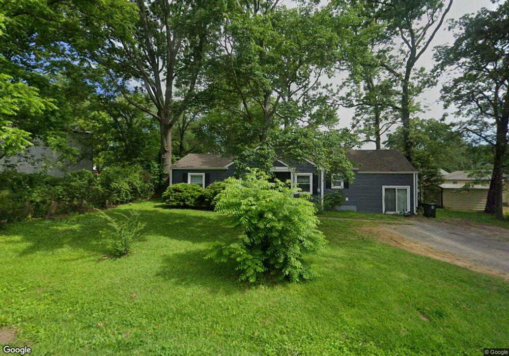
12 Morgan Cir Fort Oglethorpe, GA 30742
Estimated Value: $193,343 - $235,000
Studio
2
Baths
1,481
Sq Ft
$141/Sq Ft
Est. Value
About This Home
This home is located at 12 Morgan Cir, Fort Oglethorpe, GA 30742 and is currently estimated at $208,586, approximately $140 per square foot. 12 Morgan Cir is a home located in Catoosa County with nearby schools including Battlefield Primary School, Battlefield Elementary School, and Lakeview Middle School.
Ownership History
Date
Name
Owned For
Owner Type
Purchase Details
Closed on
Feb 14, 2005
Sold by
Hall Galen D
Bought by
Hall William B and Hall Karen
Current Estimated Value
Home Financials for this Owner
Home Financials are based on the most recent Mortgage that was taken out on this home.
Original Mortgage
$75,600
Outstanding Balance
$42,855
Interest Rate
7.99%
Mortgage Type
New Conventional
Estimated Equity
$165,731
Create a Home Valuation Report for This Property
The Home Valuation Report is an in-depth analysis detailing your home's value as well as a comparison with similar homes in the area
Home Values in the Area
Average Home Value in this Area
Purchase History
| Date | Buyer | Sale Price | Title Company |
|---|---|---|---|
| Hall William B | $75,600 | -- |
Source: Public Records
Mortgage History
| Date | Status | Borrower | Loan Amount |
|---|---|---|---|
| Open | Hall William B | $75,600 |
Source: Public Records
Tax History
| Year | Tax Paid | Tax Assessment Tax Assessment Total Assessment is a certain percentage of the fair market value that is determined by local assessors to be the total taxable value of land and additions on the property. | Land | Improvement |
|---|---|---|---|---|
| 2025 | $1,267 | $76,720 | $10,000 | $66,720 |
| 2024 | $1,476 | $59,634 | $7,920 | $51,714 |
| 2023 | $1,268 | $45,126 | $7,920 | $37,206 |
| 2022 | $1,013 | $36,078 | $7,920 | $28,158 |
| 2021 | $961 | $36,078 | $7,920 | $28,158 |
| 2020 | $926 | $31,356 | $7,920 | $23,436 |
| 2019 | $935 | $31,356 | $7,920 | $23,436 |
| 2018 | $831 | $26,532 | $7,040 | $19,492 |
| 2017 | $842 | $26,853 | $7,040 | $19,813 |
| 2016 | $822 | $25,094 | $7,040 | $18,054 |
| 2015 | -- | $25,094 | $7,040 | $18,054 |
| 2014 | -- | $25,094 | $7,040 | $18,054 |
| 2013 | -- | $25,094 | $7,040 | $18,054 |
Source: Public Records
Map
Nearby Homes
- 47 Elaine Cir
- 71 Elaine Cir
- 2 Polk Cir
- 84 Elaine Cir
- 99 Battlewood Dr
- 4 Shelby St
- 52 S Glade Rd
- 38 Phillips Dr
- 12 Maple Ln
- 117 Gilbert Dr
- 203 Barnhardt Cir
- 1943 Old Lafayette Rd
- 85 Inlet Isle Dr
- 614 Lakeshore Cove Dr Unit 19
- 614 Lakeshore Cove Dr
- 1605 Cannon Dr
- 171 Diane Ln
- 212 Round Tree Dr
- 119 Spinnaker Dr
- 01 7th St
Your Personal Tour Guide
Ask me questions while you tour the home.