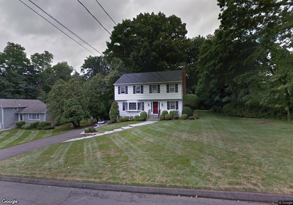
12 Mortar Rock Rd Westport, CT 06880
Compo NeighborhoodEstimated Value: $1,559,406 - $1,879,000
3
Beds
2
Baths
2,014
Sq Ft
$850/Sq Ft
Est. Value
About This Home
This home is located at 12 Mortar Rock Rd, Westport, CT 06880 and is currently estimated at $1,711,602, approximately $849 per square foot. 12 Mortar Rock Rd is a home located in Fairfield County with nearby schools including Saugatuck Elementary School, Bedford Middle School, and Staples High School.
Ownership History
Date
Name
Owned For
Owner Type
Purchase Details
Closed on
Jul 9, 2024
Sold by
Dubinbaum Dawn M
Bought by
Dubinbaum Dawn M and Kinsler Michael H
Current Estimated Value
Purchase Details
Closed on
Apr 24, 1989
Sold by
Upton Dudley
Bought by
Hellgren Dawn
Create a Home Valuation Report for This Property
The Home Valuation Report is an in-depth analysis detailing your home's value as well as a comparison with similar homes in the area
Home Values in the Area
Average Home Value in this Area
Purchase History
| Date | Buyer | Sale Price | Title Company |
|---|---|---|---|
| Dubinbaum Dawn M | -- | None Available | |
| Dubinbaum Dawn M | -- | None Available | |
| Hellgren Dawn | $355,000 | -- |
Source: Public Records
Mortgage History
| Date | Status | Borrower | Loan Amount |
|---|---|---|---|
| Previous Owner | Hellgren Dawn | $200,927 | |
| Previous Owner | Hellgren Dawn | $220,000 | |
| Previous Owner | Hellgren Dawn | $254,000 | |
| Previous Owner | Hellgren Dawn | $256,000 |
Source: Public Records
Tax History Compared to Growth
Tax History
| Year | Tax Paid | Tax Assessment Tax Assessment Total Assessment is a certain percentage of the fair market value that is determined by local assessors to be the total taxable value of land and additions on the property. | Land | Improvement |
|---|---|---|---|---|
| 2025 | $10,696 | $567,100 | $403,800 | $163,300 |
| 2024 | $10,559 | $567,100 | $403,800 | $163,300 |
| 2023 | $10,406 | $567,100 | $403,800 | $163,300 |
| 2022 | $10,247 | $567,100 | $403,800 | $163,300 |
| 2021 | $15,059 | $567,100 | $403,800 | $163,300 |
| 2020 | $10,128 | $606,100 | $425,900 | $180,200 |
| 2019 | $10,219 | $606,100 | $425,900 | $180,200 |
| 2018 | $7,554 | $606,100 | $425,900 | $180,200 |
| 2017 | $10,219 | $606,100 | $425,900 | $180,200 |
| 2016 | $10,219 | $606,100 | $425,900 | $180,200 |
| 2015 | $9,519 | $526,200 | $335,400 | $190,800 |
| 2014 | $9,440 | $526,200 | $335,400 | $190,800 |
Source: Public Records
Map
Nearby Homes
- 171 & 169 Compo Rd S
- 5 Franklin Ave
- 3 Laurel Ln
- 23 Bridge St
- 102 Compo Rd S
- 6 Over Rock Ln
- 33 Burnham Hill
- 109 Greens Farms Rd
- 39 Compo Pkwy
- 61 Edgewater Commons Ln
- 24 Edgemarth Hill Rd
- 5A Sunrise Rd
- 11 Edgewater Hillside
- 123 Greens Farms Rd
- 202 Bradley Ln Unit 202
- 11 Manitou Ct
- 26 Treadwell Ave
- 6 Stony Point Rd
- 195 Hillspoint Rd
- 11 Sterling Dr
- 14 Mortar Rock Rd
- 11 Mortar Rock Rd
- 9 Mortar Rock Rd
- 10 Mortar Rock Rd
- 15 Mortar Rock Rd
- 7 Mortar Rock Rd
- 8 Mansfield Place
- 17 Mortar Rock Rd
- 8 Mortar Rock Rd
- 159A Compo Rd S
- 159 Compo Rd S
- 6 Mansfield Place
- 5 Valley Heights Rd
- 7 Valley Heights Rd
- 155B Compo Rd S
- 155B Compo Rd S
- 155B Compo Rd S Unit 1
- 155B Compo Rd S Unit 2
- 155B Compo Rd S Unit B
- 3 Valley Heights Rd