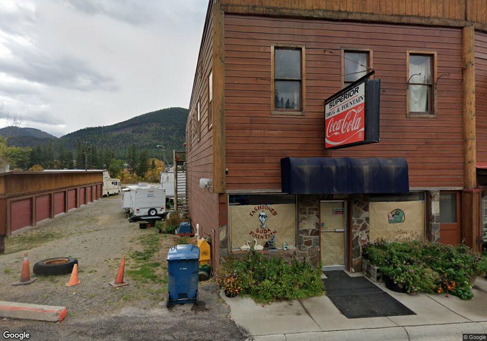
12 Mullan Rd E Superior, MT 59872
Estimated Value: $213,838
2
Beds
2
Baths
3,744
Sq Ft
$57/Sq Ft
Est. Value
About This Home
This home is located at 12 Mullan Rd E, Superior, MT 59872 and is currently estimated at $213,838, approximately $57 per square foot. 12 Mullan Rd E is a home located in Mineral County with nearby schools including Superior Elementary School and Superior High School.
Ownership History
Date
Name
Owned For
Owner Type
Purchase Details
Closed on
Oct 31, 2017
Sold by
Martin Daniel R and Martin Vanessa J
Bought by
First American Title Co and Jfk Properties Llc
Current Estimated Value
Purchase Details
Closed on
Jul 7, 2017
Sold by
Jfk Properties Llc
Bought by
Jfk Properties Llc
Purchase Details
Closed on
Apr 24, 2013
Sold by
Kelly John P and Kelly Frances Y
Bought by
Jfk Properties Llc
Purchase Details
Closed on
Dec 1, 2009
Sold by
Ben & Buffy Kelly Llc
Bought by
Kelly John P and Kelly Frances Y
Purchase Details
Closed on
Aug 1, 2005
Sold by
Chambers Gary W and Chambers Donna M
Bought by
Kelly John P and Kelly Frances Y
Create a Home Valuation Report for This Property
The Home Valuation Report is an in-depth analysis detailing your home's value as well as a comparison with similar homes in the area
Purchase History
| Date | Buyer | Sale Price | Title Company |
|---|---|---|---|
| First American Title Co | $130,000 | Title Financial | |
| Martin Daniel R | -- | First American Title Company | |
| Jfk Properties Llc | -- | Title Services Inc | |
| Jfk Properties Llc | -- | None Available | |
| Kelly John P | -- | Title Financial Speciality | |
| Kelly John P | -- | None Available |
Source: Public Records
Tax History
| Year | Tax Paid | Tax Assessment Tax Assessment Total Assessment is a certain percentage of the fair market value that is determined by local assessors to be the total taxable value of land and additions on the property. | Land | Improvement |
|---|---|---|---|---|
| 2025 | $2,860 | $238,439 | $0 | $0 |
| 2024 | $2,960 | $208,852 | $0 | $0 |
| 2023 | $3,072 | $208,852 | $0 | $0 |
| 2022 | $2,449 | $144,831 | $0 | $0 |
| 2021 | $2,386 | $144,831 | $0 | $0 |
| 2020 | $2,406 | $139,500 | $0 | $0 |
| 2019 | $2,423 | $139,500 | $0 | $0 |
| 2018 | $2,395 | $138,700 | $0 | $0 |
| 2017 | $2,145 | $138,700 | $0 | $0 |
| 2016 | $2,117 | $133,300 | $0 | $0 |
| 2015 | $1,983 | $133,300 | $0 | $0 |
| 2014 | $2,236 | $115,787 | $0 | $0 |
Source: Public Records
Map
Nearby Homes
- 109 Mullan Rd W
- 500 3rd Ave E
- 100 7th St
- 746 Tami Dr
- 303 Iron Mountain Rd
- Lot 5 Tami Dr
- Nhn Clark Fork Dr
- 222 Osprey Dr
- 0 Clark Fork Dr
- 348 Clark Fork Dr
- 115 Osprey Dr
- Nka Osprey Dr Unit Lot 33
- NKA Anderson Rd
- 713 Johnson Ln
- 614 Johnson Ln
- 510 Johnson Ln
- NHN Robins Nest Ln
- 195 Capper Ln
- 4487 Pardee Creek Rd
- Nhn Diamond Match Rd
- 12 Mullan Rd E
- 115 Mullan Rd W
- ??? W Mullan Rd
- 3?? Mullan Rd W
- 3? Mullan Rd W
- 3??? Mullan Rd W
- 15 Mullan Rd W
- 6 Mullan Rd E
- 210 River St
- 6 Mullan Rd E
- 38 Mullan Rd W
- 15 Mullan Rd E
- 101 Mullan Rd W
- 205 River St
- 204 River St
- 102 River St
- 4A, B, C Flat Crk Rd
- 40 Mullan Rd E
- 51 Mullan Rd W
- 53 Mullan Rd E
Your Personal Tour Guide
Ask me questions while you tour the home.