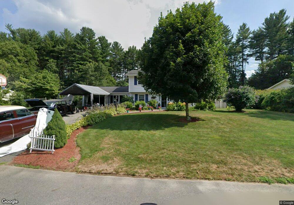
12 Muriel Rd Unit 12 Chelmsford, MA 01824
Estimated Value: $689,000 - $841,000
4
Beds
2
Baths
1,518
Sq Ft
$498/Sq Ft
Est. Value
About This Home
This home is located at 12 Muriel Rd Unit 12, Chelmsford, MA 01824 and is currently estimated at $756,399, approximately $498 per square foot. 12 Muriel Rd Unit 12 is a home located in Middlesex County with nearby schools including South Row Elementary School, McCarthy Middle School, and Chelmsford High School.
Ownership History
Date
Name
Owned For
Owner Type
Purchase Details
Closed on
Jul 29, 2011
Sold by
Ganesan Aravindan and Aravindan Manimekalai
Bought by
Fitzgerald Josef F and Fitzgerald Jennifer M
Current Estimated Value
Home Financials for this Owner
Home Financials are based on the most recent Mortgage that was taken out on this home.
Original Mortgage
$286,547
Outstanding Balance
$197,753
Interest Rate
4.5%
Mortgage Type
FHA
Estimated Equity
$558,646
Purchase Details
Closed on
Nov 14, 2005
Sold by
Magee Patricia A and Magee Paul J
Bought by
Ganesan Aravindan and Aravindan Manimekalai
Home Financials for this Owner
Home Financials are based on the most recent Mortgage that was taken out on this home.
Original Mortgage
$332,000
Interest Rate
5.93%
Mortgage Type
Purchase Money Mortgage
Create a Home Valuation Report for This Property
The Home Valuation Report is an in-depth analysis detailing your home's value as well as a comparison with similar homes in the area
Home Values in the Area
Average Home Value in this Area
Purchase History
| Date | Buyer | Sale Price | Title Company |
|---|---|---|---|
| Fitzgerald Josef F | $294,000 | -- | |
| Fitzgerald Josef F | $294,000 | -- | |
| Ganesan Aravindan | $415,000 | -- | |
| Ganesan Aravindan | $415,000 | -- |
Source: Public Records
Mortgage History
| Date | Status | Borrower | Loan Amount |
|---|---|---|---|
| Open | Fitzgerald Josef F | $286,547 | |
| Closed | Ganesan Aravindan | $286,547 | |
| Previous Owner | Ganesan Aravindan | $332,000 |
Source: Public Records
Tax History Compared to Growth
Tax History
| Year | Tax Paid | Tax Assessment Tax Assessment Total Assessment is a certain percentage of the fair market value that is determined by local assessors to be the total taxable value of land and additions on the property. | Land | Improvement |
|---|---|---|---|---|
| 2025 | $7,756 | $558,000 | $336,700 | $221,300 |
| 2024 | $7,460 | $547,700 | $336,700 | $211,000 |
| 2023 | $7,622 | $530,400 | $362,100 | $168,300 |
| 2022 | $7,153 | $453,600 | $310,600 | $143,000 |
| 2021 | $6,845 | $434,900 | $285,000 | $149,900 |
| 2020 | $6,863 | $417,200 | $248,100 | $169,100 |
| 2019 | $6,493 | $397,100 | $245,800 | $151,300 |
| 2018 | $6,695 | $372,800 | $221,500 | $151,300 |
| 2017 | $6,448 | $359,800 | $207,300 | $152,500 |
| 2016 | $5,789 | $321,100 | $199,000 | $122,100 |
| 2015 | $5,634 | $301,300 | $180,800 | $120,500 |
| 2014 | $5,423 | $285,700 | $170,400 | $115,300 |
Source: Public Records
Map
Nearby Homes
- 162 Mill Rd Unit 162A
- 175 Mill Rd
- 66 Mill Rd
- 2 3rd St
- 6 Walters St
- 30 Regina Dr
- 360 Boston Rd
- 5 Montcastle Dr
- 10 Brook St
- 14 Belmont Dr
- 243 Riverneck Rd
- Map29-14-1 Rangeway Rd
- 216 Rangeway Rd Unit 114
- 40 Old Stage Rd
- 11 Dawn Dr
- 218 Rangeway Rd Unit 261
- 6 Green Valley Dr
- 90 Rangeway Rd Unit 303
- 81 Bartlett St
- 66 Acton Rd