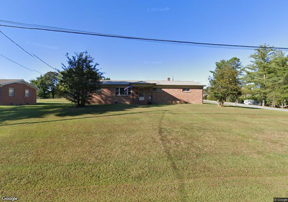
12 N Forrest Dr Thomasville, NC 27360
Estimated Value: $200,000 - $216,000
2
Beds
2
Baths
1,875
Sq Ft
$112/Sq Ft
Est. Value
About This Home
This home is located at 12 N Forrest Dr, Thomasville, NC 27360 and is currently estimated at $210,428, approximately $112 per square foot. 12 N Forrest Dr is a home located in Davidson County with nearby schools including Hasty Elementary School, Ledford Middle School, and Ledford High School.
Ownership History
Date
Name
Owned For
Owner Type
Purchase Details
Closed on
May 5, 1964
Current Estimated Value
Create a Home Valuation Report for This Property
The Home Valuation Report is an in-depth analysis detailing your home's value as well as a comparison with similar homes in the area
Home Values in the Area
Average Home Value in this Area
Purchase History
| Date | Buyer | Sale Price | Title Company |
|---|---|---|---|
| -- | -- | -- |
Source: Public Records
Tax History Compared to Growth
Tax History
| Year | Tax Paid | Tax Assessment Tax Assessment Total Assessment is a certain percentage of the fair market value that is determined by local assessors to be the total taxable value of land and additions on the property. | Land | Improvement |
|---|---|---|---|---|
| 2025 | $640 | $112,060 | $0 | $0 |
| 2024 | $640 | $112,060 | $0 | $0 |
| 2023 | $640 | $112,060 | $0 | $0 |
| 2022 | $640 | $112,060 | $0 | $0 |
| 2021 | $640 | $112,060 | $0 | $0 |
| 2020 | $659 | $109,310 | $0 | $0 |
| 2019 | $669 | $109,310 | $0 | $0 |
| 2018 | $669 | $109,310 | $0 | $0 |
| 2017 | $669 | $109,310 | $0 | $0 |
| 2016 | $646 | $109,310 | $0 | $0 |
| 2015 | $646 | $109,310 | $0 | $0 |
| 2014 | $608 | $104,320 | $0 | $0 |
Source: Public Records
Map
Nearby Homes
- 16 Skye Trail
- 307 Carrington Ln
- 102 Birch Tree Ln
- 1006 Hasty School Rd
- 15 Marietta Ct
- 232 Joe Moore Rd
- 750 N Albertson Road Lot 1 Unit 1
- 456 Pleasant Grove Church Rd Unit 17
- 456 Pleasant Grove Church Rd Unit 7
- 000 Joe Moore Rd
- 17 Grace Dr
- 121 Pleasant Dr
- 111 Landon Ln
- 110 Landon Ln
- 109 Landon Ln
- 105 Landon Ln
- 108 Landon Ln
- 122 Circle Dr
- 14 Shanda Ct
- 1496 National Hwy
- 14 N Forrest Dr
- 101 Midway Ln
- 8 N Forrest Dr
- 16 N Forrest Dr
- 103 Midway Ln
- 13 N Forrest Dr
- 102 Midway Ln
- 11 N Forrest Dr
- 6 N Forrest Dr
- 102 Chriswood Ave
- 15 N Forrest Dr
- 100 Chriswood Ave
- 7 N Forrest Dr
- 104 Midway Ln
- 17 N Forrest Dr
- 104 Chriswood Ave
- 105 Midway Ln
- 5 N Forrest Dr
- 106 Midway Ln
- 19 N Forrest Dr