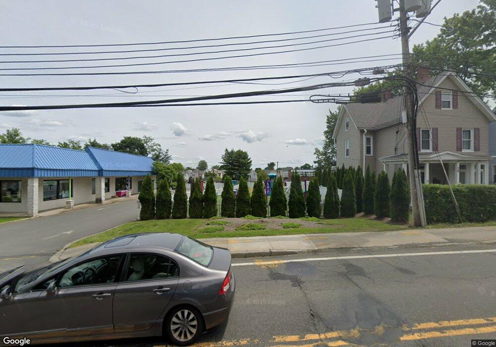
12 N Route 9w West Haverstraw, NY 10993
Estimated Value: $240,000 - $451,000
2
Beds
3
Baths
1,095
Sq Ft
$304/Sq Ft
Est. Value
About This Home
This home is located at 12 N Route 9w, West Haverstraw, NY 10993 and is currently estimated at $332,560, approximately $303 per square foot. 12 N Route 9w is a home located in Rockland County with nearby schools including West Haverstraw Elementary School, Haverstraw Elementary School, and Fieldstone Secondary School.
Ownership History
Date
Name
Owned For
Owner Type
Purchase Details
Closed on
Sep 27, 2016
Sold by
Corish Leonard
Bought by
Learning Ladder Child Care Center Inc
Current Estimated Value
Purchase Details
Closed on
Apr 28, 2016
Sold by
Federal Home Loan Mortgage Corporation
Bought by
Corish Leonard
Purchase Details
Closed on
Feb 18, 2016
Sold by
Referee Of Rockland County
Bought by
Federal Home Loan Mortgage Corporation
Purchase Details
Closed on
Aug 26, 1998
Sold by
Foley Margaret T
Bought by
Moschetti Maureen and Moschetti Anthony
Create a Home Valuation Report for This Property
The Home Valuation Report is an in-depth analysis detailing your home's value as well as a comparison with similar homes in the area
Home Values in the Area
Average Home Value in this Area
Purchase History
| Date | Buyer | Sale Price | Title Company |
|---|---|---|---|
| Learning Ladder Child Care Center Inc | $90,500 | Celtic Title | |
| Corish Leonard | $53,000 | None Available | |
| Federal Home Loan Mortgage Corporation | -- | None Available | |
| Moschetti Maureen | $135,000 | Lawyers Title Insurance Corp |
Source: Public Records
Mortgage History
| Date | Status | Borrower | Loan Amount |
|---|---|---|---|
| Closed | Federal Home Loan Mortgage Corporation | $0 |
Source: Public Records
Tax History Compared to Growth
Tax History
| Year | Tax Paid | Tax Assessment Tax Assessment Total Assessment is a certain percentage of the fair market value that is determined by local assessors to be the total taxable value of land and additions on the property. | Land | Improvement |
|---|---|---|---|---|
| 2024 | $3,865 | $53,000 | $43,000 | $10,000 |
| 2023 | $3,865 | $53,000 | $43,000 | $10,000 |
| 2022 | $3,819 | $53,000 | $43,000 | $10,000 |
| 2021 | $3,802 | $53,000 | $43,000 | $10,000 |
| 2020 | $3,436 | $53,000 | $43,000 | $10,000 |
| 2019 | $3,311 | $53,000 | $43,000 | $10,000 |
| 2018 | $3,311 | $53,000 | $43,000 | $10,000 |
| 2017 | $3,141 | $53,000 | $43,000 | $10,000 |
| 2016 | $3,936 | $53,000 | $43,000 | $10,000 |
Source: Public Records
Map
Nearby Homes
- 16 Demarest Ave
- 40 N Route 9w
- 34 Roosevelt Dr
- 34 Zugibe Ct
- 34 Brownsell Ave
- 24 Benson St
- 92 Benson St
- 10 Campbell Ct
- 27 N Wayne Ave
- 31 N Wayne Ave
- 3 N Wayne Ave
- 37 Prospect St
- 25 Wayne Ave
- 12 Hillside Ave
- 50 N Wayne Ave
- 15 Kwiecinski St
- 138 W Railroad Ave
- 14 Lafayette St
- 33 Easton St
- 22 Ferracane Place