12 Neponset Cir Limerick, ME 04048
Lake Arrowhead NeighborhoodEstimated Value: $426,000 - $446,000
3
Beds
3
Baths
1,768
Sq Ft
$246/Sq Ft
Est. Value
About This Home
This home is located at 12 Neponset Cir, Limerick, ME 04048 and is currently estimated at $435,632, approximately $246 per square foot. 12 Neponset Cir is a home located in York County with nearby schools including Massabesic High School.
Create a Home Valuation Report for This Property
The Home Valuation Report is an in-depth analysis detailing your home's value as well as a comparison with similar homes in the area
Home Values in the Area
Average Home Value in this Area
Tax History Compared to Growth
Tax History
| Year | Tax Paid | Tax Assessment Tax Assessment Total Assessment is a certain percentage of the fair market value that is determined by local assessors to be the total taxable value of land and additions on the property. | Land | Improvement |
|---|---|---|---|---|
| 2025 | $4,518 | $475,585 | $86,218 | $389,367 |
| 2024 | $4,518 | $475,585 | $86,218 | $389,367 |
| 2023 | $4,062 | $267,248 | $33,950 | $233,298 |
| 2022 | $3,795 | $267,248 | $33,950 | $233,298 |
| 2021 | $3,549 | $213,798 | $27,160 | $186,638 |
| 2020 | $3,506 | $213,798 | $27,160 | $186,638 |
| 2019 | $3,367 | $213,798 | $27,160 | $186,638 |
| 2018 | $3,453 | $213,798 | $27,160 | $186,638 |
| 2017 | $3,367 | $213,798 | $27,160 | $186,638 |
| 2016 | $3,218 | $213,798 | $27,160 | $186,638 |
| 2015 | $3,121 | $213,798 | $27,160 | $186,638 |
| 2014 | $3,025 | $213,798 | $27,160 | $186,638 |
Source: Public Records
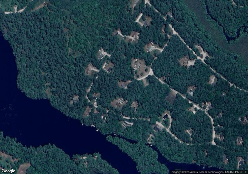
Map
Nearby Homes
- 4 Dragonfly Cir
- 157 Silver Ln
- Mp44Lt270 Silver Ln
- 138 Fairview Dr
- 17 High Point Cir
- TBD New Dam Rd
- 60 Sequoia Ln
- 0 Hunter Rd Unit 1643176
- 386 Lenox Cir
- 126 Greenfield Rd
- 685 Crystal Ln
- 0 Island Rd Unit 1643509
- 50 Island Rd
- Lot 2203 Kennedy Dr
- 65 Beaver Dam Rd Unit Lot A
- M13L30 Clarks Bridge Rd
- 13 Quaker Ln
- 6 Little Ossipee Landing
- 5 Clarks Bridge Rd
- 474 Doles Ridge Rd
- 12 Neponset Dr
- 241 Neponset Dr
- 50 Silver Ln
- 86 Silver Ln
- 4 Neponset Cir
- 7 Neponset Cir
- 92 Silver Ln
- 0 Neponset Cir Unit 230750
- 0 Neponset Cir Unit 890771
- 0 Neponset Cir Unit 922407
- 75 Silver Ln
- 49 Silver Ln
- 57 Silver Ln
- 73 Silver Ln
- 77 Silver Ln
- 11 Division Rd
- 28 Silver Ln
- 34 Silver Ln
- Lot 255/25 Division Rd
- 71 Silver Ln