Estimated Value: $221,000
--
Bed
--
Bath
--
Sq Ft
7,405
Sq Ft Lot
About This Home
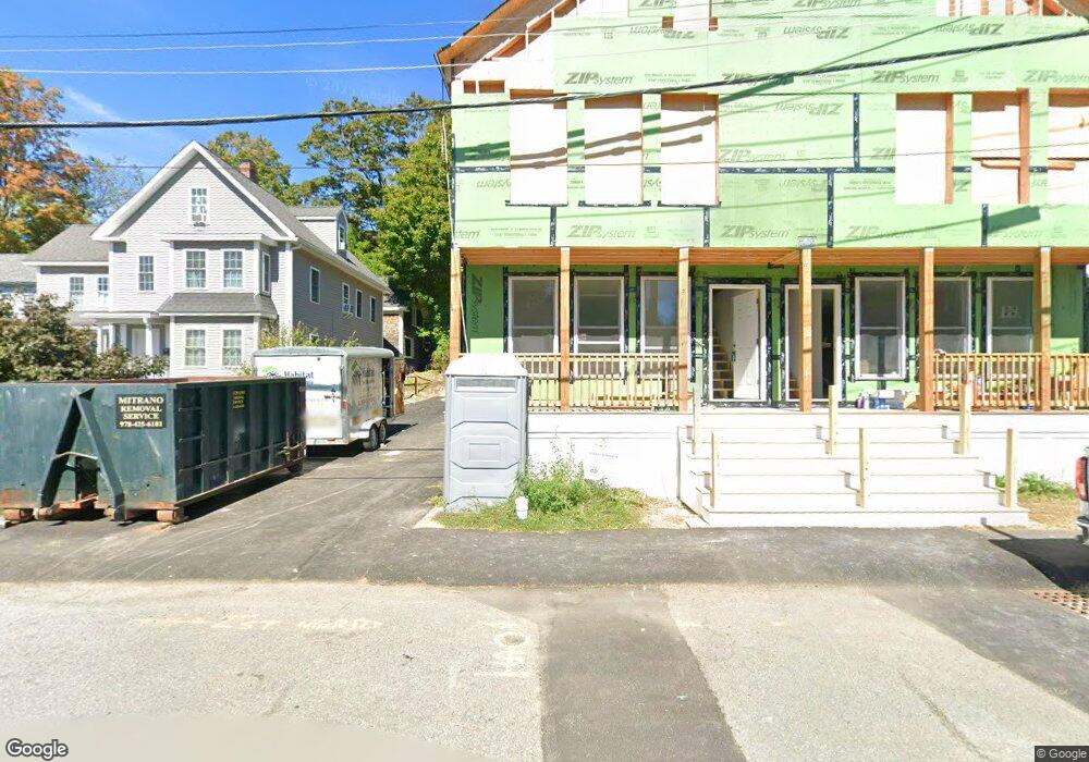
This home is located at 12 Newton St, Ayer, MA 01432 and is currently priced at $221,000. 12 Newton St is a home located in Middlesex County with nearby schools including Page Hilltop School, Lura A. White Elementary School, and Ayer Shirley Regional Middle School.
Ownership History
Date
Name
Owned For
Owner Type
Purchase Details
Closed on
Dec 27, 2023
Sold by
Main Street Bank
Bought by
Habitat For Humanity Nort
Current Estimated Value
Purchase Details
Closed on
May 21, 2010
Sold by
Wentzell Stephen C
Bought by
North Middlesex Sb
Purchase Details
Closed on
Apr 28, 2005
Sold by
Fredericks Peter T and Fredericks Virginia H
Bought by
Wentzell Stephen C
Purchase Details
Closed on
Apr 14, 2005
Sold by
Hadley Robert and Fredericks Virginia
Bought by
Fredericks Peter T and Fredericks Virginia H
Create a Home Valuation Report for This Property
The Home Valuation Report is an in-depth analysis detailing your home's value as well as a comparison with similar homes in the area
Home Values in the Area
Average Home Value in this Area
Purchase History
| Date | Buyer | Sale Price | Title Company |
|---|---|---|---|
| Habitat For Humanity Nort | -- | None Available | |
| Habitat For Humanity Nort | -- | None Available | |
| North Middlesex Sb | $794,377 | -- | |
| North Middlesex Sb | $794,377 | -- | |
| Wentzell Stephen C | $120,000 | -- | |
| Wentzell Stephen C | $120,000 | -- | |
| Fredericks Peter T | -- | -- | |
| Fredericks Peter T | -- | -- |
Source: Public Records
Tax History Compared to Growth
Tax History
| Year | Tax Paid | Tax Assessment Tax Assessment Total Assessment is a certain percentage of the fair market value that is determined by local assessors to be the total taxable value of land and additions on the property. | Land | Improvement |
|---|---|---|---|---|
| 2025 | $3,978 | $157,100 | $157,100 | $0 |
| 2024 | $3,978 | $145,300 | $145,300 | $0 |
| 2023 | $3,725 | $135,700 | $135,700 | $0 |
| 2022 | $3,261 | $115,300 | $115,300 | $0 |
| 2021 | $2,993 | $102,600 | $102,600 | $0 |
| 2020 | $3,063 | $103,600 | $103,600 | $0 |
| 2019 | $6,865 | $98,500 | $98,500 | $0 |
| 2018 | $6,312 | $98,500 | $98,500 | $0 |
| 2017 | $3,018 | $98,500 | $98,500 | $0 |
| 2016 | $2,937 | $95,000 | $95,000 | $0 |
| 2015 | $2,847 | $95,000 | $95,000 | $0 |
| 2014 | $2,712 | $95,000 | $95,000 | $0 |
Source: Public Records
Map
Nearby Homes
- 9 Nashua St
- 8 High St
- 21 High St
- 17 Grove St
- 38 Norwood Ave
- 41 E Main St
- 14 Brook St
- 0ABC Park St
- 0 Lot D Park St
- 63 E Main St
- 7 Groton Harvard Rd
- 25 Groton School Rd Unit 23
- 184 W Main St Unit B2
- 24 Harvard Rd Unit C
- 31 Independence Dr
- 23 Calvin St
- 51 Sandy Pond Rd
- 18 Douglas Dr
- 121 Culver Rd
- 0 Ayer & Old Mill Rd
- 10 Newton St Unit B
- 10 Newton St Unit A
- 10 Newton St
- 2 Central Ave
- 8 Newton St
- 24 Columbia St Unit 1,24
- 24 Columbia St Unit 2,24
- 24 Columbia St Unit 4,24
- 24 Columbia St
- 24 Columbia St Unit 7
- 21 Cambridge St
- 11 Columbia St Unit 4
- 11 Columbia St Unit 5
- 11 Columbia St Unit 1,11
- 11 Columbia St Unit 3,11
- 11 Columbia St
- 11 Columbia St Unit 2,11
- 19 Columbia St
- 19 Columbia St Unit 1
- 19 Columbia St Unit 1 & 2