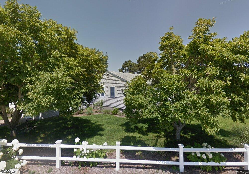
12 Nipigon Way E Dennis Port, MA 02639
Dennis Port NeighborhoodEstimated Value: $713,349 - $794,000
3
Beds
2
Baths
1,216
Sq Ft
$623/Sq Ft
Est. Value
About This Home
This home is located at 12 Nipigon Way E, Dennis Port, MA 02639 and is currently estimated at $758,087, approximately $623 per square foot. 12 Nipigon Way E is a home located in Barnstable County with nearby schools including Dennis-Yarmouth Regional High School and St. Pius X. School.
Ownership History
Date
Name
Owned For
Owner Type
Purchase Details
Closed on
Mar 1, 2013
Sold by
Mackenzie William R and Mackenzie Eileen M
Bought by
Capemack Rt
Current Estimated Value
Purchase Details
Closed on
Aug 27, 2010
Sold by
Bevivino Victoria
Bought by
Mackenzie William R and Mackenzie Eileen M
Home Financials for this Owner
Home Financials are based on the most recent Mortgage that was taken out on this home.
Original Mortgage
$80,000
Interest Rate
4.57%
Mortgage Type
Purchase Money Mortgage
Create a Home Valuation Report for This Property
The Home Valuation Report is an in-depth analysis detailing your home's value as well as a comparison with similar homes in the area
Home Values in the Area
Average Home Value in this Area
Purchase History
| Date | Buyer | Sale Price | Title Company |
|---|---|---|---|
| Capemack Rt | -- | -- | |
| Mackenzie William R | $370,000 | -- |
Source: Public Records
Mortgage History
| Date | Status | Borrower | Loan Amount |
|---|---|---|---|
| Previous Owner | Mackenzie William R | $80,000 |
Source: Public Records
Tax History Compared to Growth
Tax History
| Year | Tax Paid | Tax Assessment Tax Assessment Total Assessment is a certain percentage of the fair market value that is determined by local assessors to be the total taxable value of land and additions on the property. | Land | Improvement |
|---|---|---|---|---|
| 2025 | $2,850 | $658,100 | $205,700 | $452,400 |
| 2024 | $2,727 | $621,200 | $197,800 | $423,400 |
| 2023 | $2,639 | $565,000 | $179,800 | $385,200 |
| 2022 | $2,504 | $447,200 | $162,000 | $285,200 |
| 2021 | $2,534 | $420,300 | $181,500 | $238,800 |
| 2020 | $2,294 | $376,000 | $158,800 | $217,200 |
| 2019 | $2,158 | $349,700 | $155,700 | $194,000 |
| 2018 | $2,062 | $325,200 | $148,200 | $177,000 |
| 2017 | $1,967 | $319,800 | $137,600 | $182,200 |
| 2016 | $1,986 | $304,200 | $148,200 | $156,000 |
| 2015 | $1,947 | $304,200 | $148,200 | $156,000 |
| 2014 | $1,797 | $283,000 | $127,000 | $156,000 |
Source: Public Records
Map
Nearby Homes
- 80 Michaels Ave
- 27 Mayflower Ln
- 37 Ocean Dr Unit 2
- 10 Grindell Ave
- 112 Old Wharf Rd Unit E4
- 112 Old Wharf Rd Unit E1
- 61 Trotters Ln
- 154 Old Wharf Rd Unit 26
- 154 Old Wharf Rd Unit 14
- 18 Holiday Ln
- 15 Woodside Park Rd
- 6 Baker Way
- 71 Main St
- 4 Coffey Ln
- 217 Old Wharf Rd Unit 64
- 125 Main St Unit 3
- 241 Old Wharf Rd Unit 82
- 241 Old Wharf Rd Unit 127
- 262 Old Wharf Rd Unit 67
- 262 Old Wharf Rd Unit 5
- 2 Nipigon Way E
- 54 Northern Ave
- 22 Nipigon Way E
- 9 Nipigon Way E
- 19 Nipigon Way E
- 3 Nipigon Way E
- 58 Northern Ave
- 13 Nipigon Way E
- 21 Nipigon Way E
- 46 Northern Ave
- 1 Nipigon Way W
- 119 Michaels Ave
- 119 Michael's
- 118 Michaels Ave
- 8 Greeneedle Ln
- 2 Nipigon Way W
- 39 Lawrence Rd
- 12 Greeneedle Ln
- 29 Nipigon Way E
- 6 Greeneedle Ln